Get sf POLYGON of the national geographic grids from EEA
Source: R/esp_get_grid_EEA.R
esp_get_grid_EEA.RdLoads a sf POLYGON with the geographic grids of Spain as
provided by the European Environment Agency (EEA).
Usage
esp_get_grid_EEA(
  resolution = 100,
  type = "main",
  update_cache = FALSE,
  cache_dir = NULL,
  verbose = FALSE
)Arguments
- resolution
Resolution of the grid in kms. Could be
1,10or100.- type
The scope of the grid. It could be mainland Spain (
"main") or the Canary Islands ("canary").- update_cache
A logical whether to update cache. Default is
FALSE. When set toTRUEit would force a fresh download of the source file.- cache_dir
A path to a cache directory. See About caching.
- verbose
Logical, displays information. Useful for debugging, default is
FALSE.
Value
A sf POLYGON.
About caching
You can set your cache_dir with esp_set_cache_dir().
Sometimes cached files may be corrupt. On that case, try re-downloading
the data setting update_cache = TRUE.
If you experience any problem on download, try to download the
corresponding .geojson file by any other method and save it on your
cache_dir. Use the option verbose = TRUE for debugging the API query.
See also
Other grids:
esp_get_grid_BDN(),
esp_get_grid_ESDAC(),
esp_get_grid_MTN()
Examples
# \dontrun{
grid <- esp_get_grid_EEA(type = "main", resolution = 100)
grid_can <- esp_get_grid_EEA(type = "canary", resolution = 100)
esp <- esp_get_country(moveCAN = FALSE)
library(ggplot2)
ggplot(grid) +
geom_sf() +
geom_sf(data = grid_can) +
geom_sf(data = esp, fill = NA) +
theme_light() +
labs(title = "EEA Grid for Spain")
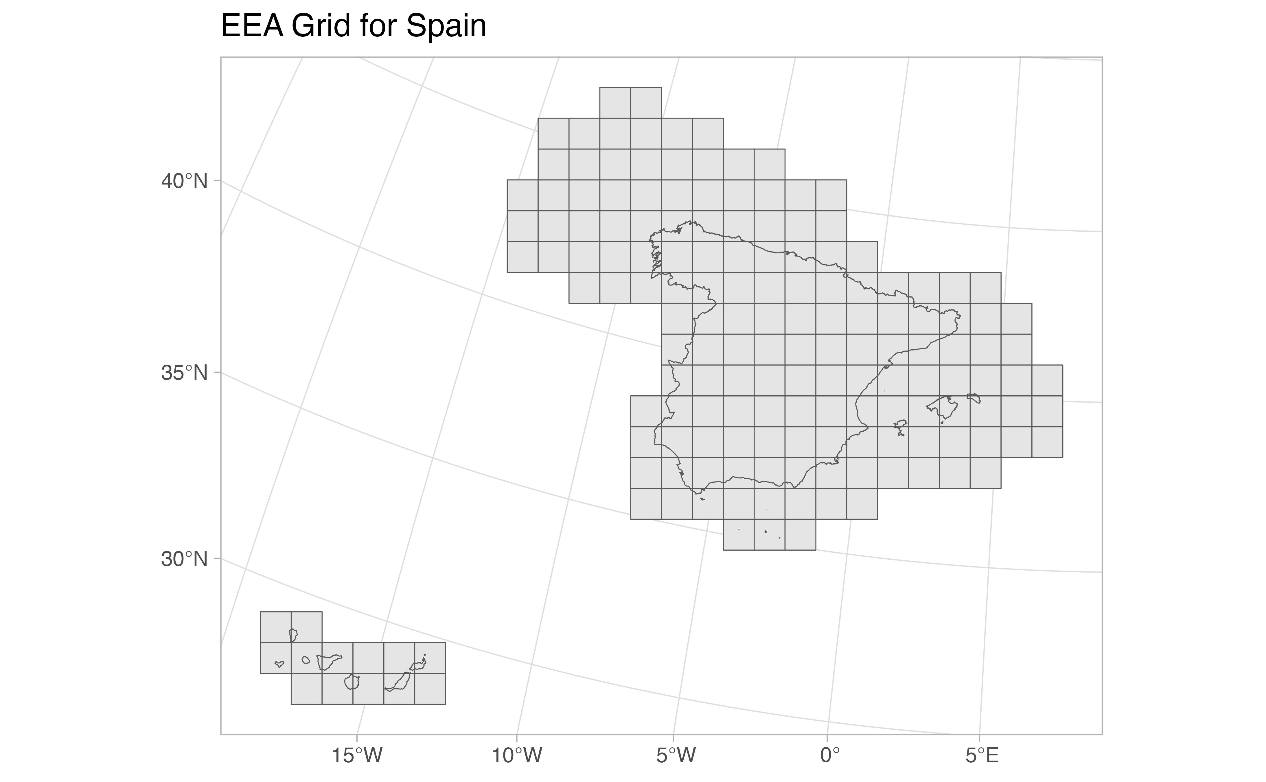 # }
# }