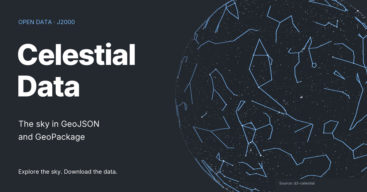

Preview selected datasets using Leaflet. Large star and deep-sky catalogs may take longer to load. You can download the selected GeoJSON file even if the interactive preview is unavailable.
These are J2000 celestial coordinates represented as geographic geometries. The geographic background is a visual reference, not a map of the night sky as seen from your location. The Mercator view does not show the poles.
Leaflet preview
Choose a dataset to load it. Use the map's zoom buttons or focus the map to pan with the arrow keys and zoom with + and −. The previous dataset remains visible until its replacement has loaded.
The interactive preview requires JavaScript.