
Asterisms
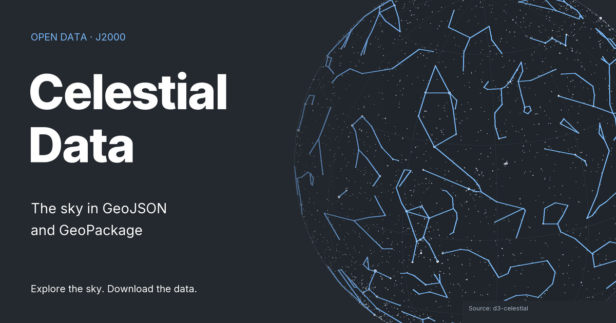
Line patterns for asterisms in the J2000 celestial reference, with names and label positions from d3-celestial. GeoJSON and GeoPackage geometries support sky-map illustration; the coordinates describe celestial directions, not places on Earth.
65 features · MultiLineString
These are J2000 celestial coordinates encoded as geographic geometries for use in GIS software. They do not describe locations on Earth or the current sky above an observer. Minified GeoJSON removes whitespace; it does not simplify geometry.
Derived from d3-celestial by Olaf Frohn and processed with R and sf by Diego Hernangómez. Distributed under the BSD 3-Clause license.
The DOI 10.5281/zenodo.7561601 identifies the Celestial Data collection. Downloads here follow the repository's main branch and may differ from an archived release.
All downloads · Field descriptions · Data sources · Interactive preview of selected datasets