Retrieve geoBoundaries country files for a specified administrative level
Source:R/gb-get-adm.R
gb_get_adm.RdAttribution is required for all uses of this dataset.
These functions are convenience wrappers around gb_get() for retrieving
boundaries at different administrative levels:
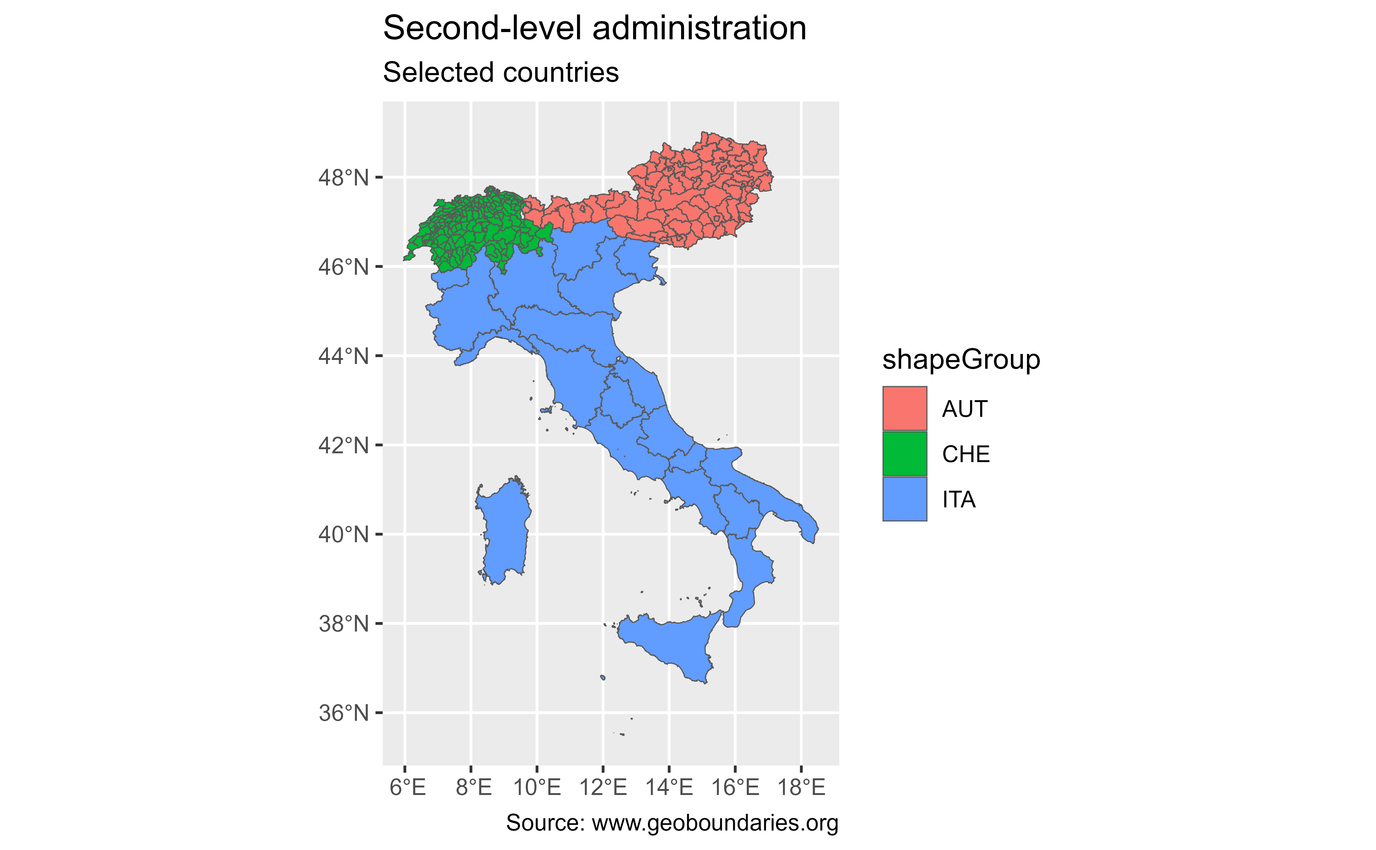
gb_get_adm0()returns national boundaries.gb_get_adm1()returns first‑level administrative boundaries (e.g., states in the United States).gb_get_adm2()returns second‑level administrative boundaries (e.g., counties in the United States).gb_get_adm3()returns third‑level administrative boundaries (e.g., towns or cities in some countries).gb_get_adm4()returns fourth‑level administrative boundaries.gb_get_adm5()returns fifth‑level administrative boundaries.
Note that administrative hierarchies vary by country. Use gb_get_max_adm_lvl to check the maximum available level.
Usage
gb_get_adm0(
  country,
  simplified = FALSE,
  release_type = c("gbOpen", "gbHumanitarian", "gbAuthoritative"),
  quiet = TRUE,
  overwrite = FALSE,
  path = NULL
)

gb_get_adm1(
  country,
  simplified = FALSE,
  release_type = c("gbOpen", "gbHumanitarian", "gbAuthoritative"),
  quiet = TRUE,
  overwrite = FALSE,
  path = NULL
)

gb_get_adm2(
  country,
  simplified = FALSE,
  release_type = c("gbOpen", "gbHumanitarian", "gbAuthoritative"),
  quiet = TRUE,
  overwrite = FALSE,
  path = NULL
)

gb_get_adm3(
  country,
  simplified = FALSE,
  release_type = c("gbOpen", "gbHumanitarian", "gbAuthoritative"),
  quiet = TRUE,
  overwrite = FALSE,
  path = NULL
)

gb_get_adm4(
  country,
  simplified = FALSE,
  release_type = c("gbOpen", "gbHumanitarian", "gbAuthoritative"),
  quiet = TRUE,
  overwrite = FALSE,
  path = NULL
)

gb_get_adm5(
  country,
  simplified = FALSE,
  release_type = c("gbOpen", "gbHumanitarian", "gbAuthoritative"),
  quiet = TRUE,
  overwrite = FALSE,
  path = NULL
)
Source
geoBoundaries API Service https://www.geoboundaries.org/api.html.
Arguments
- country
Character vector of country identifiers. This can be
"all"(to return data for all countries), a vector of country names, or ISO3 country codes. See alsocountrycode::countrycode().- simplified
logical. If
TRUE, return simplified boundaries. IfFALSE(the default), use the premier geoBoundaries release.- release_type
One of
"gbOpen","gbHumanitarian", or"gbAuthoritative". For most users,"gbOpen"(the default) is recommended, as it is CC-BY 4.0 compliant and suitable for most purposes provided proper attribution is given:"gbHumanitarian"files are mirrored from UN OCHA and may have more restrictive licensing."gbAuthoritative"files are mirrored from UN SALB and cannot be used for commercial purposes, but are verified through in-country processes.
- quiet
logical. If
TRUE, suppress informational messages.- overwrite
logical. If
TRUE, force a fresh download of the source.zipfile, even if it is already cached.- path
Character. Path to a cache directory. If
NULL(the default), data are stored in the default cache directory (seegb_set_cache()). If no cache directory has been configured, files are stored in a temporary directory (seebase::tempdir()).
Value
An sf object containing the requested boundaries.
Details
Individual boundary files in the geoBoundaries database are governed by the
license or licenses specified in their associated metadata (see
gb_get_metadata()). Users working with individual boundary files should
ensure that they comply with these licenses and cite the original data
sources listed in the metadata. See Examples.
References
Runfola, D. et al. (2020) geoBoundaries: A global database of political administrative boundaries. PLoS ONE 15(4): e0231866. doi:10.1371/journal.pone.0231866 .
See also
Other API functions:
gb_get(),
gb_get_world()