Attribution is required for all uses of this dataset.
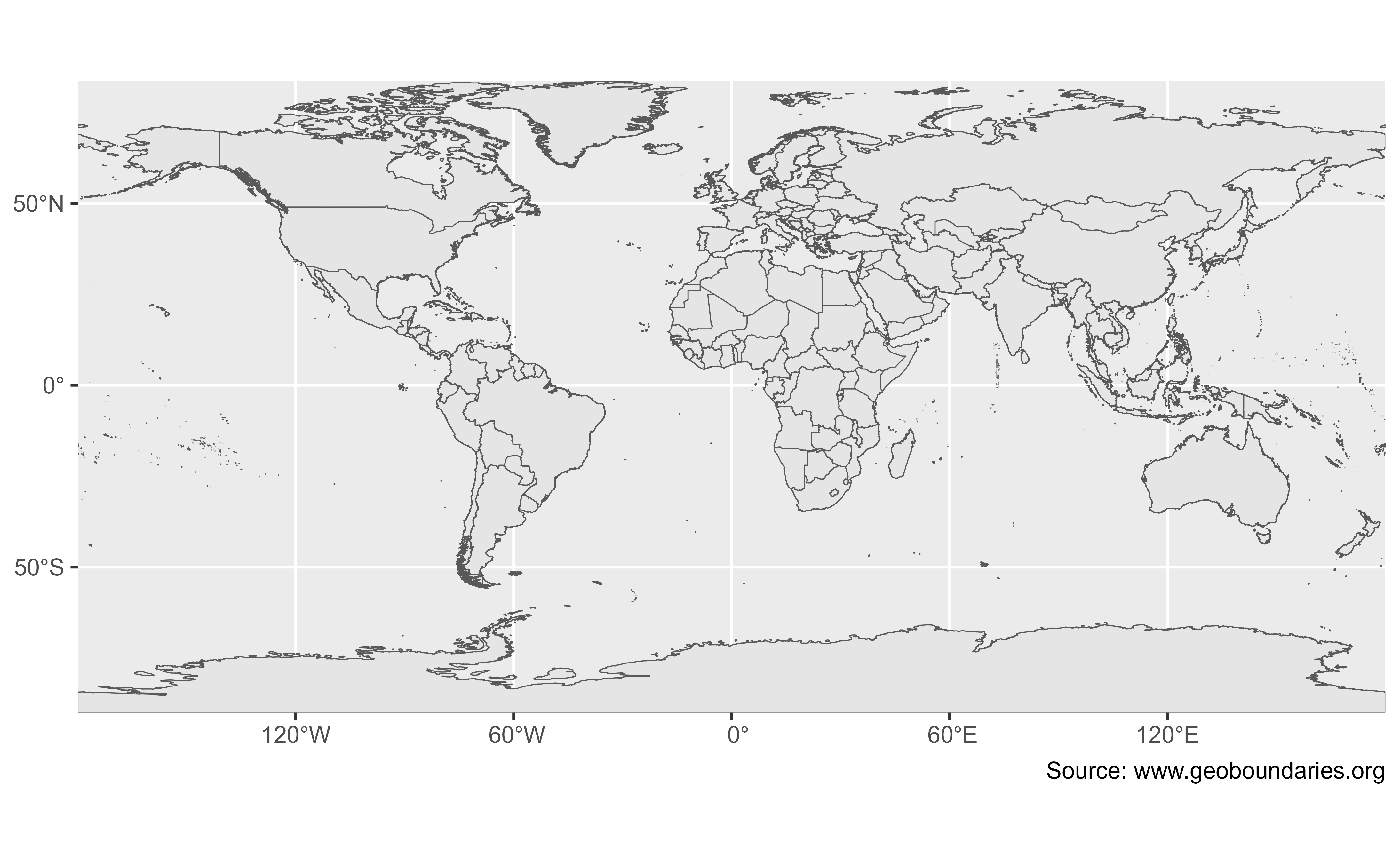
This function returns a global composite for the requested administrative level, clipped to international boundaries, with gaps filled between adjacent borders.
Usage
gb_get_world(
  country = "all",
  adm_lvl = "adm0",
  quiet = TRUE,
  overwrite = FALSE,
  path = NULL
)
Source
geoBoundaries API Service https://www.geoboundaries.org/api.html.
Arguments
- country
Character vector of country identifiers. This can be
"all"(to return data for all countries), a vector of country names, or ISO3 country codes. See alsocountrycode::countrycode().- adm_lvl
Type of boundary. Accepted values are administrative levels 0, 1, and 2.
"adm0"corresponds to national boundaries,"adm1"to first‑level subnational boundaries, and"adm2"to second‑level boundaries. Uppercase variants (e.g.,"ADM1") and numeric values (0,1,2) are also accepted.- quiet
logical. If
TRUE, suppress informational messages.- overwrite
logical. If
TRUE, force a fresh download of the source.zipfile, even if it is already cached.- path
Character. Path to a cache directory. If
NULL(the default), data are stored in the default cache directory (seegb_set_cache()). If no cache directory has been configured, files are stored in a temporary directory (seebase::tempdir()).
Value
An sf object containing the requested boundaries.
Details
Comprehensive Global Administrative Zones (CGAZ) is a set of global composite administrative boundary products. There are two key differences between these global composites and individual country downloads:
Boundaries undergo extensive simplification to ensure file sizes remain manageable for typical desktop software.
Disputed areas are removed and replaced with polygons defined according to U.S. Department of State guidelines.
References
Runfola, D. et al. (2020) geoBoundaries: A global database of political administrative boundaries. PLoS ONE 15(4): e0231866. doi:10.1371/journal.pone.0231866 .
See also
Other API functions:
gb_get(),
gb_get_adm