
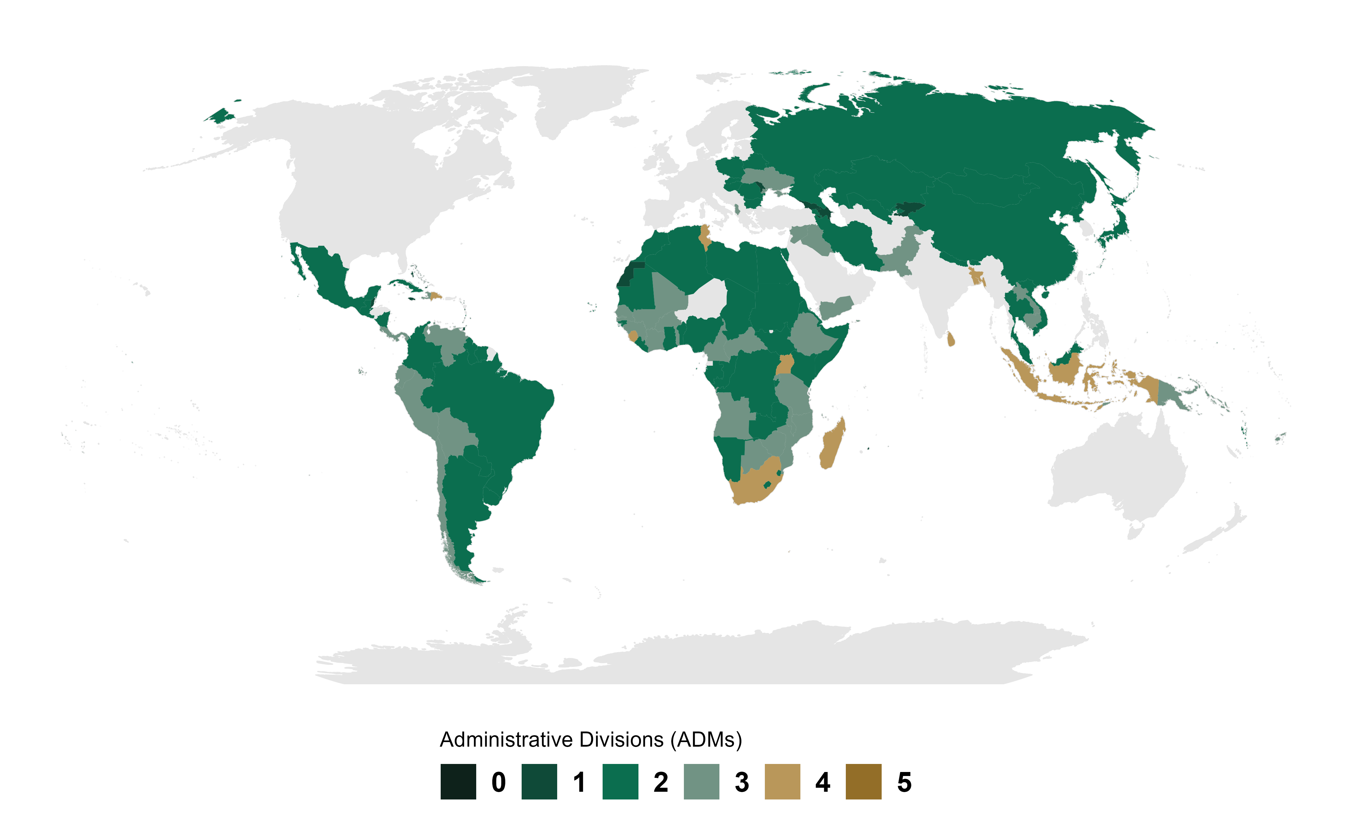
gbHumanitarian coverage
The map shows the highest available ADM level for each country in the gbHumanitarian release type.
These boundaries are not covered by the package’s MIT license. Check the current boundary metadata for the original source, license and attribution terms.
gbHumanitarian metadata
For field definitions, sources and licensing, see the metadata vignette.
The table lists boundary metadata and archive links for gbHumanitarian. Use the filters or search box to find a country or ADM level.