These functions call gb_get() for a single ADM level. gb_get_adm0()
returns country boundaries, gb_get_adm1() returns first-level subnational
boundaries (for example, states in the United States) and gb_get_adm2()
returns second-level subnational boundaries (for example, counties in the
United States). gb_get_adm3(), gb_get_adm4() and gb_get_adm5() return
third-, fourth- and fifth-level administrative boundaries, respectively.
Not all countries have the same number of ADM levels. Use
gb_get_max_adm_lvl() to check availability.
Boundaries downloaded through these functions are not covered by the package's MIT license. Attribution to geoBoundaries and the original sources is required when sharing the boundaries or derived products.
Usage
gb_get_adm0(
  country,
  simplified = FALSE,
  release_type = c("gbOpen", "gbHumanitarian", "gbAuthoritative"),
  quiet = TRUE,
  overwrite = FALSE,
  cache_dir = NULL
)

gb_get_adm1(
  country,
  simplified = FALSE,
  release_type = c("gbOpen", "gbHumanitarian", "gbAuthoritative"),
  quiet = TRUE,
  overwrite = FALSE,
  cache_dir = NULL
)

gb_get_adm2(
  country,
  simplified = FALSE,
  release_type = c("gbOpen", "gbHumanitarian", "gbAuthoritative"),
  quiet = TRUE,
  overwrite = FALSE,
  cache_dir = NULL
)

gb_get_adm3(
  country,
  simplified = FALSE,
  release_type = c("gbOpen", "gbHumanitarian", "gbAuthoritative"),
  quiet = TRUE,
  overwrite = FALSE,
  cache_dir = NULL
)

gb_get_adm4(
  country,
  simplified = FALSE,
  release_type = c("gbOpen", "gbHumanitarian", "gbAuthoritative"),
  quiet = TRUE,
  overwrite = FALSE,
  cache_dir = NULL
)

gb_get_adm5(
  country,
  simplified = FALSE,
  release_type = c("gbOpen", "gbHumanitarian", "gbAuthoritative"),
  quiet = TRUE,
  overwrite = FALSE,
  cache_dir = NULL
)Arguments
- country
A character vector of country names or ISO 3166-1 alpha-3 country codes. Use
"all"to return boundaries for all countries. See alsocountrycode::countrycode()from countrycode.- simplified
A logical value. If
TRUE, return simplified boundaries. The defaultFALSEuses the primary geoBoundaries layer. See simplified boundaries at https://www.geoboundaries.org/.- release_type
A character string, one of
"gbOpen","gbHumanitarian"or"gbAuthoritative". For most users, use"gbOpen"(the default), which contains openly licensed boundaries suitable for most purposes when their individual license terms are followed."gbHumanitarian"boundaries are mirrored from UN OCHA and may have additional conditions."gbAuthoritative"boundaries are mirrored from UN SALB, verified through in-country processes and cannot be used for commercial purposes.- quiet
A logical value. If
TRUE, suppress informational messages.- overwrite
A logical value. If
TRUE, force a fresh download of the source.ziparchive.- cache_dir
A path to a cache directory. If not set (the default
NULL), boundary archives are stored in the default cache directory (seegb_set_cache_dir()). If no cache directory has been set, archives are stored in a temporary cache directory. Seebase::tempdir()and the cache strategies ingb_set_cache_dir().
Value
An sf object from sf containing the requested
boundaries. If no boundaries match the request, the function returns
NULL.
Details
Each individual country boundary layer is governed by the original license
identified in its boundary metadata. See gb_get_metadata(). Users should
cite the sources listed in the metadata and comply with any attribution,
share-alike or non-commercial terms.
References
Runfola et al. (2020) "geoBoundaries: A global database of political administrative boundaries." PLOS ONE, 15(4), 1–9. doi:10.1371/journal.pone.0231866 .
See also
gb_get_metadata()inspects boundary metadata and licensing.gb_get_max_adm_lvl()checks available ADM levels.
Boundary download functions:
gb_get(),
gb_get_world()
Examples
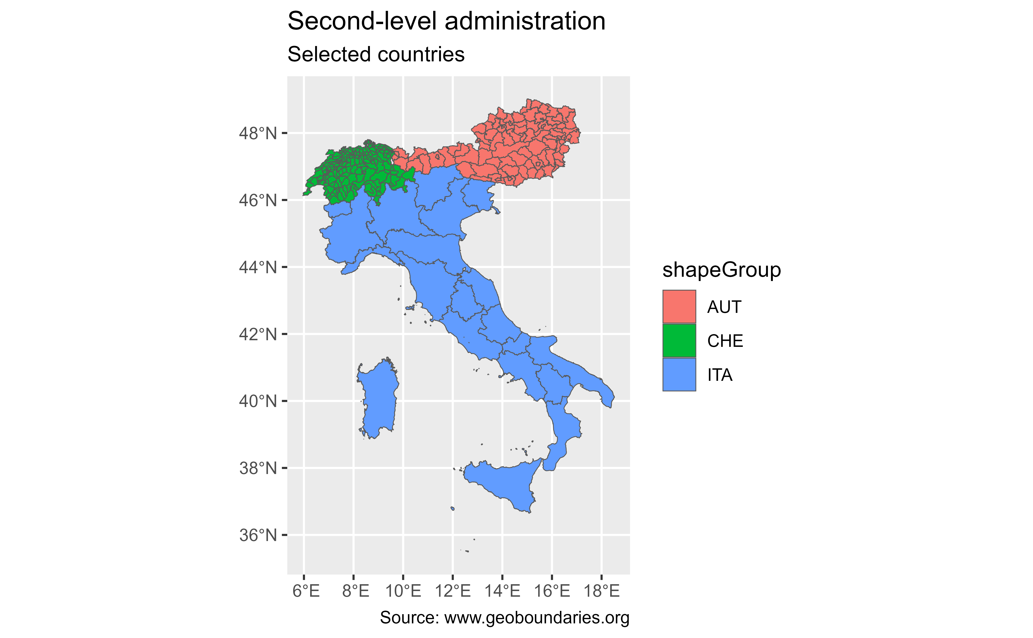
# \donttest{
lev2 <- gb_get_adm2(
  c("Italia", "Suiza", "Austria"),
  simplified = TRUE
)

library(ggplot2)

ggplot(lev2) +
  geom_sf(aes(fill = shapeGroup)) +
  labs(
    title = "Second-level administrative boundaries",
    subtitle = "Selected countries",
    caption = paste(
      "Sources: geoBoundaries and the original boundary providers,",
      "check gb_get_metadata() for licenses"
    )
  )

# }
# }