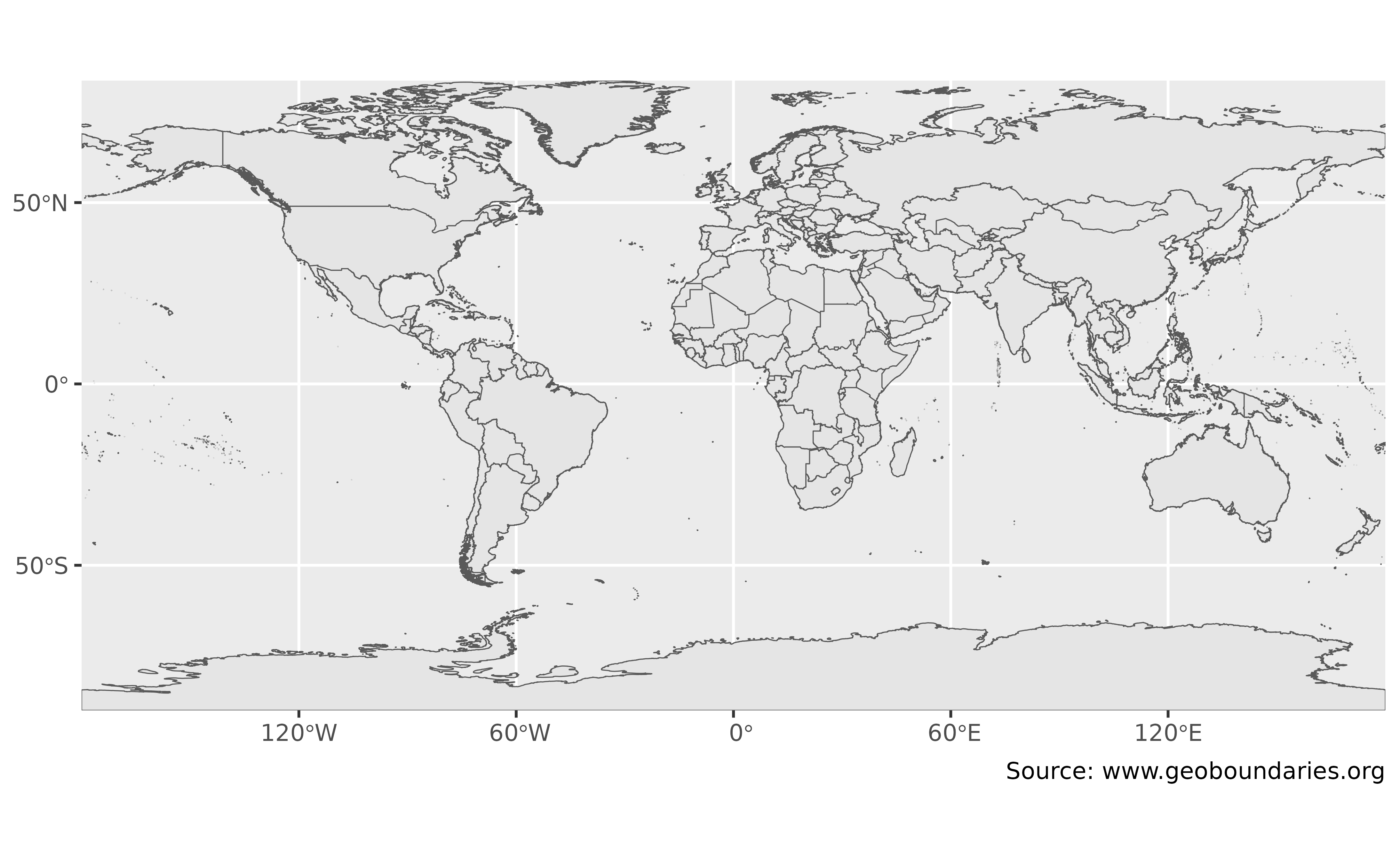
Returns global composite boundaries for the requested ADM level. Boundaries are clipped to international borders, with gaps between borders filled.
CGAZ boundaries are not covered by the package's MIT license. Attribution is required when sharing the boundaries or derived products.
Usage
gb_get_world(
  country = "all",
  adm_lvl = "adm0",
  quiet = TRUE,
  overwrite = FALSE,
  cache_dir = NULL
)Arguments
- country
A character vector of country names or ISO 3166-1 alpha-3 country codes. Use
"all"to return boundaries for all countries. See alsocountrycode::countrycode()from countrycode.- adm_lvl
ADM level. Accepted values are levels 0, 1 and 2 (
"adm0"is the country boundary,"adm1"is the first level of subnational boundaries and"adm2"is the second level). Uppercase versions ("ADM1") and level numbers (0,1,2) are also accepted.- quiet
A logical value. If
TRUE, suppress informational messages.- overwrite
A logical value. If
TRUE, force a fresh download of the source.ziparchive.- cache_dir
A path to a cache directory. If not set (the default
NULL), boundary archives are stored in the default cache directory (seegb_set_cache_dir()). If no cache directory has been set, archives are stored in a temporary cache directory. Seebase::tempdir()and the cache strategies ingb_set_cache_dir().
Value
An sf object from sf containing the requested
boundaries. If no boundaries match the request, the function returns
NULL.
Details
Comprehensive Global Administrative Zones (CGAZ) are global composites for administrative boundaries. Compared with individual country boundaries, global composite boundaries use extensive simplification so file sizes are small enough for most desktop software. They remove disputed areas, replace them with polygons following United States Department of State definitions and fill gaps between borders.
Follow the citation and use information included in the downloaded CGAZ archive. CGAZ and figures derived from it are not relicensed under the package's MIT license.
References
Runfola et al. (2020) "geoBoundaries: A global database of political administrative boundaries." PLOS ONE, 15(4), 1–9. doi:10.1371/journal.pone.0231866 .
See also
gb_get_metadata()inspects boundary metadata and licensing.gb_get_max_adm_lvl()checks the ADM levels available for individual country boundaries.
Boundary download functions:
gb_get(),
gb_get_adm