Skip to contents

This page shows a lightbox gallery of maps created with the gradient fill scales included in tidyterra. A basic example for creating similar maps is:
library(tidyterra)
library(terra)
library(ggplot2)

r <- rast(system.file("extdata/volcano2.tif", package = "tidyterra"))

ggplot() +
  geom_spatraster(data = r) +
  # Use the selected palette.
  scale_fill_hypso_c() +
  theme_void()

scale_fill_terrain_* and scale_fill_wiki_*

See scale_fill_terrain_c() and scale_fill_wiki_c() for details.
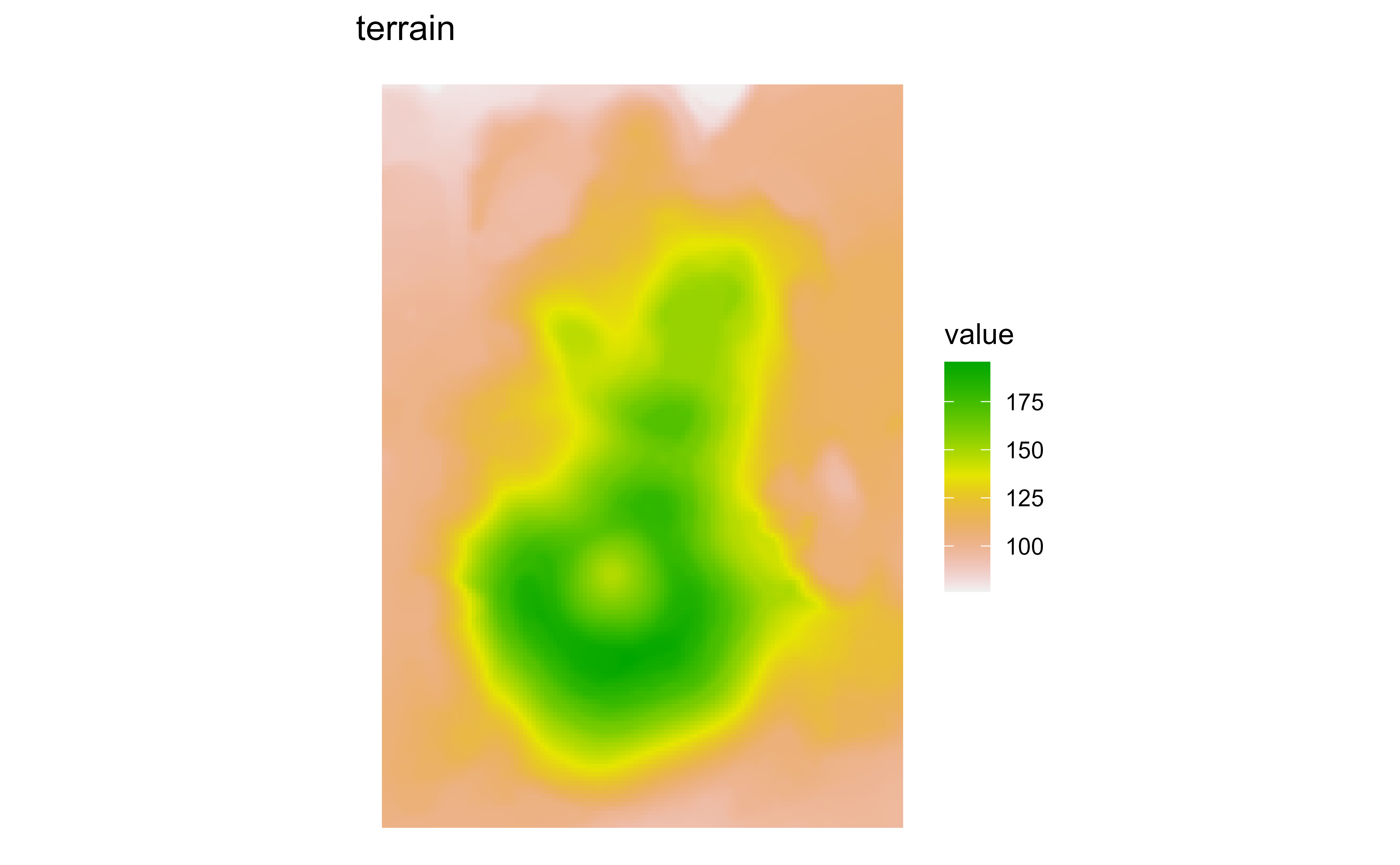
Raster map of volcanic elevation using the terrain gradient. Fill color encodes elevation across the volcanic terrain.

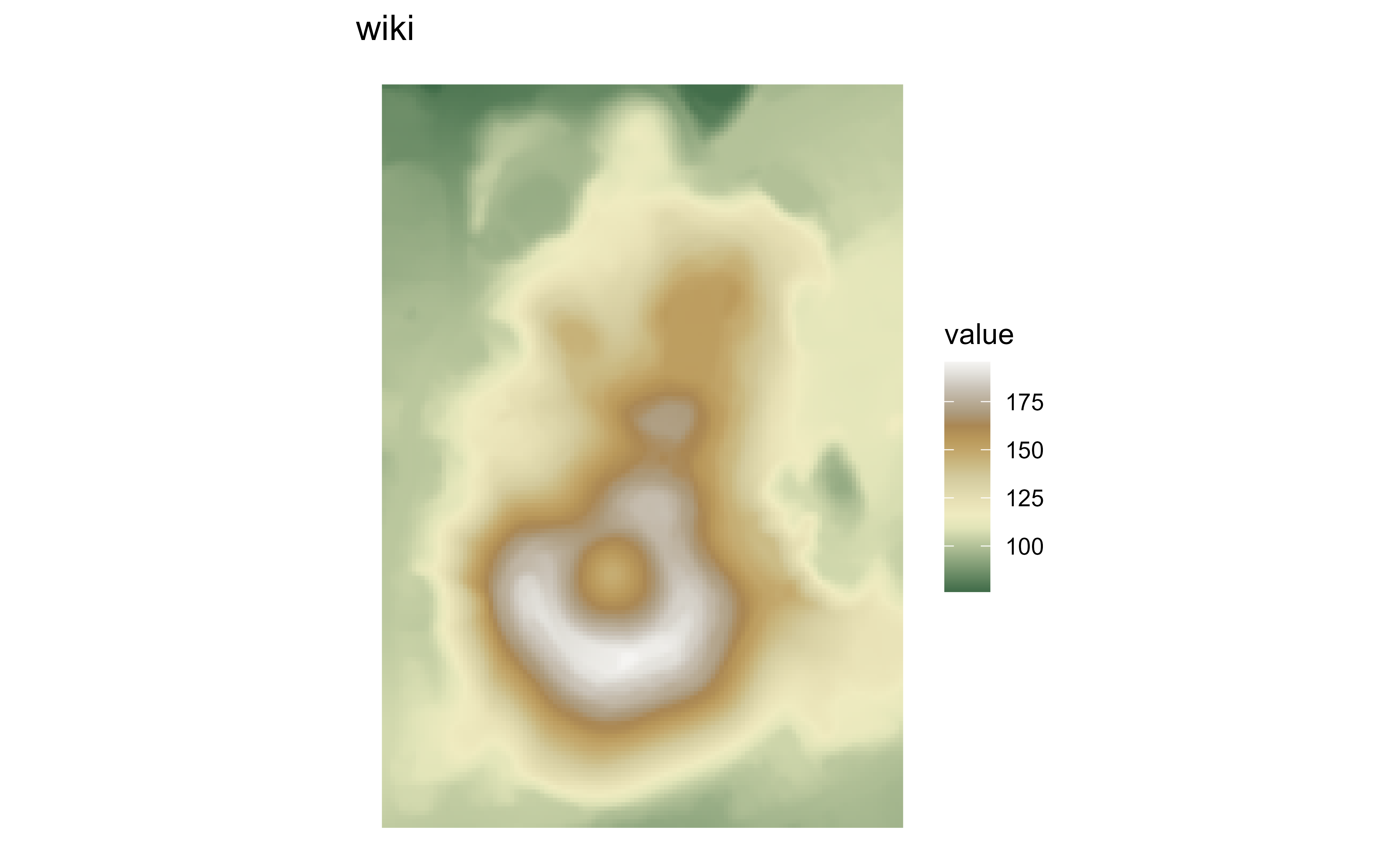
Raster map of volcanic elevation using the wiki gradient. Fill color encodes elevation across the volcanic terrain.

scale_fill_whitebox_*

See scale_fill_whitebox_c() for details.

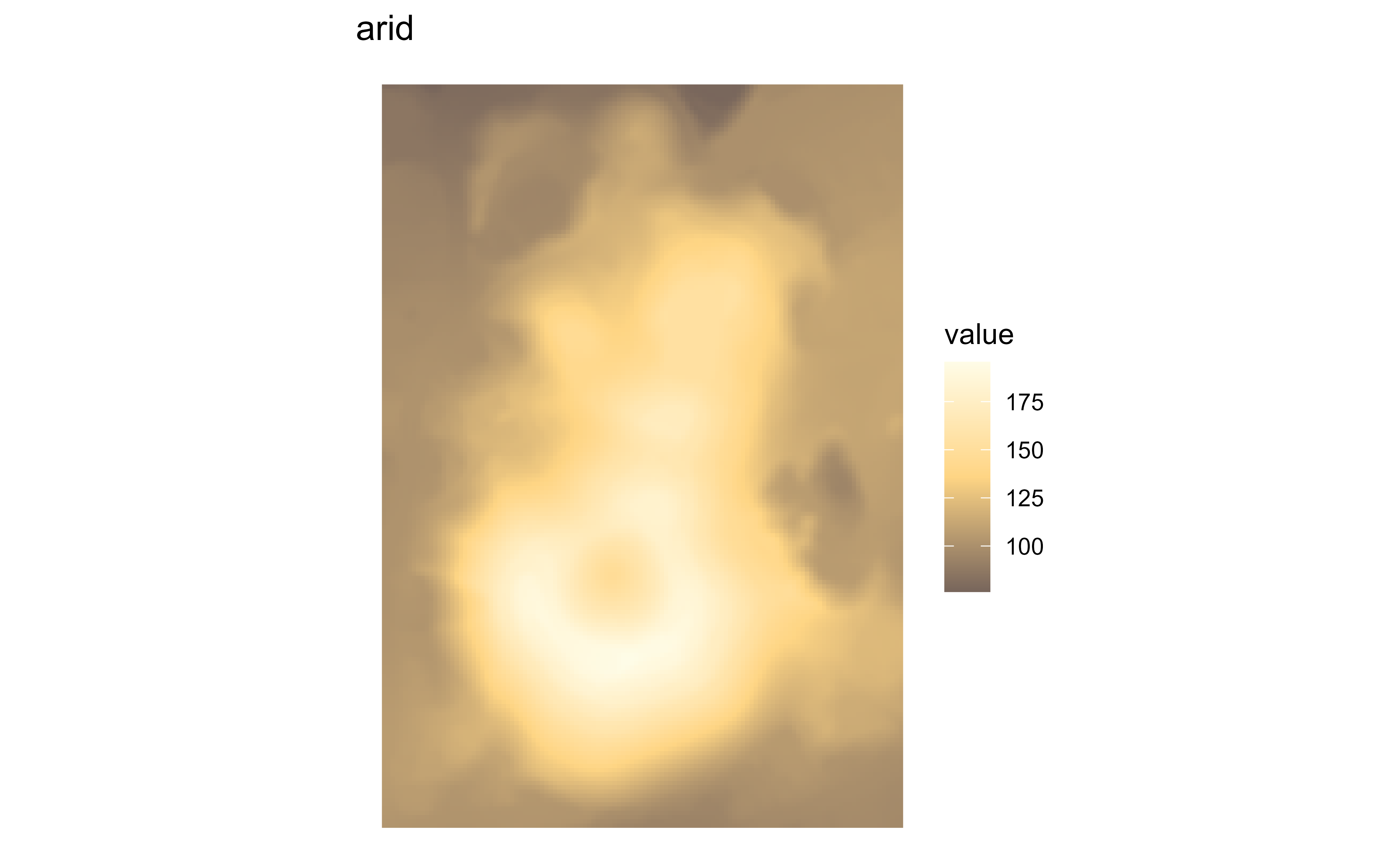
Raster map of volcanic elevation using the Whitebox arid palette. Fill color encodes elevation across the volcanic terrain.

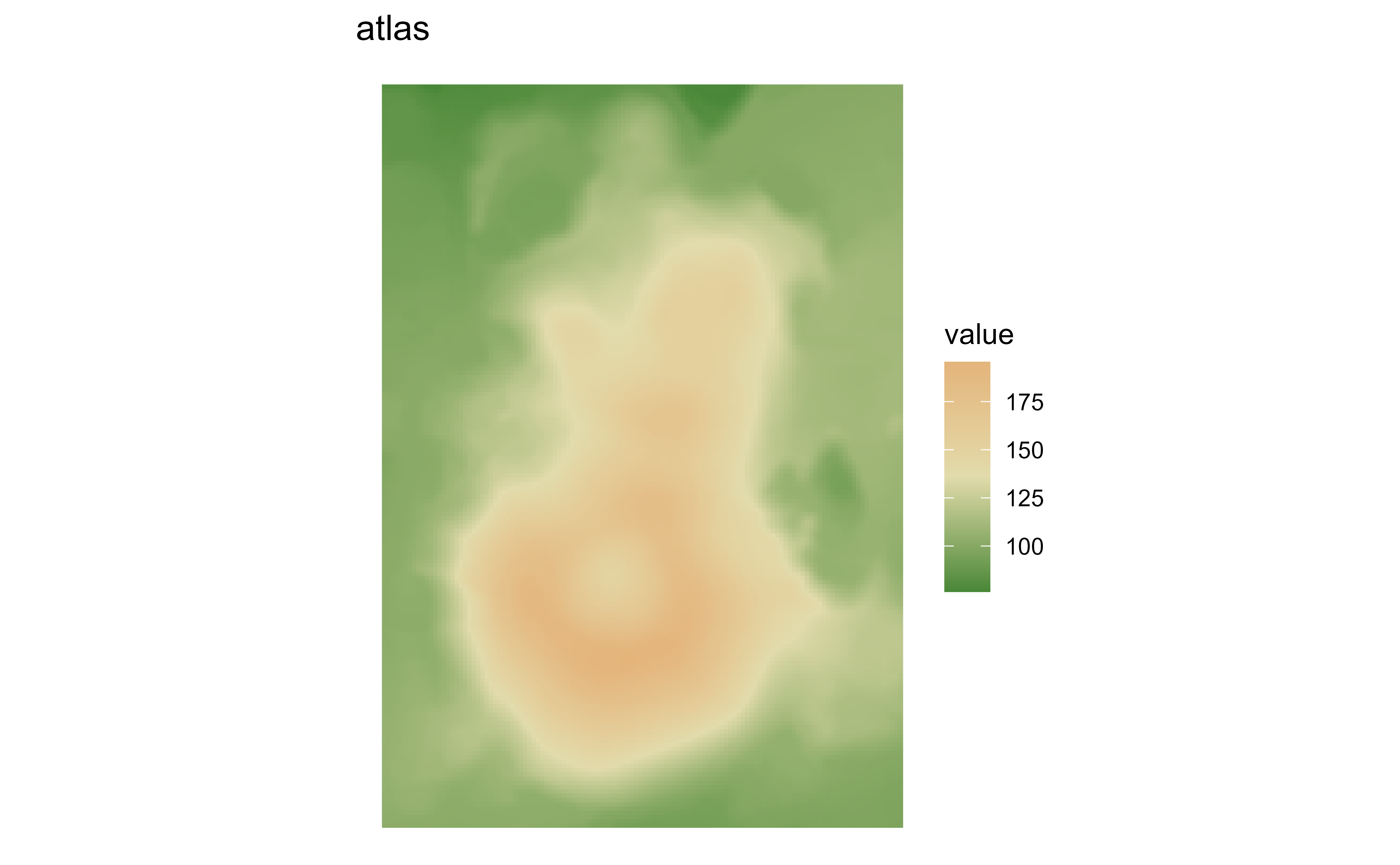
Raster map of volcanic elevation using the Whitebox atlas palette. Fill color encodes elevation across the volcanic terrain.

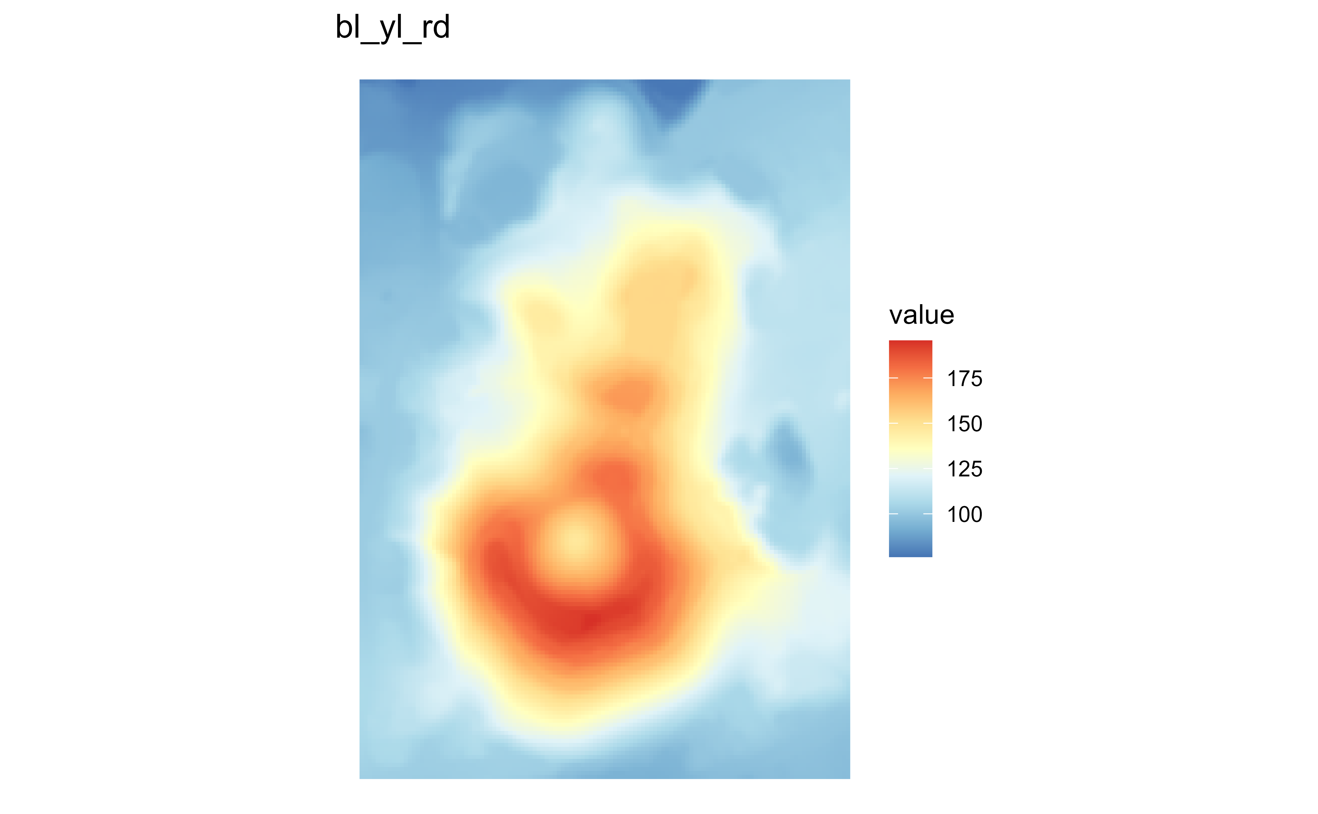
Raster map of volcanic elevation using the Whitebox bl_yl_rd palette. Fill color encodes elevation across the volcanic terrain.

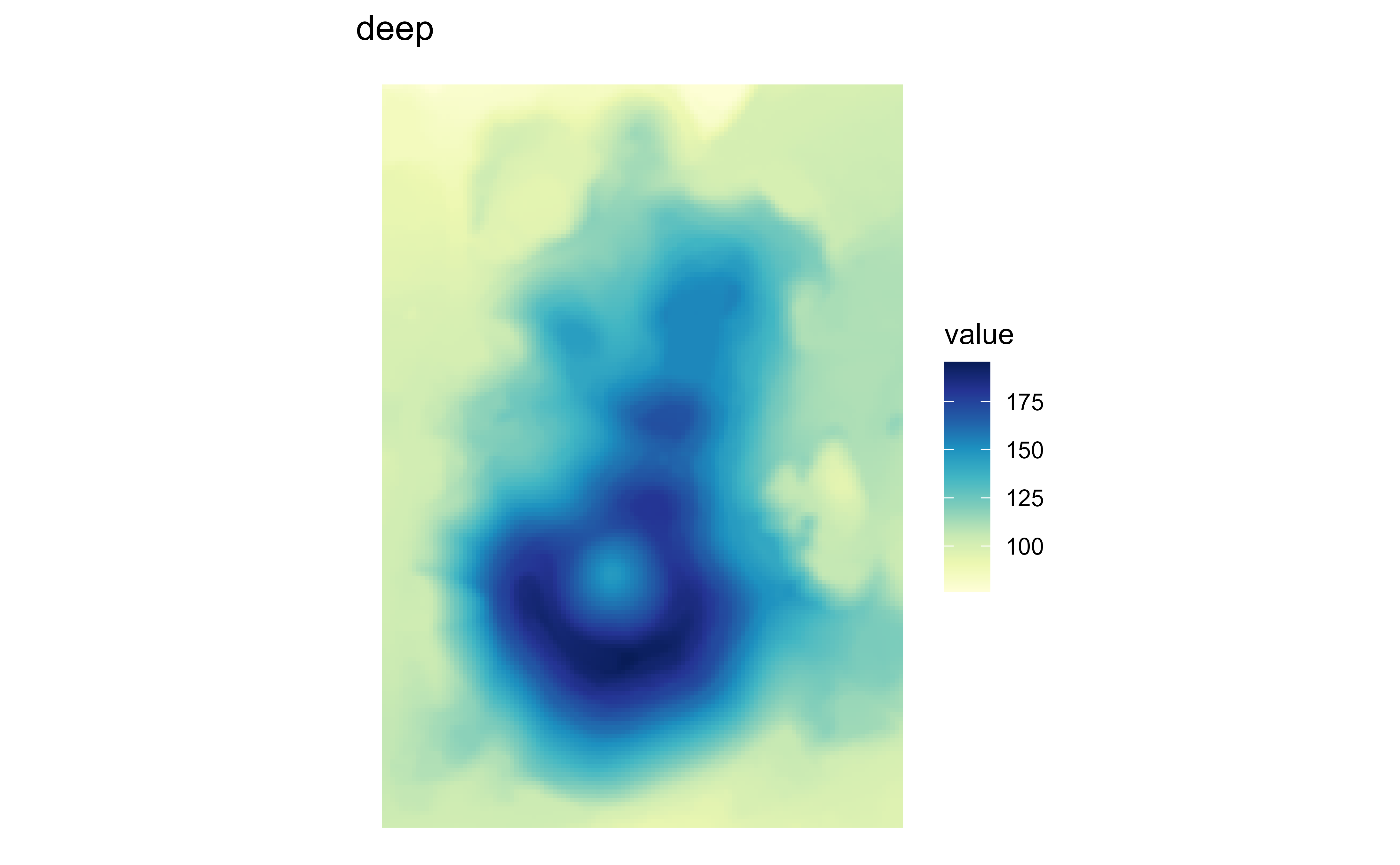
Raster map of volcanic elevation using the Whitebox deep palette. Fill color encodes elevation across the volcanic terrain.

Raster map of volcanic elevation using the Whitebox gn_yl palette. Fill color encodes elevation across the volcanic terrain.

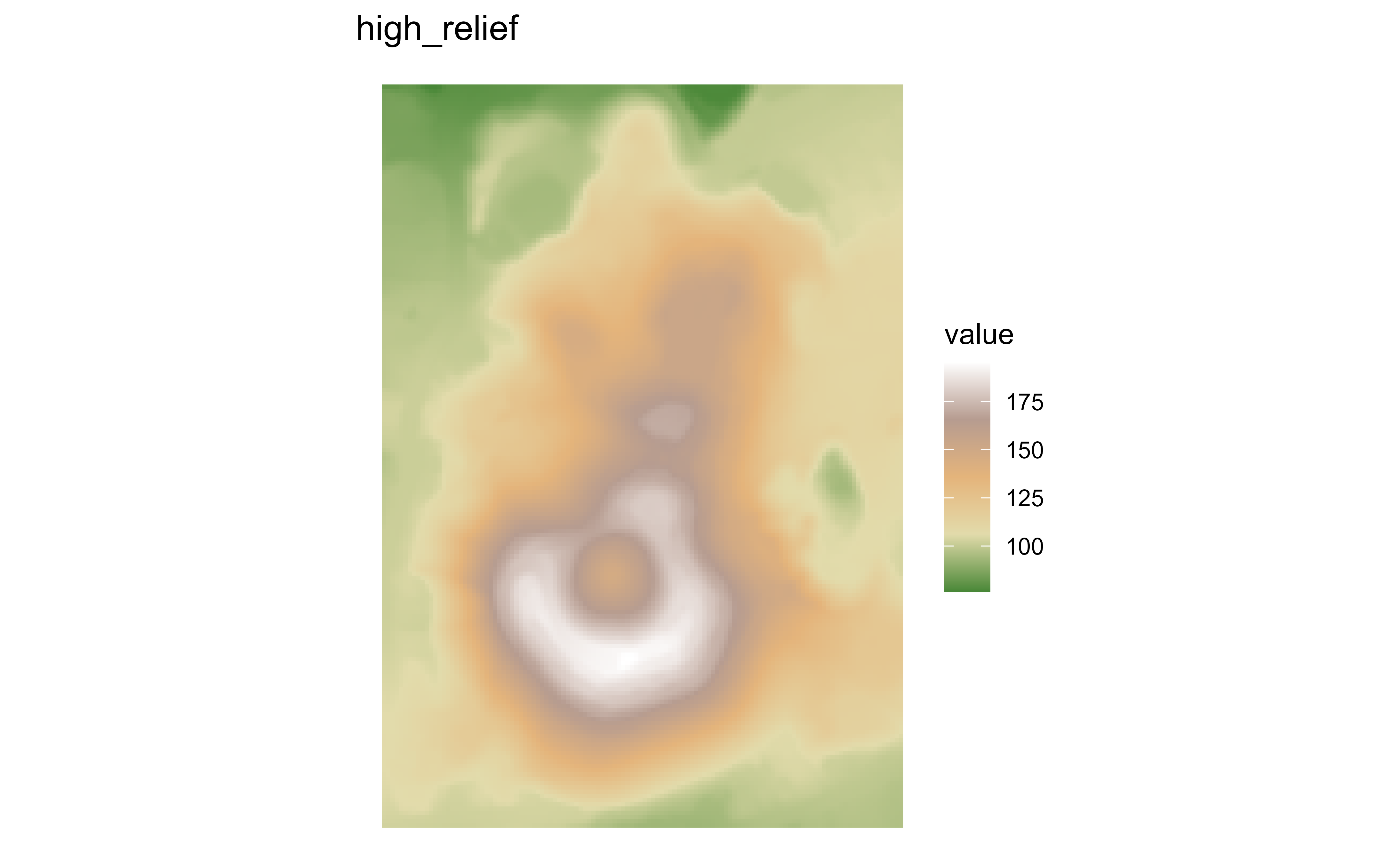
Raster map of volcanic elevation using the Whitebox high_relief palette. Fill color encodes elevation across the volcanic terrain.

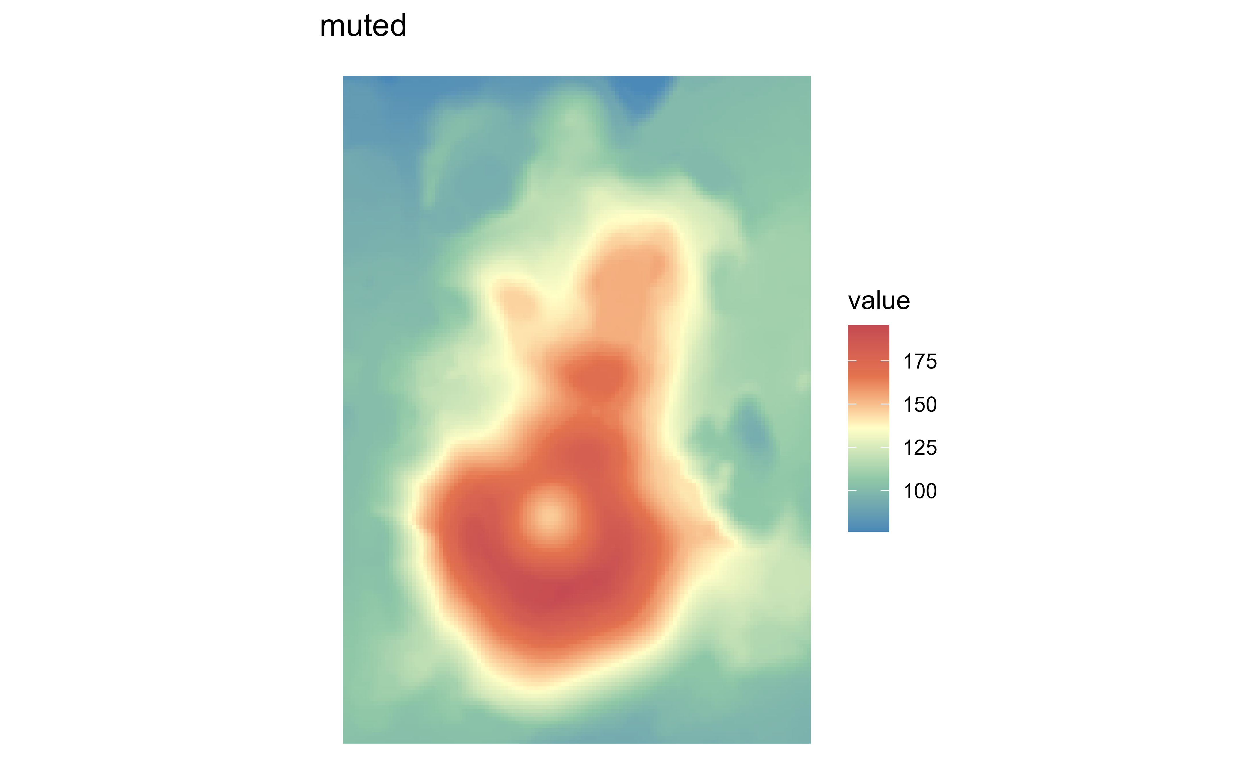
Raster map of volcanic elevation using the Whitebox muted palette. Fill color encodes elevation across the volcanic terrain.

Raster map of volcanic elevation using the Whitebox pi_y_g palette. Fill color encodes elevation across the volcanic terrain.

Raster map of volcanic elevation using the Whitebox purple palette. Fill color encodes elevation across the volcanic terrain.

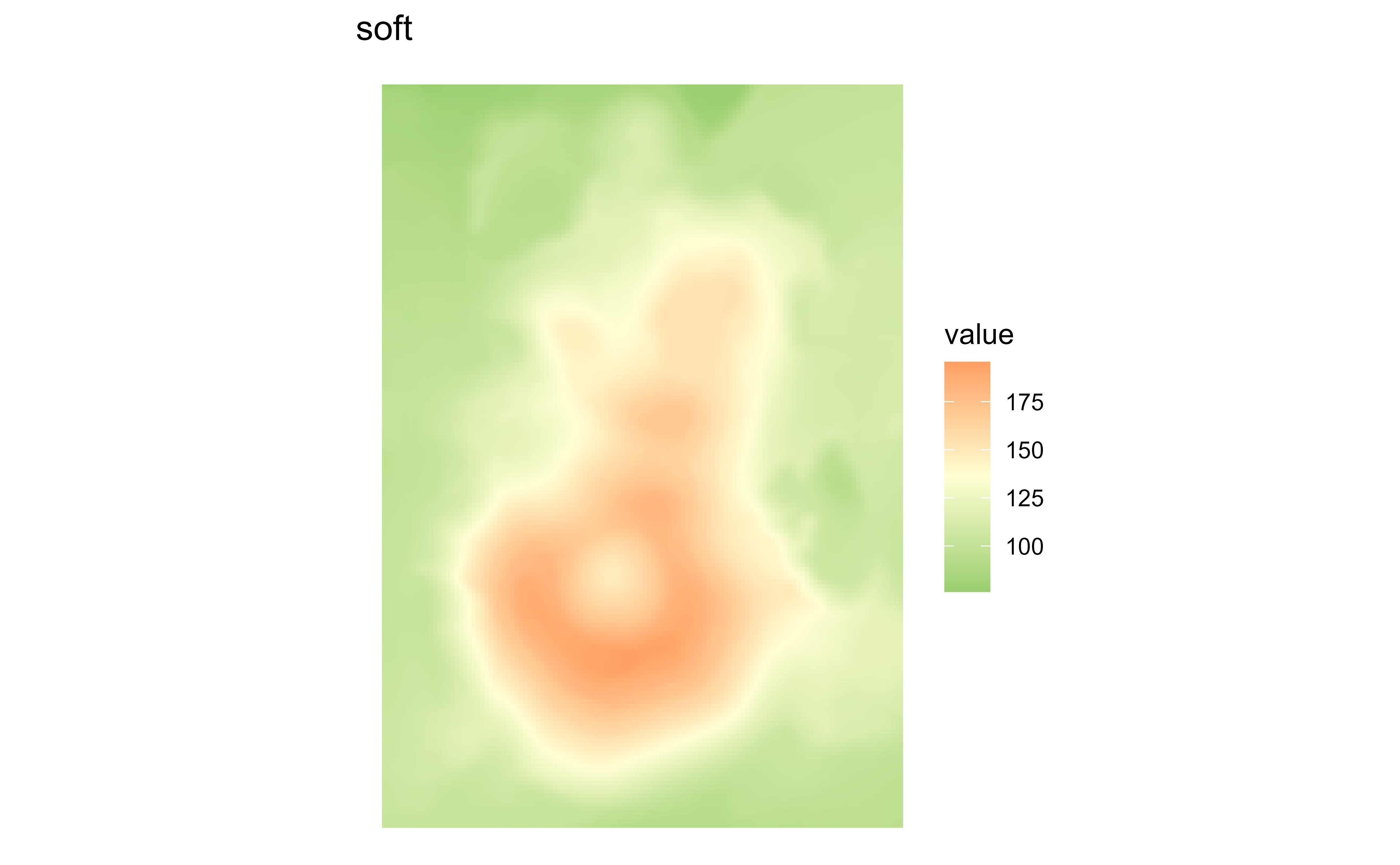
Raster map of volcanic elevation using the Whitebox soft palette. Fill color encodes elevation across the volcanic terrain.

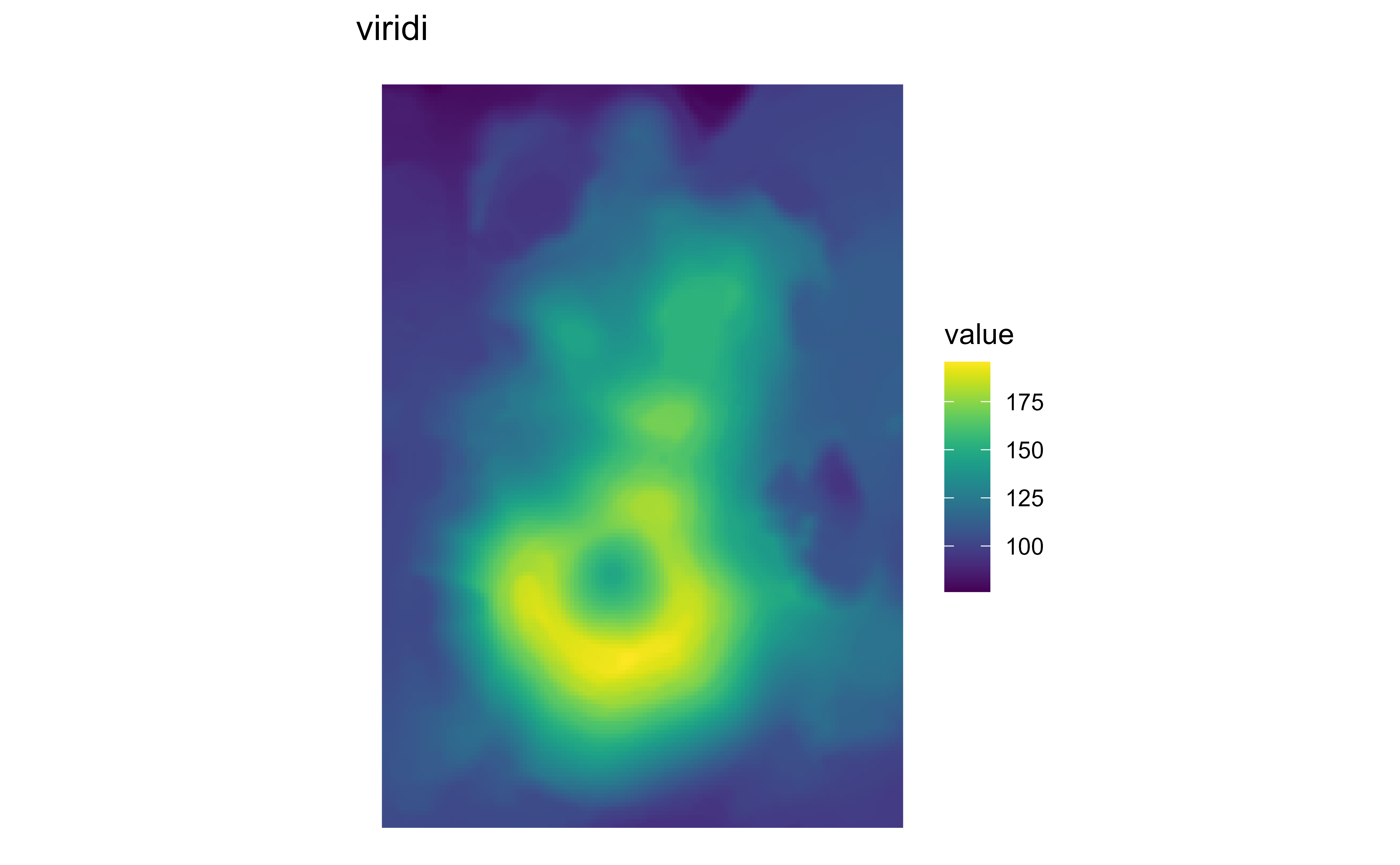
Raster map of volcanic elevation using the Whitebox viridi palette. Fill color encodes elevation across the volcanic terrain.

scale_fill_hypso_*

See scale_fill_hypso_c() for details.

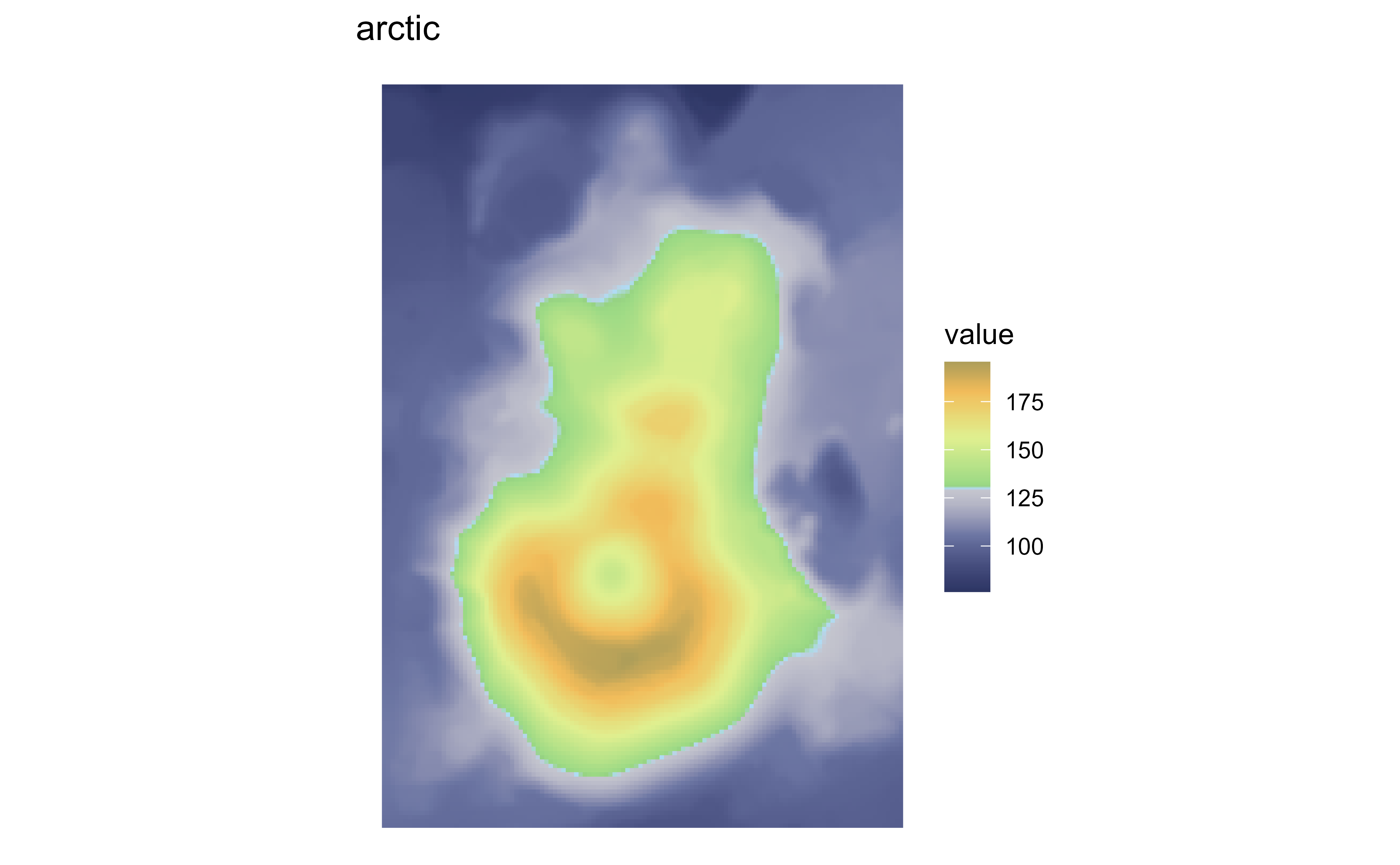
Raster map of volcanic elevation using the hypsometric arctic palette. Fill color encodes elevation across the volcanic terrain.

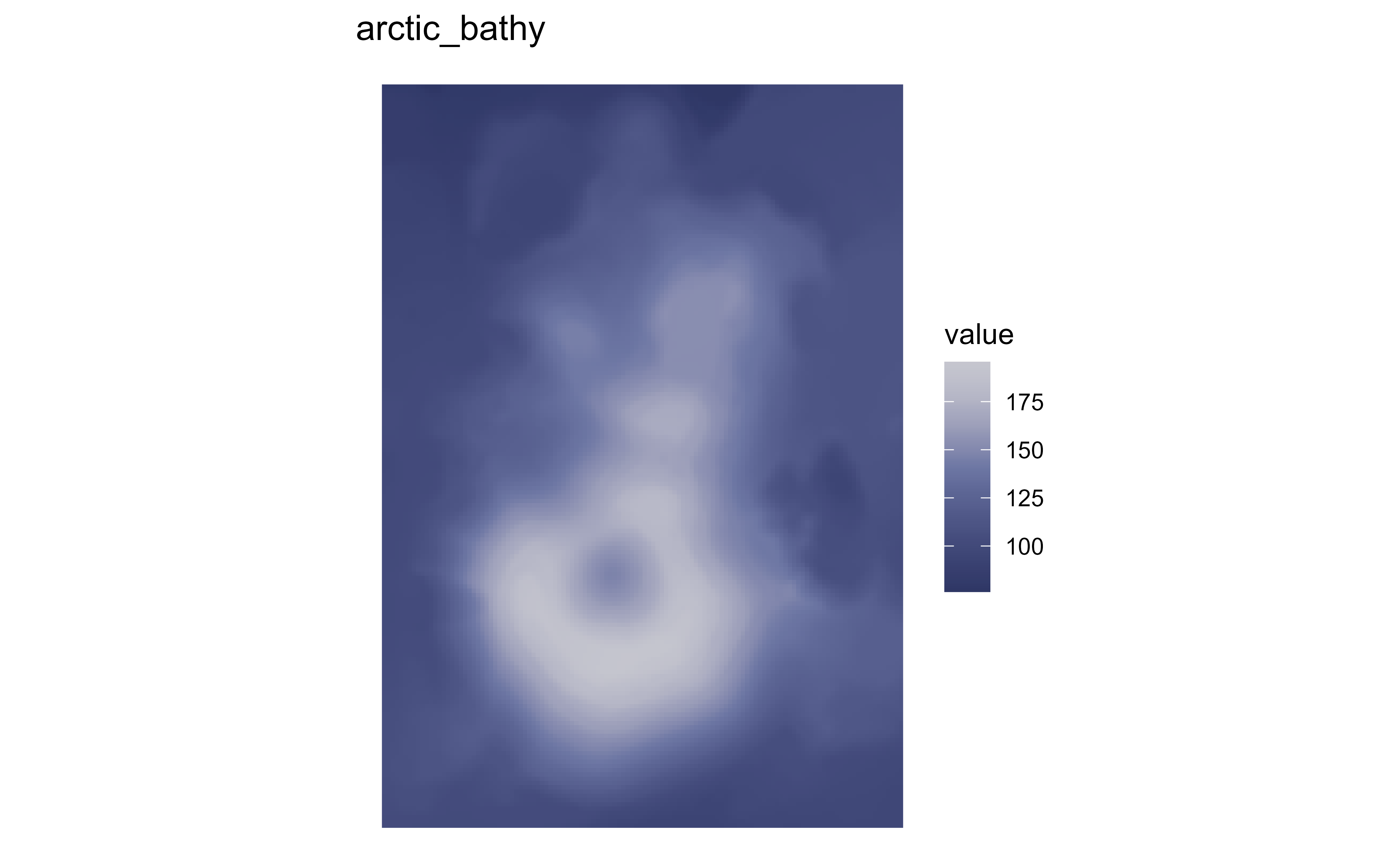
Raster map of volcanic elevation using the hypsometric arctic_bathy palette. Fill color encodes elevation across the volcanic terrain.

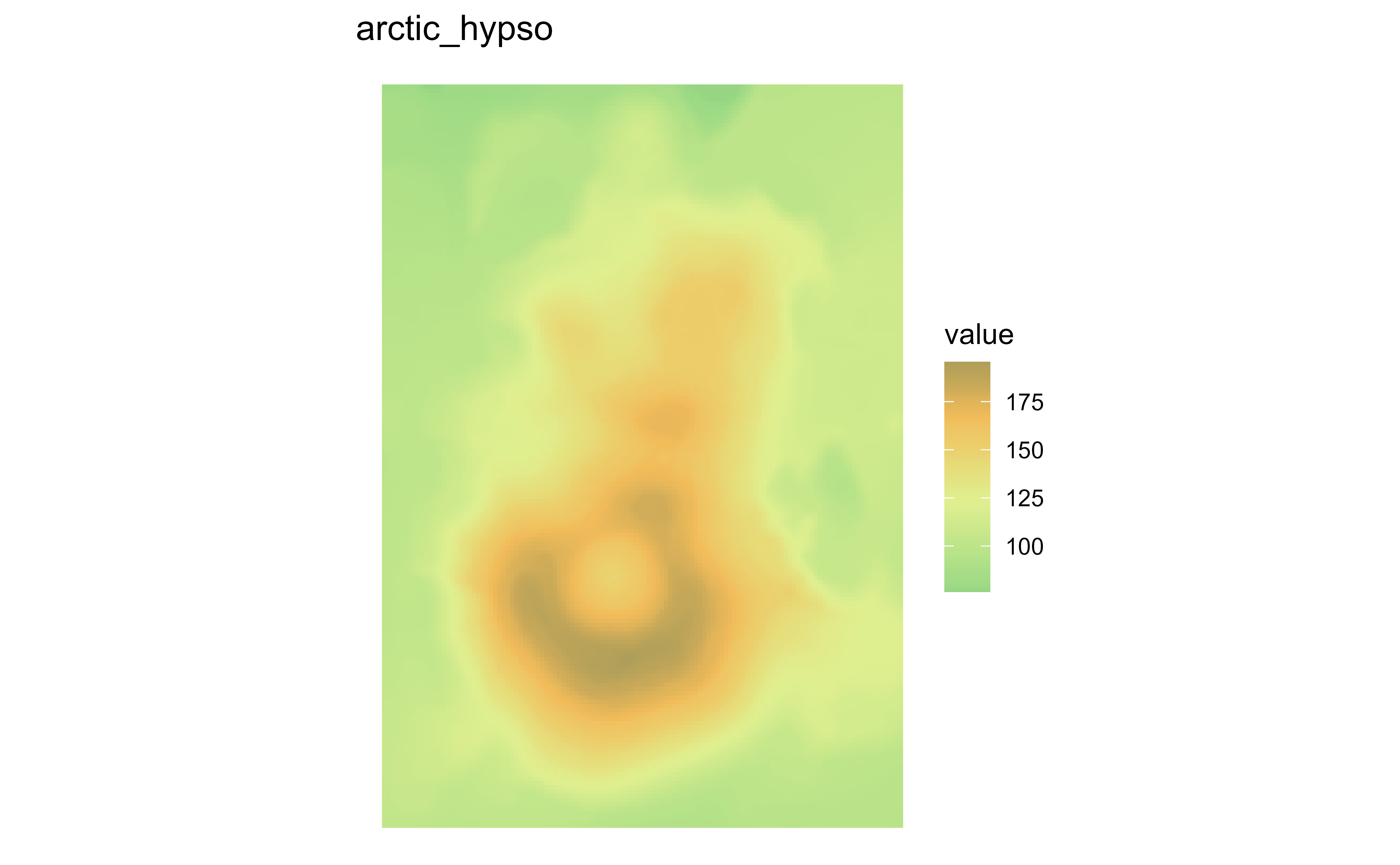
Raster map of volcanic elevation using the hypsometric arctic_hypso palette. Fill color encodes elevation across the volcanic terrain.

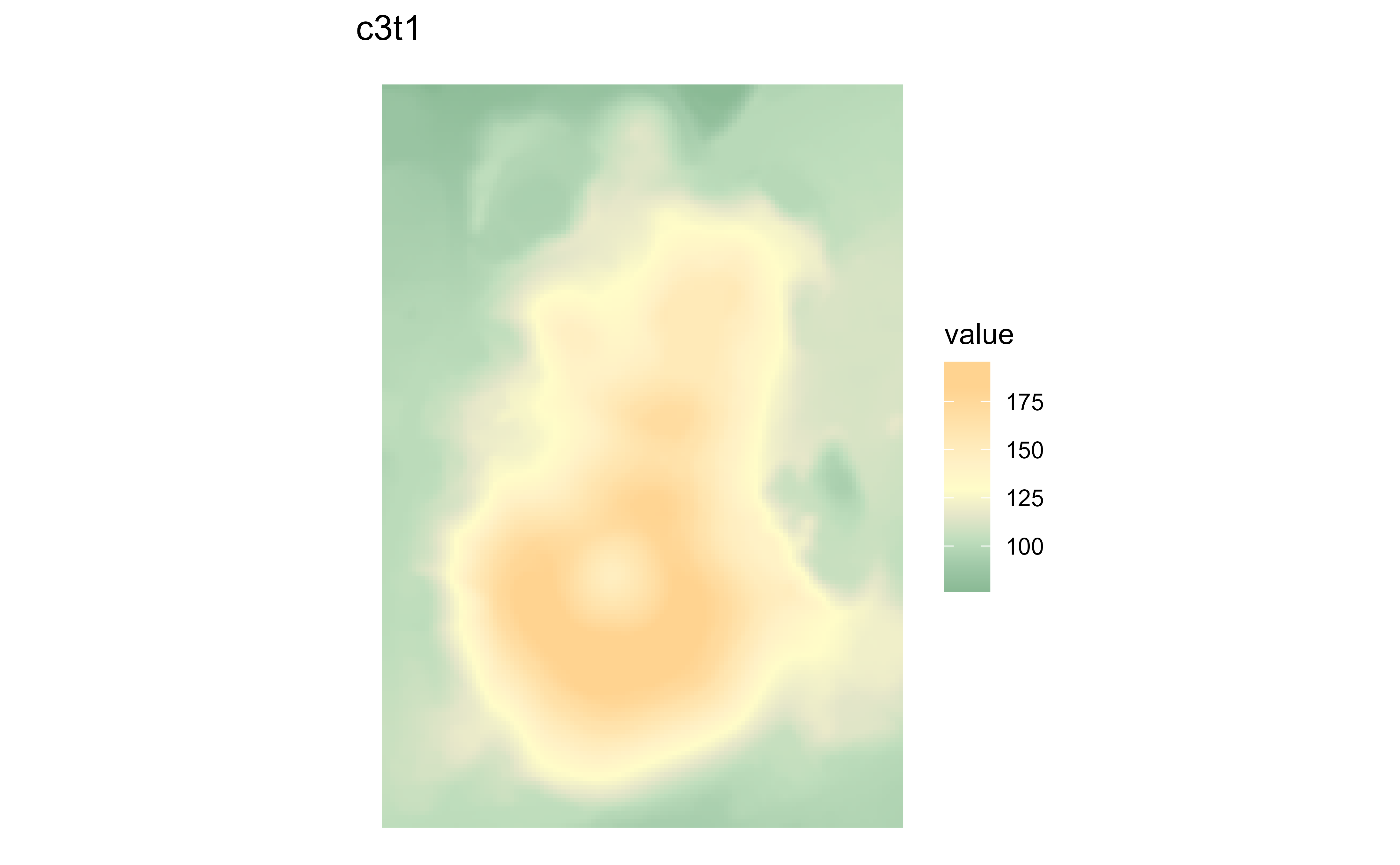
Raster map of volcanic elevation using the hypsometric c3t1 palette. Fill color encodes elevation across the volcanic terrain.

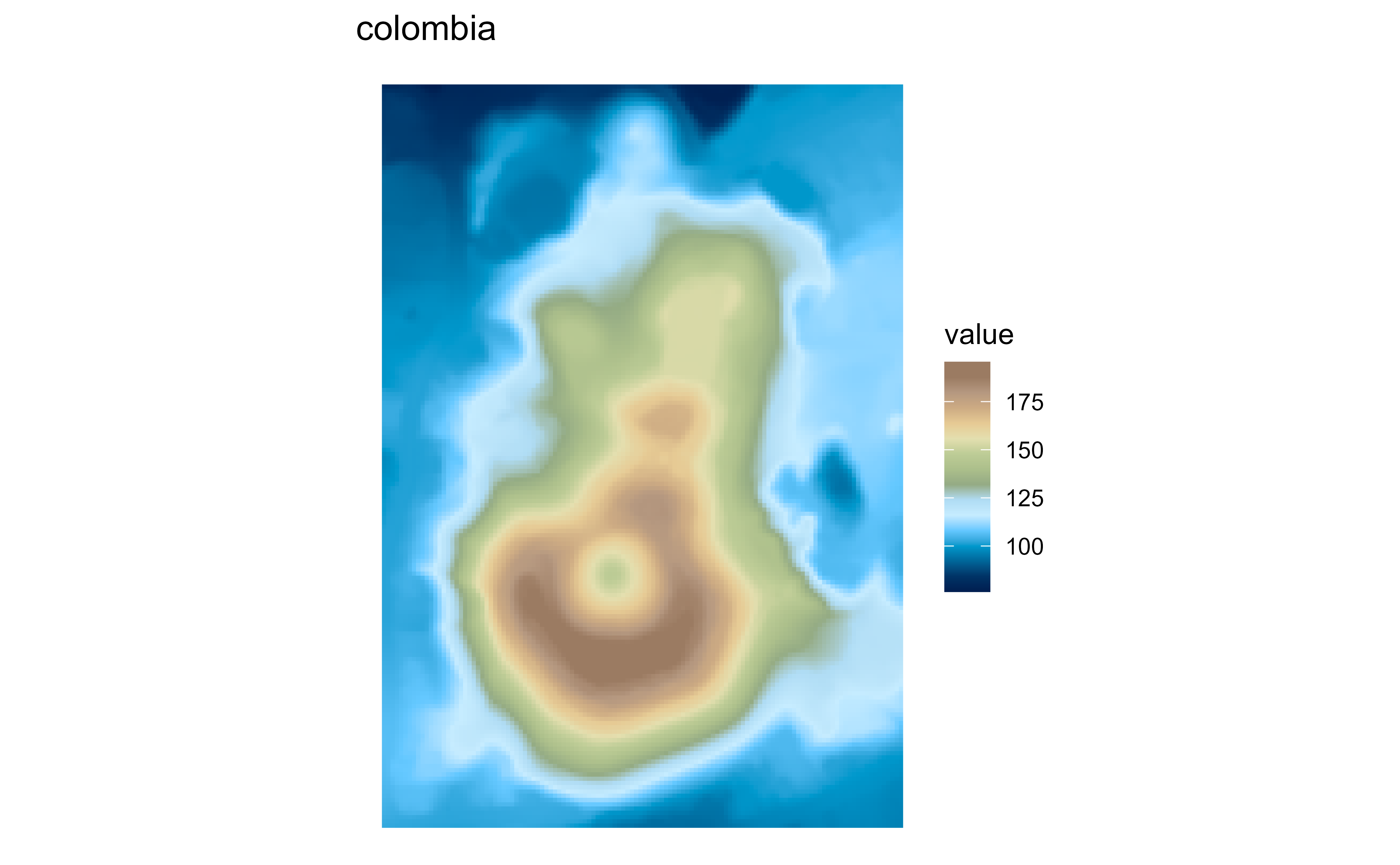
Raster map of volcanic elevation using the hypsometric colombia palette. Fill color encodes elevation across the volcanic terrain.

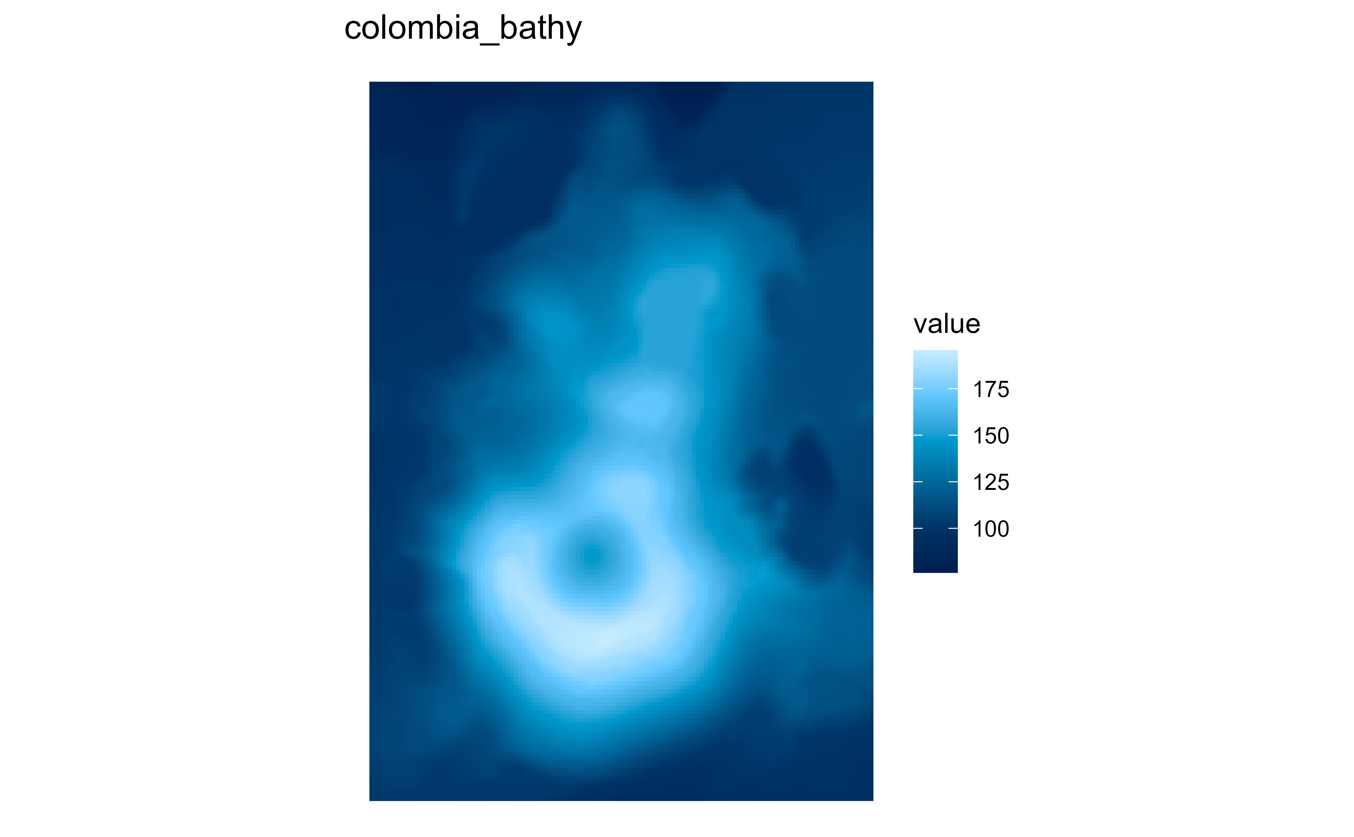
Raster map of volcanic elevation using the hypsometric colombia_bathy palette. Fill color encodes elevation across the volcanic terrain.

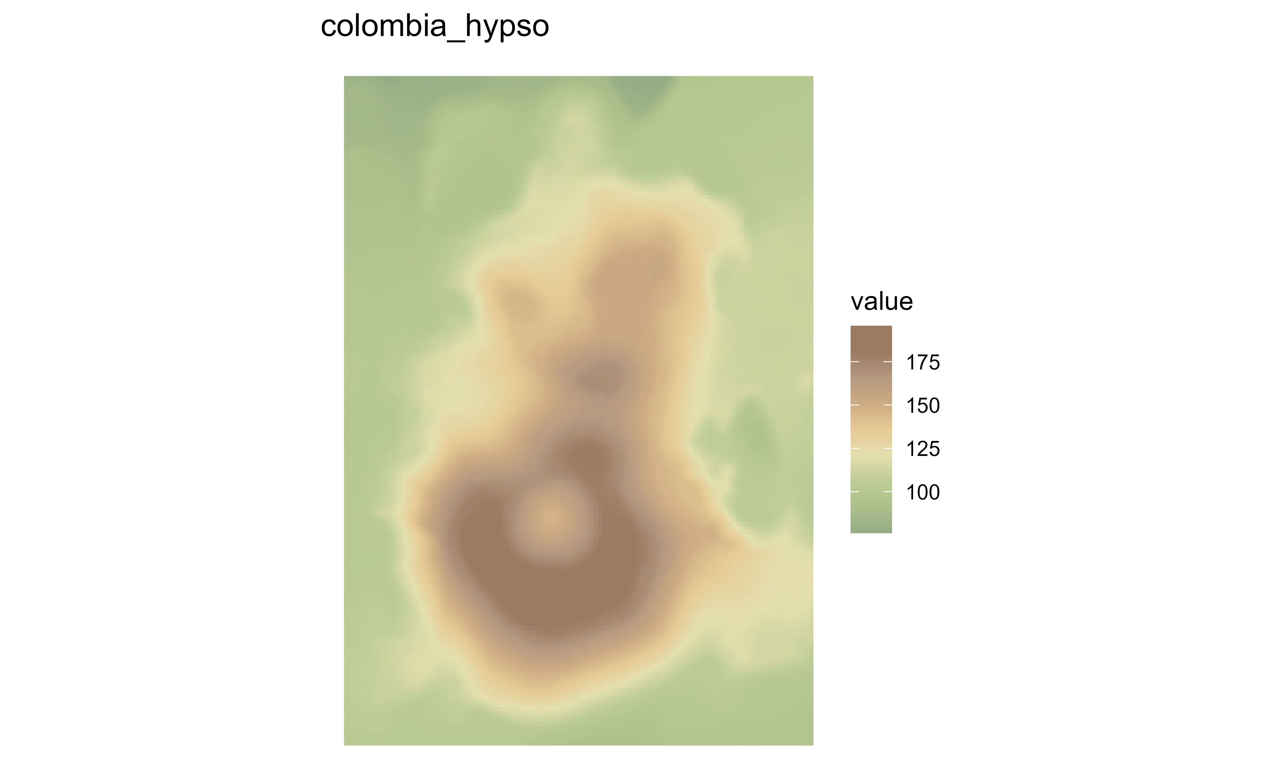
Raster map of volcanic elevation using the hypsometric colombia_hypso palette. Fill color encodes elevation across the volcanic terrain.

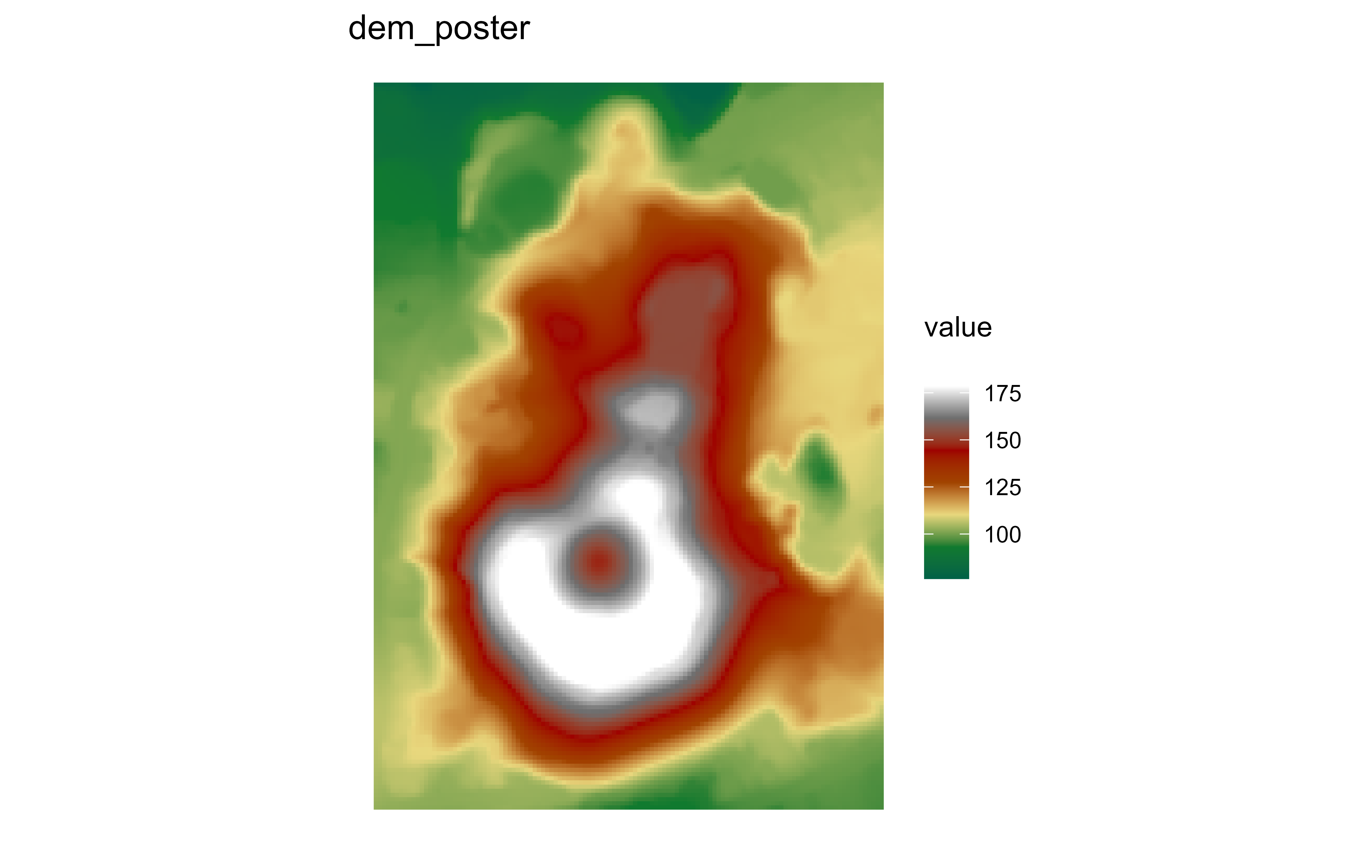
Raster map of volcanic elevation using the hypsometric dem_poster palette. Fill color encodes elevation across the volcanic terrain.

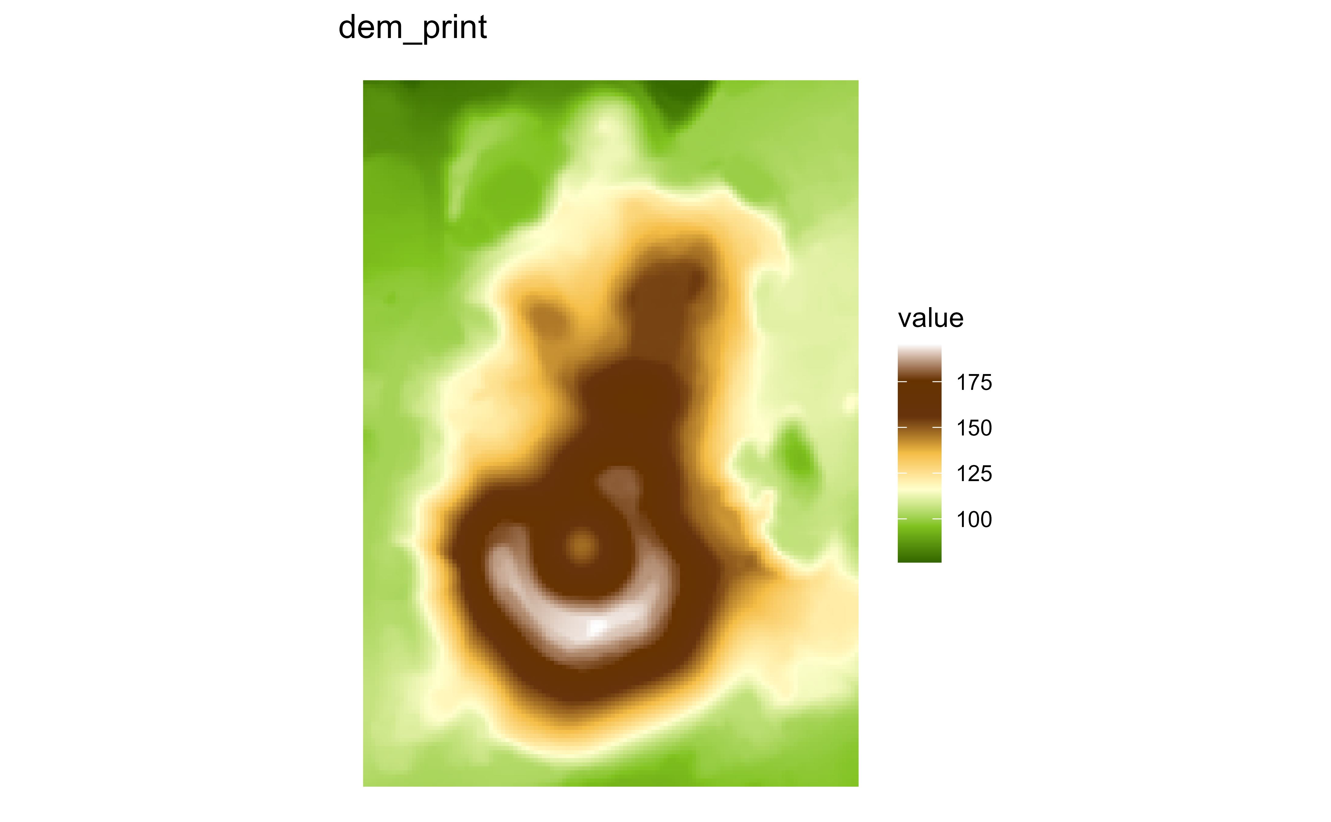
Raster map of volcanic elevation using the hypsometric dem_print palette. Fill color encodes elevation across the volcanic terrain.

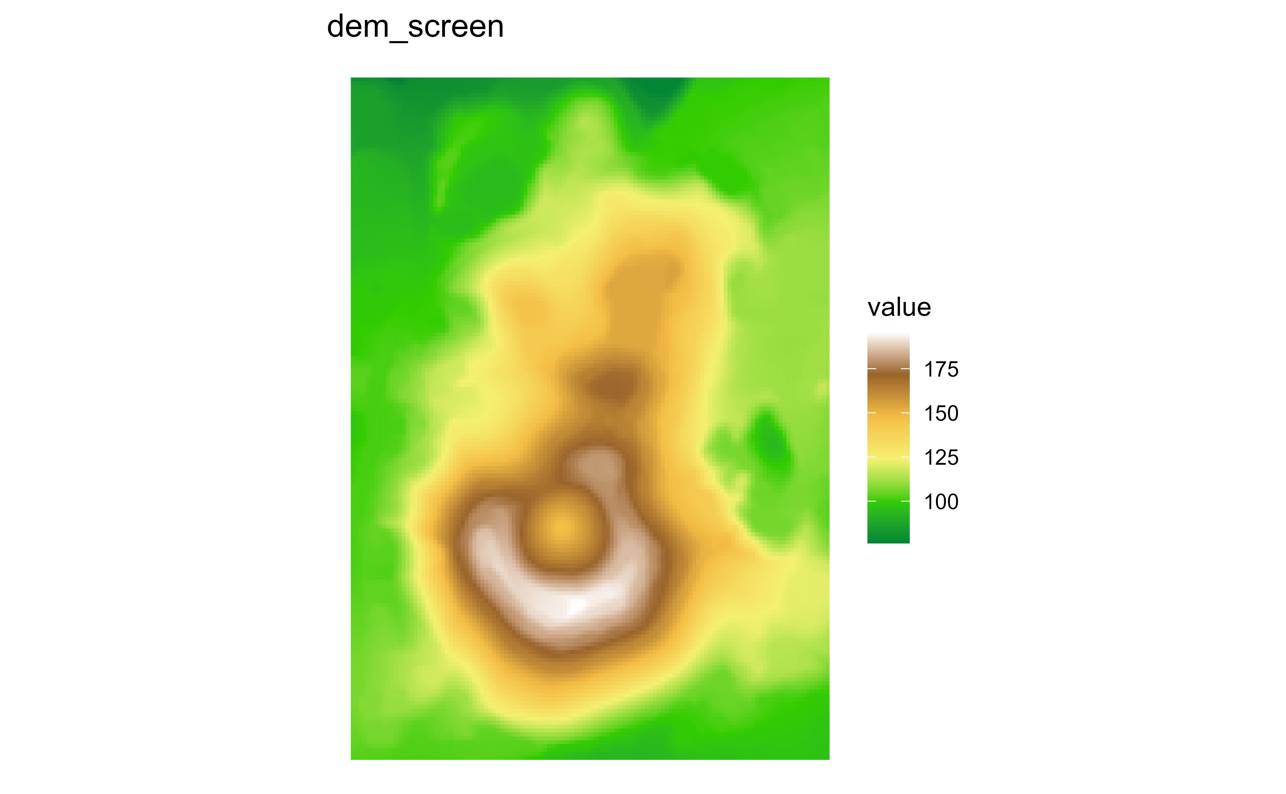
Raster map of volcanic elevation using the hypsometric dem_screen palette. Fill color encodes elevation across the volcanic terrain.

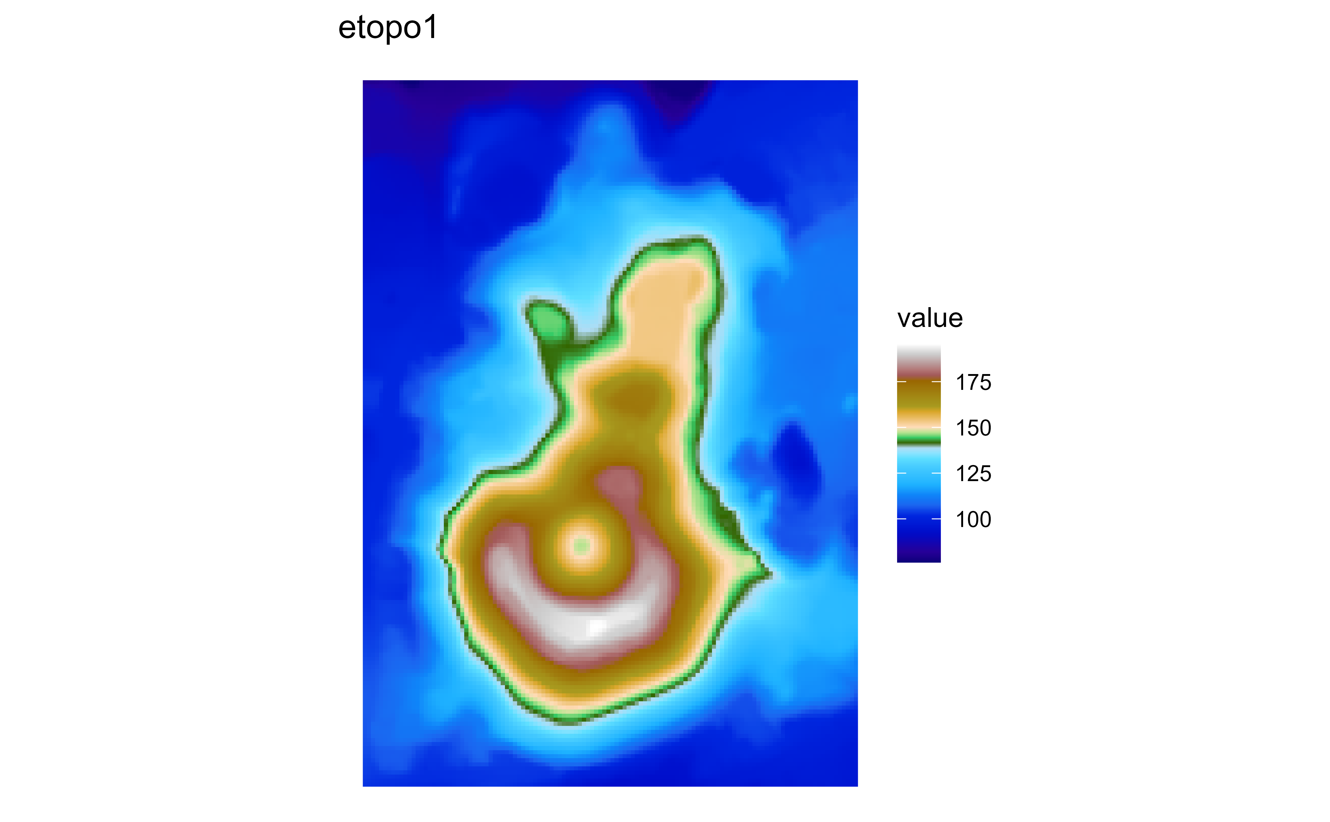
Raster map of volcanic elevation using the hypsometric etopo1 palette. Fill color encodes elevation across the volcanic terrain.

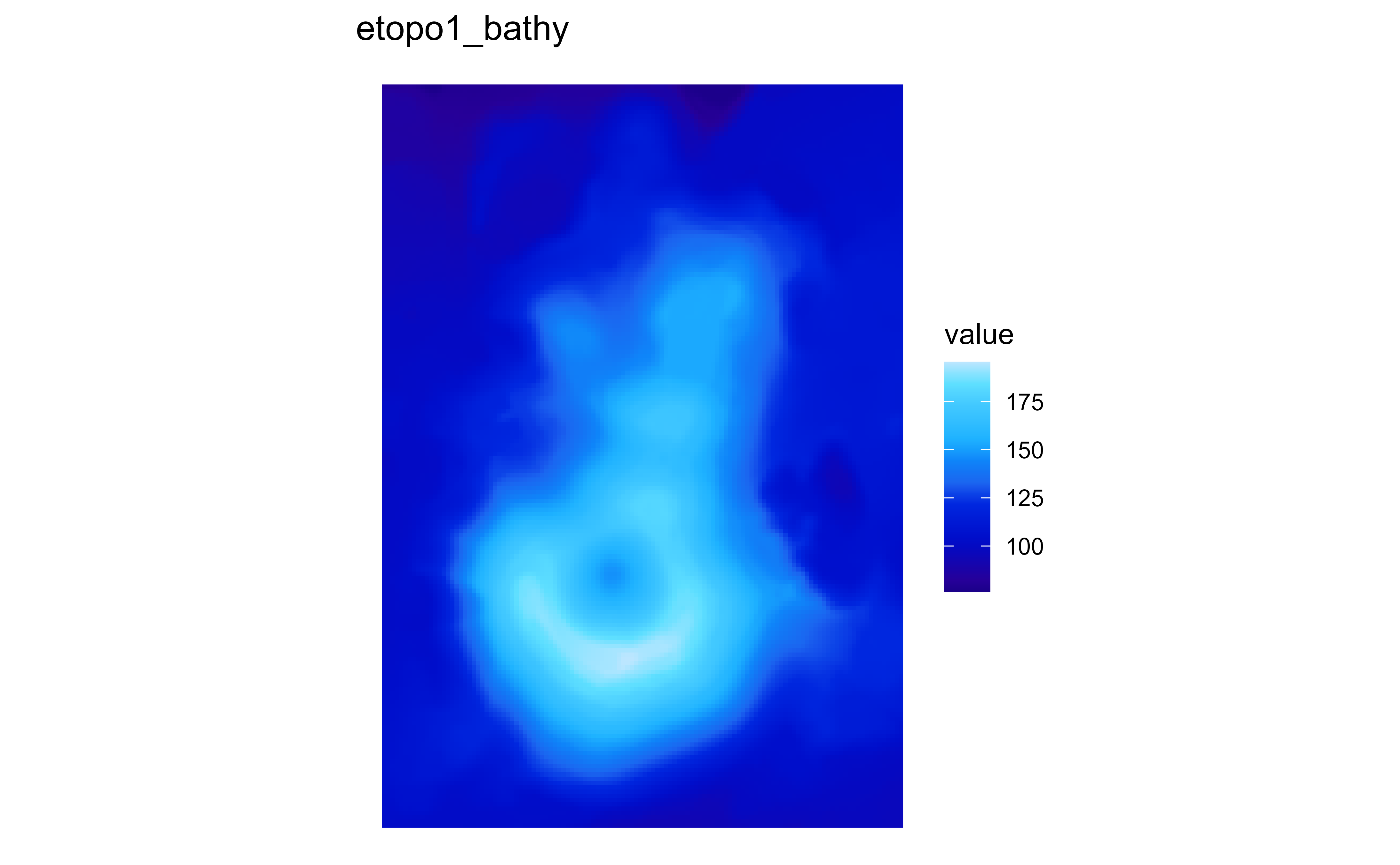
Raster map of volcanic elevation using the hypsometric etopo1_bathy palette. Fill color encodes elevation across the volcanic terrain.

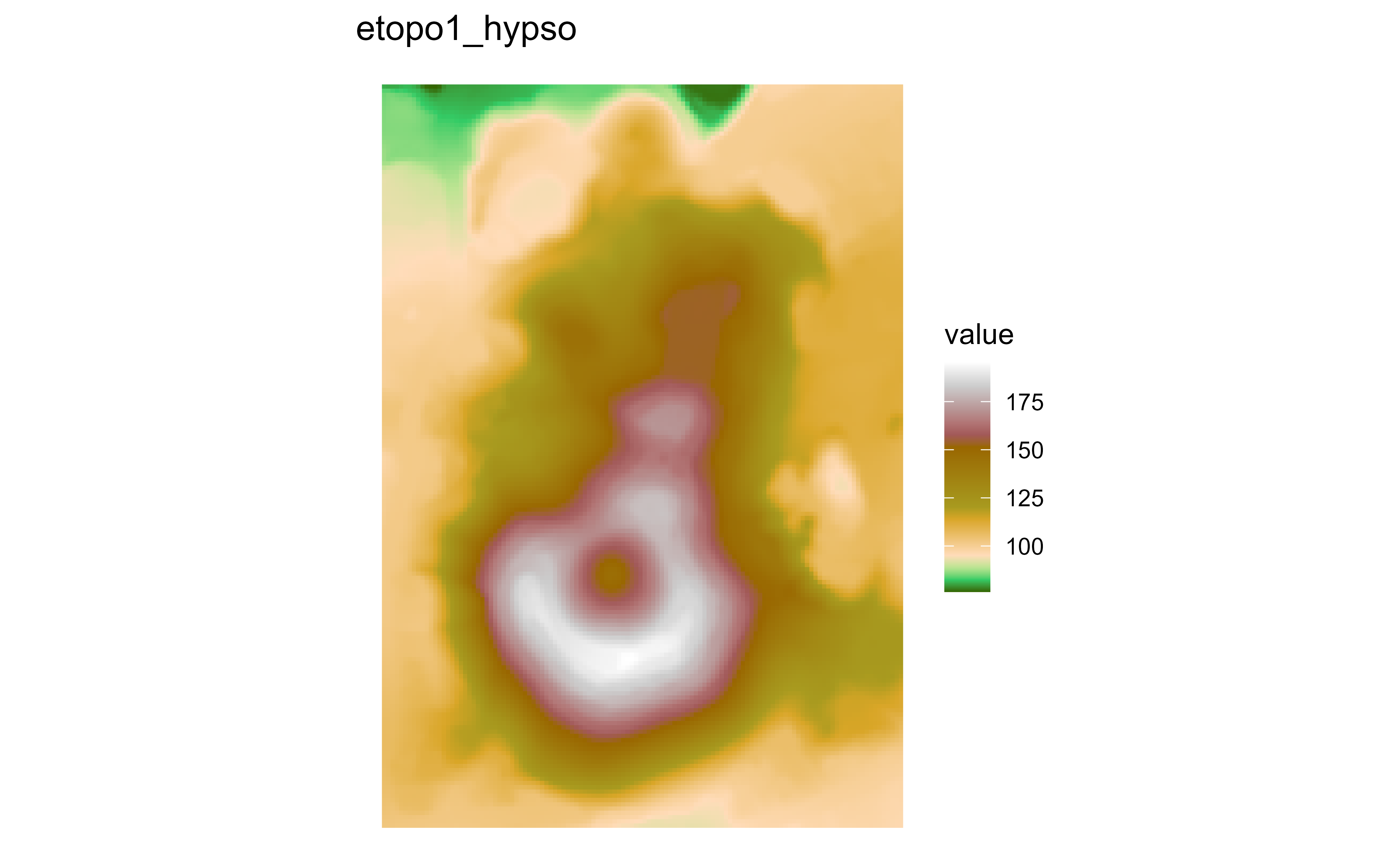
Raster map of volcanic elevation using the hypsometric etopo1_hypso palette. Fill color encodes elevation across the volcanic terrain.

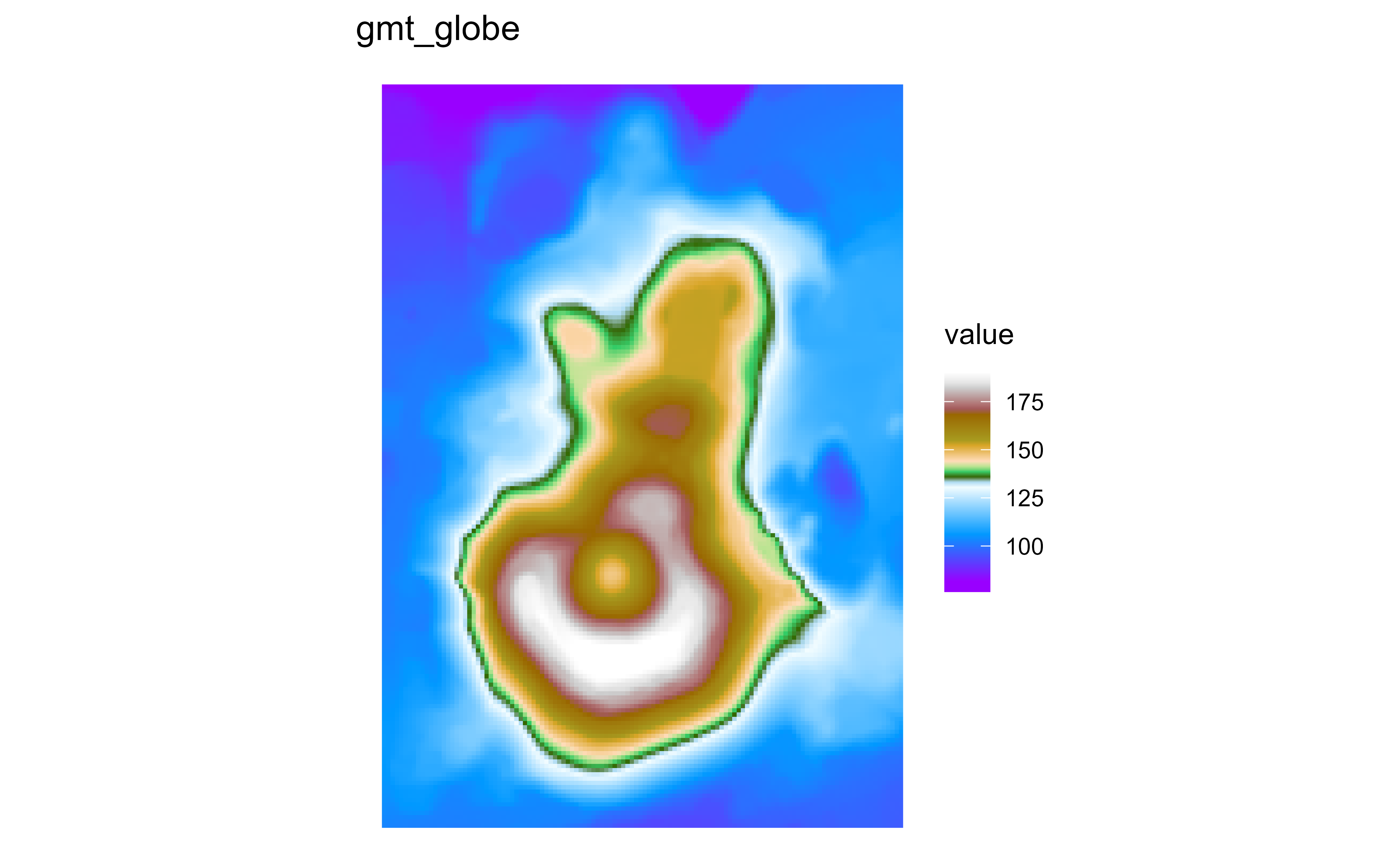
Raster map of volcanic elevation using the hypsometric gmt_globe palette. Fill color encodes elevation across the volcanic terrain.

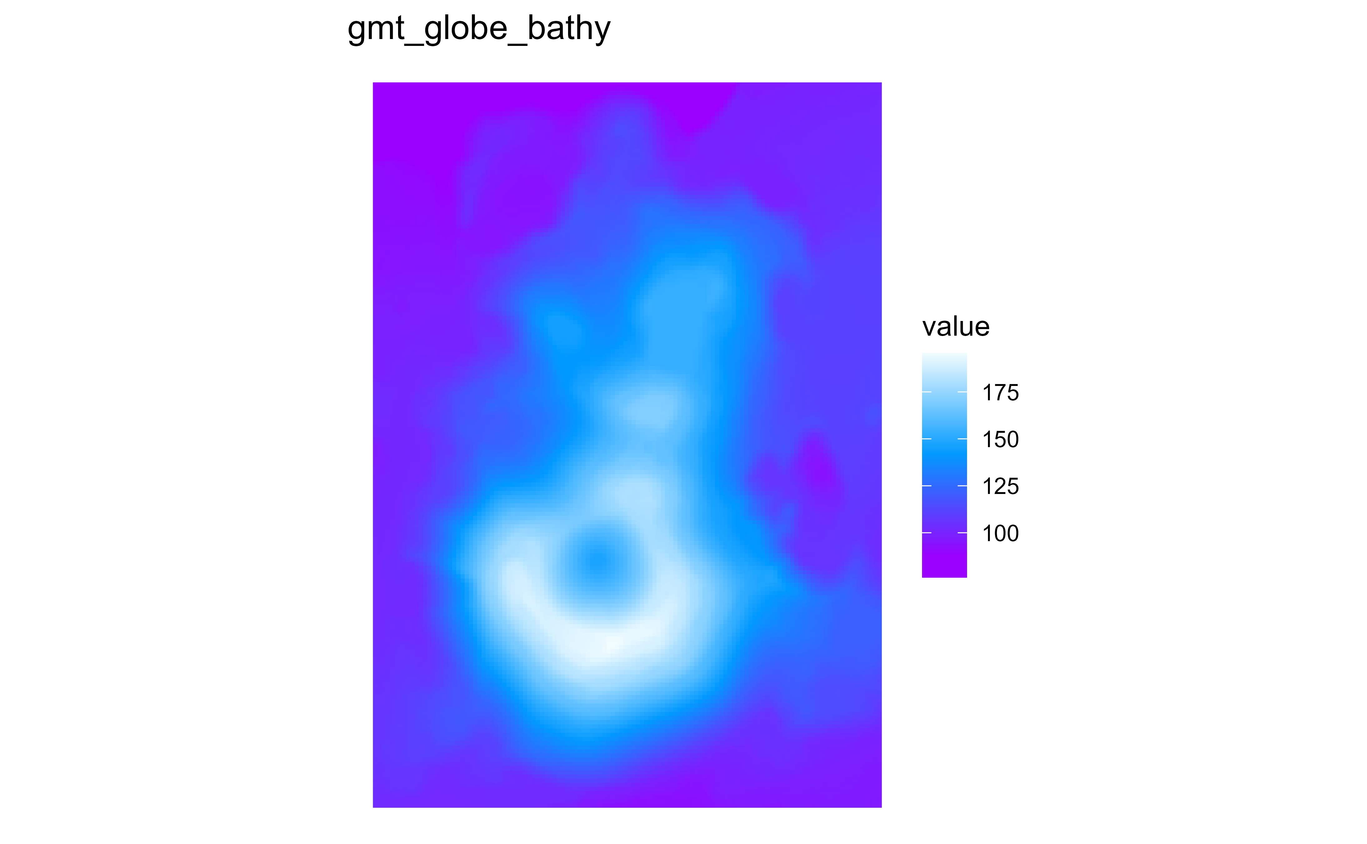
Raster map of volcanic elevation using the hypsometric gmt_globe_bathy palette. Fill color encodes elevation across the volcanic terrain.

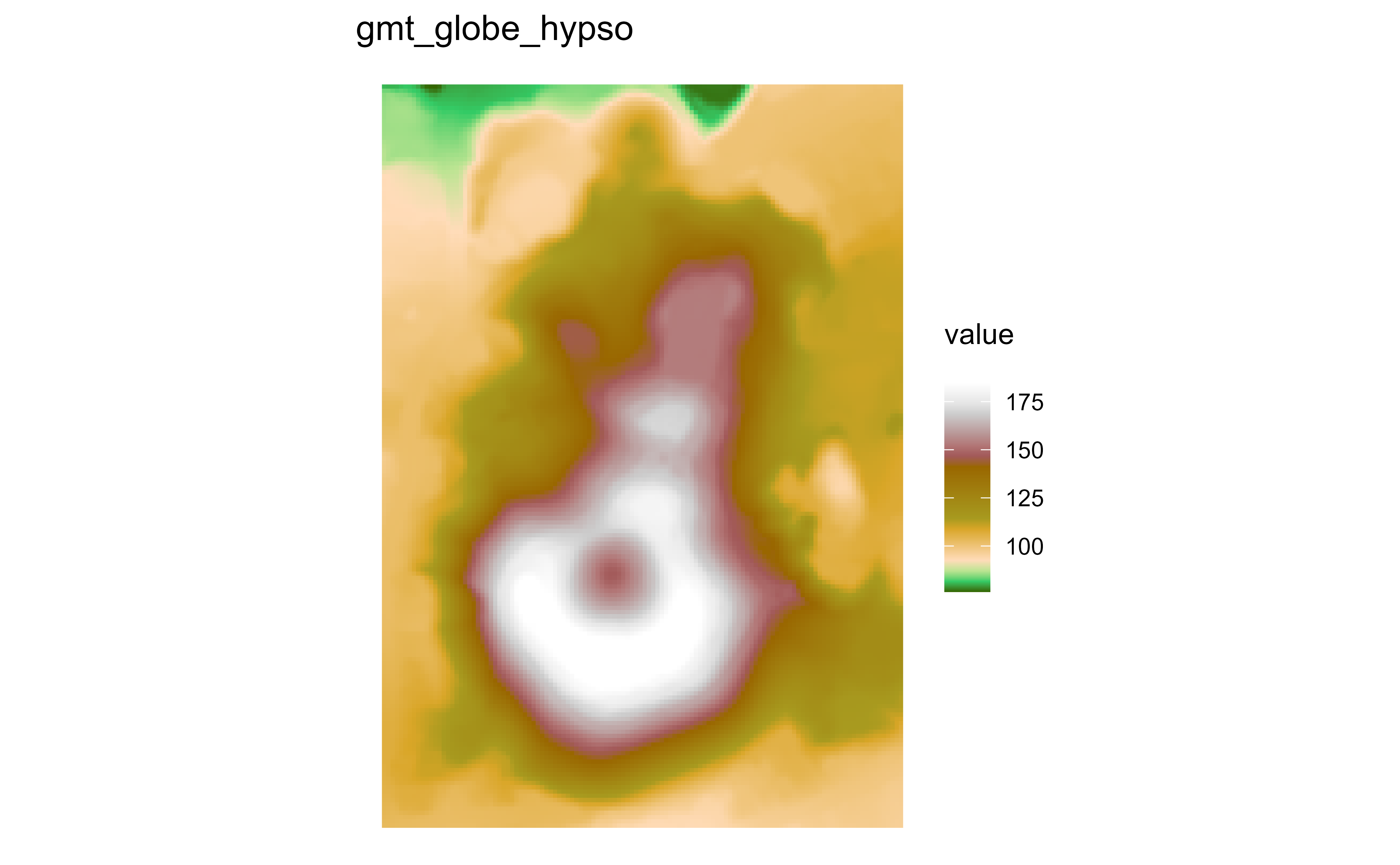
Raster map of volcanic elevation using the hypsometric gmt_globe_hypso palette. Fill color encodes elevation across the volcanic terrain.

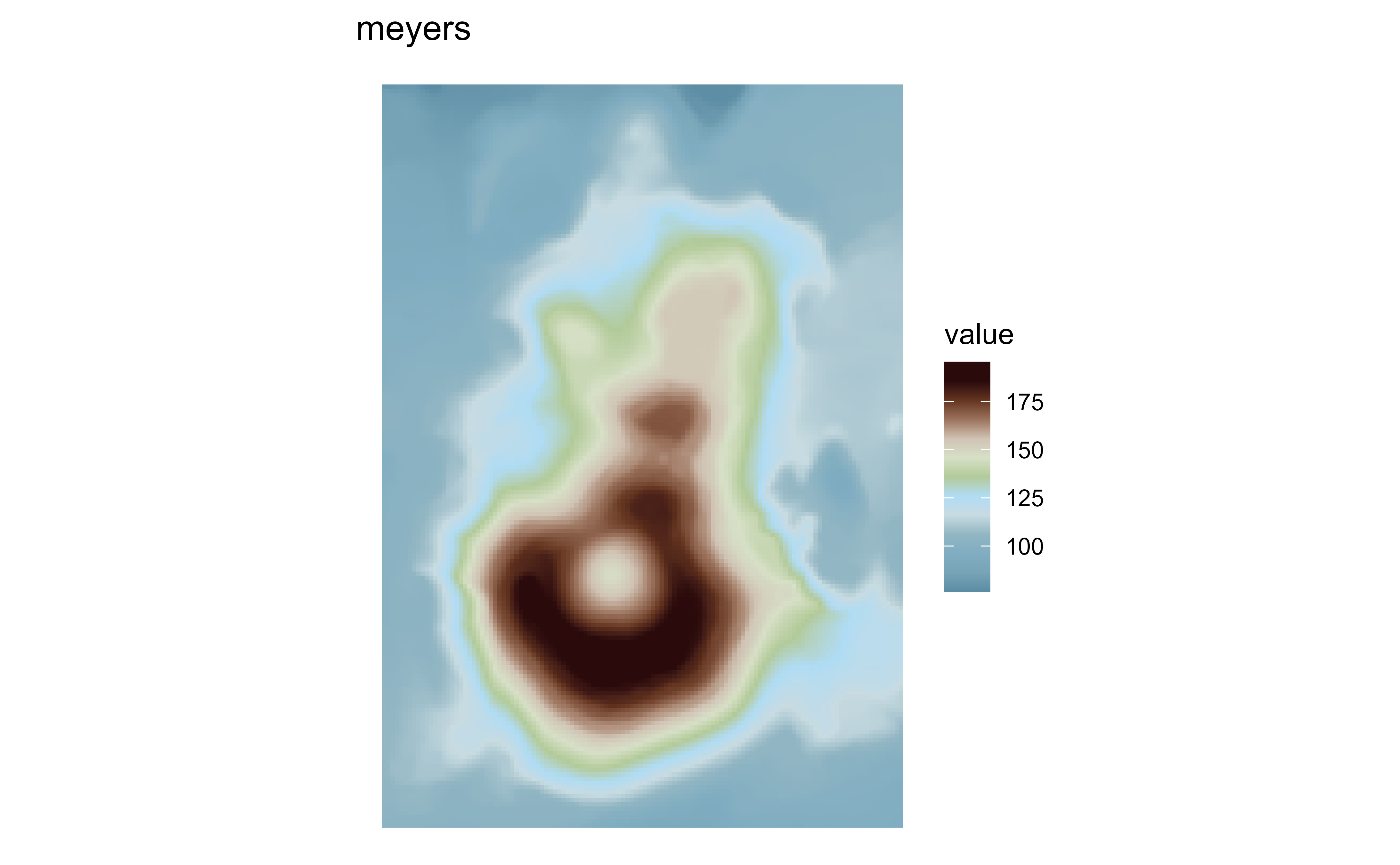
Raster map of volcanic elevation using the hypsometric meyers palette. Fill color encodes elevation across the volcanic terrain.

Raster map of volcanic elevation using the hypsometric meyers_bathy palette. Fill color encodes elevation across the volcanic terrain.

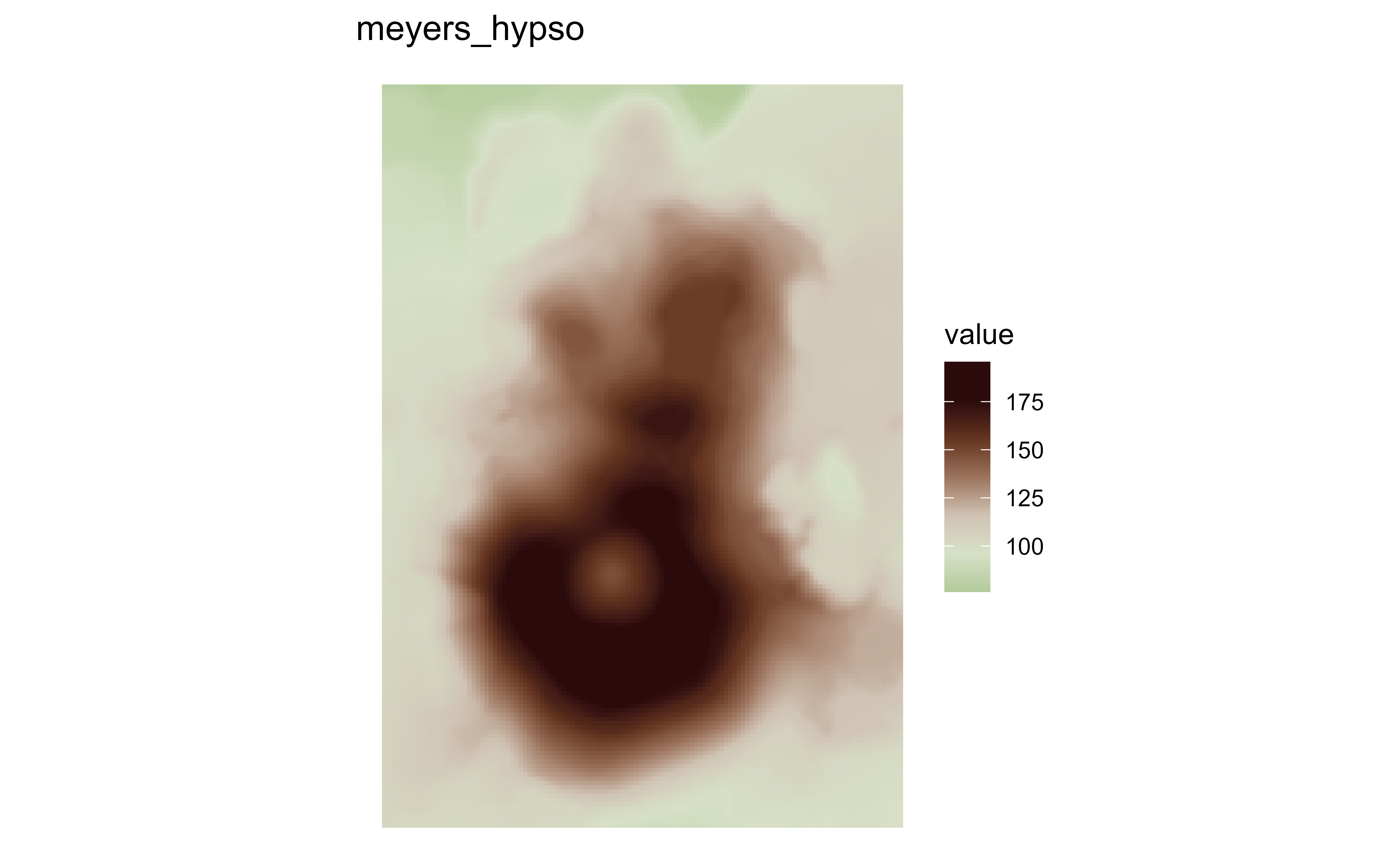
Raster map of volcanic elevation using the hypsometric meyers_hypso palette. Fill color encodes elevation across the volcanic terrain.

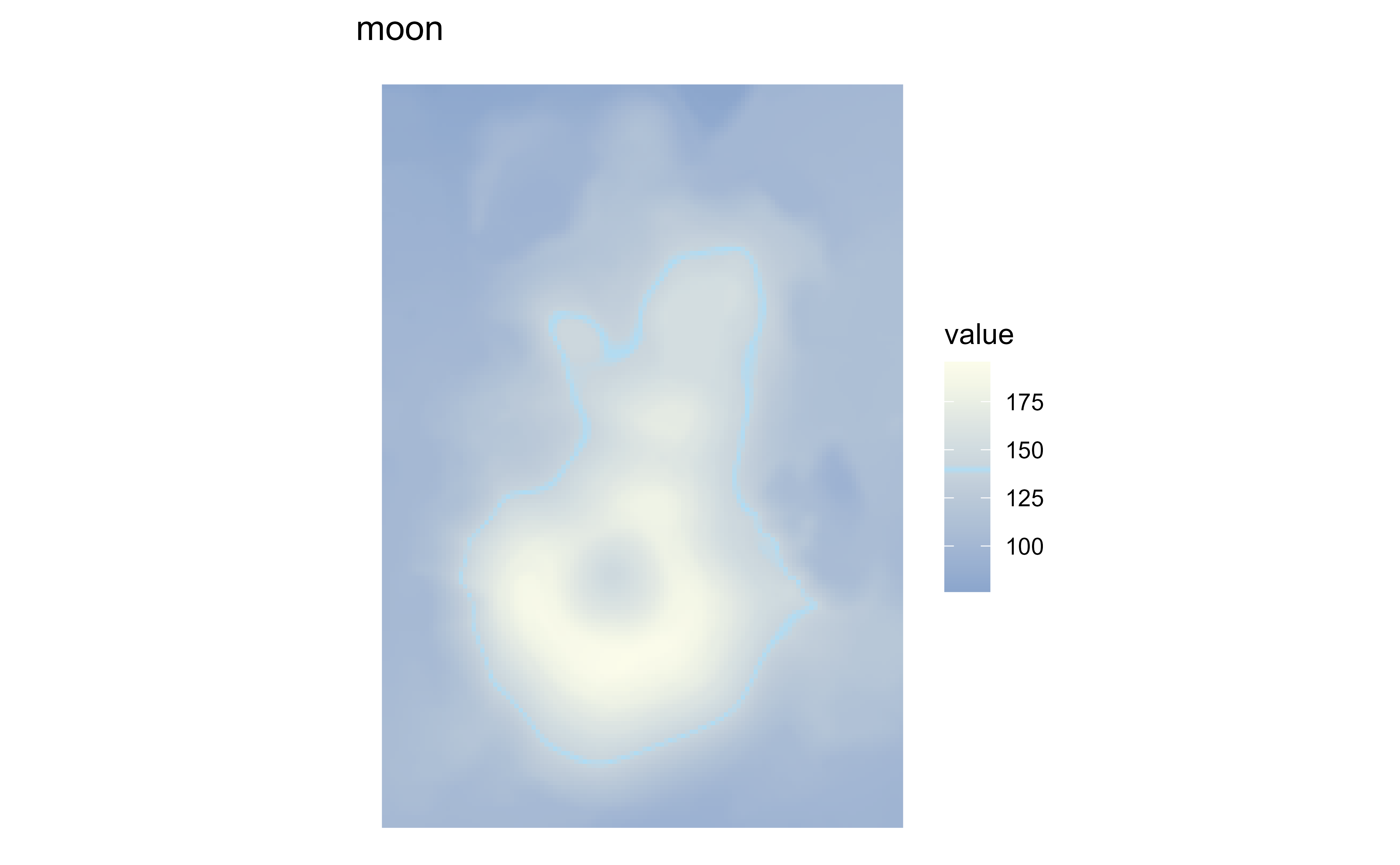
Raster map of volcanic elevation using the hypsometric moon palette. Fill color encodes elevation across the volcanic terrain.

Raster map of volcanic elevation using the hypsometric moon_bathy palette. Fill color encodes elevation across the volcanic terrain.

Raster map of volcanic elevation using the hypsometric moon_hypso palette. Fill color encodes elevation across the volcanic terrain.

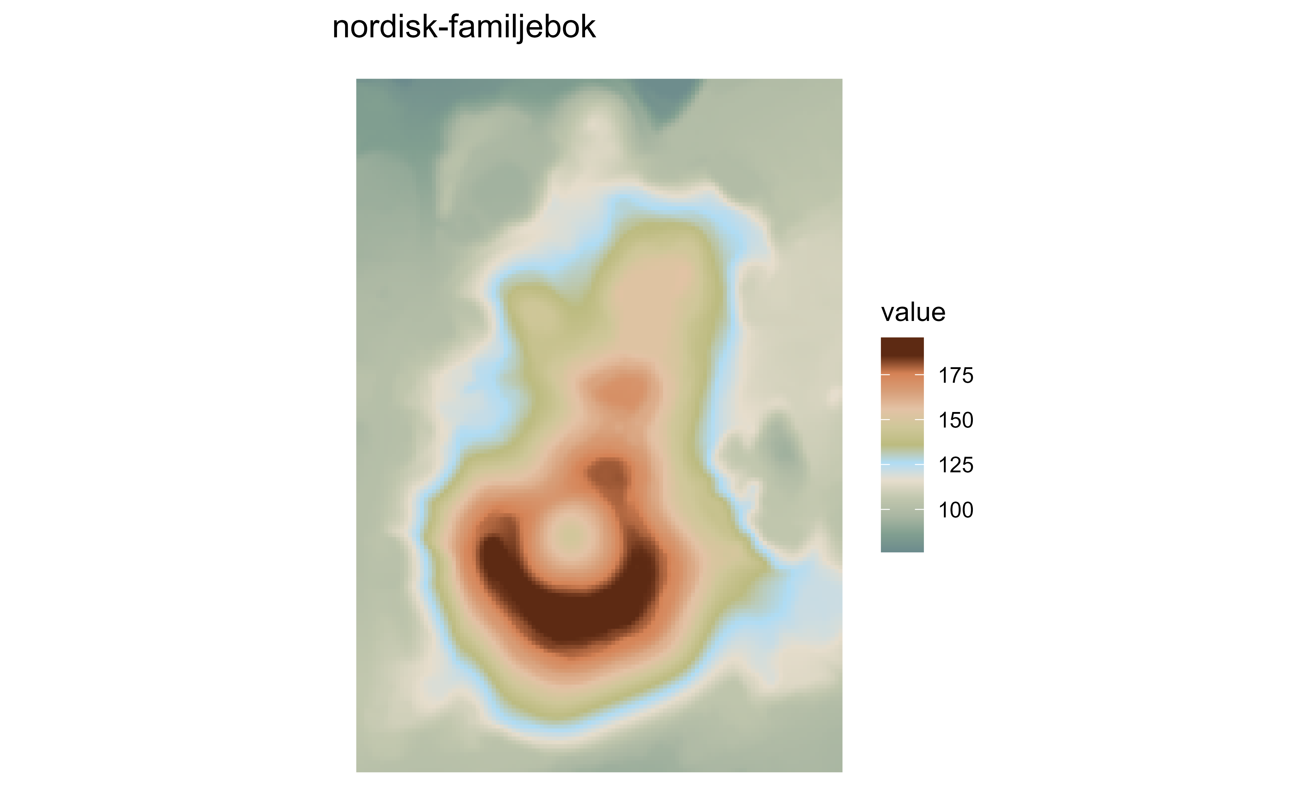
Raster map of volcanic elevation using the hypsometric nordisk-familjebok palette. Fill color encodes elevation across the volcanic terrain.

Raster map of volcanic elevation using the hypsometric nordisk-familjebok_bathy palette. Fill color encodes elevation across the volcanic terrain.

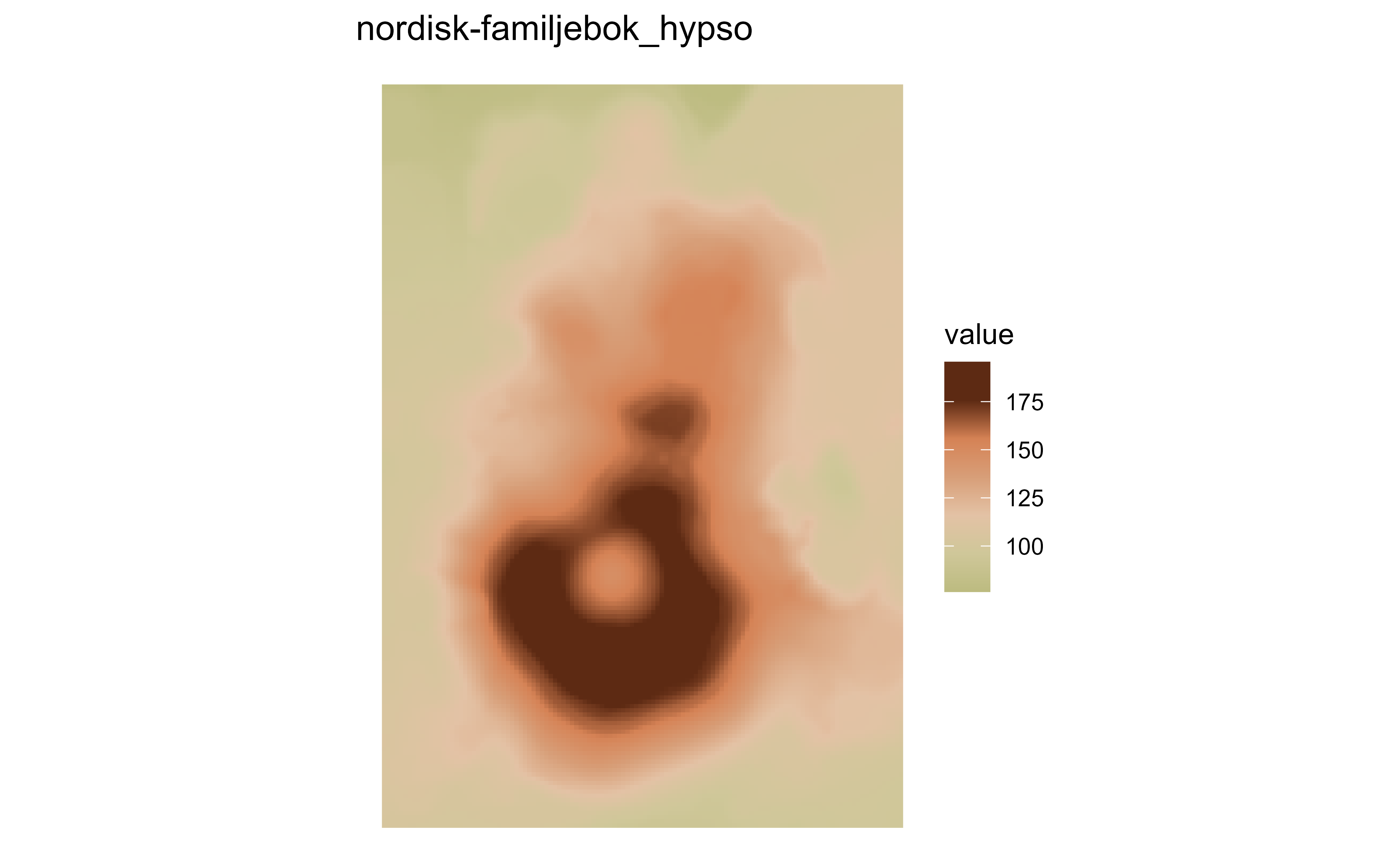
Raster map of volcanic elevation using the hypsometric nordisk-familjebok_hypso palette. Fill color encodes elevation across the volcanic terrain.

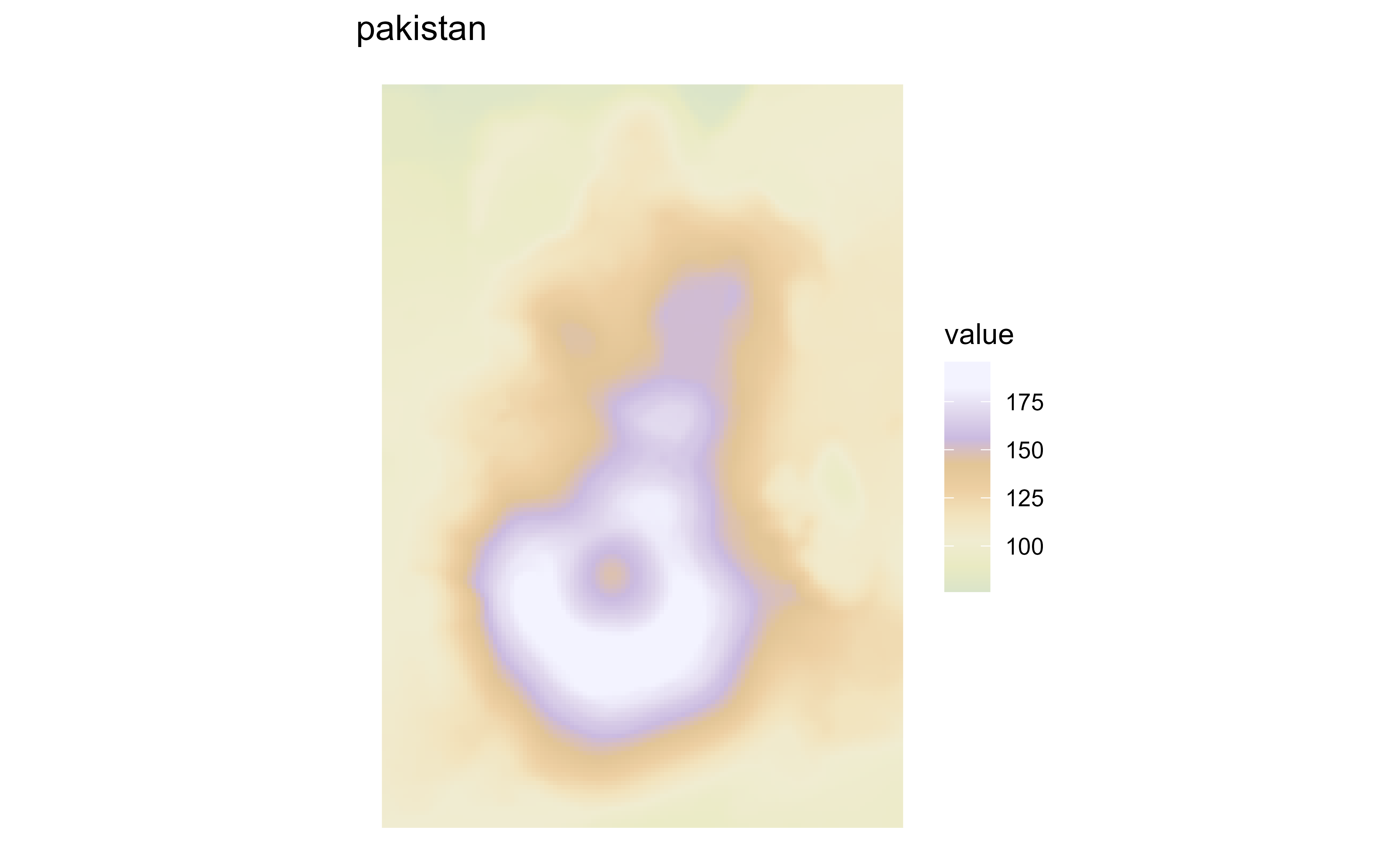
Raster map of volcanic elevation using the hypsometric pakistan palette. Fill color encodes elevation across the volcanic terrain.

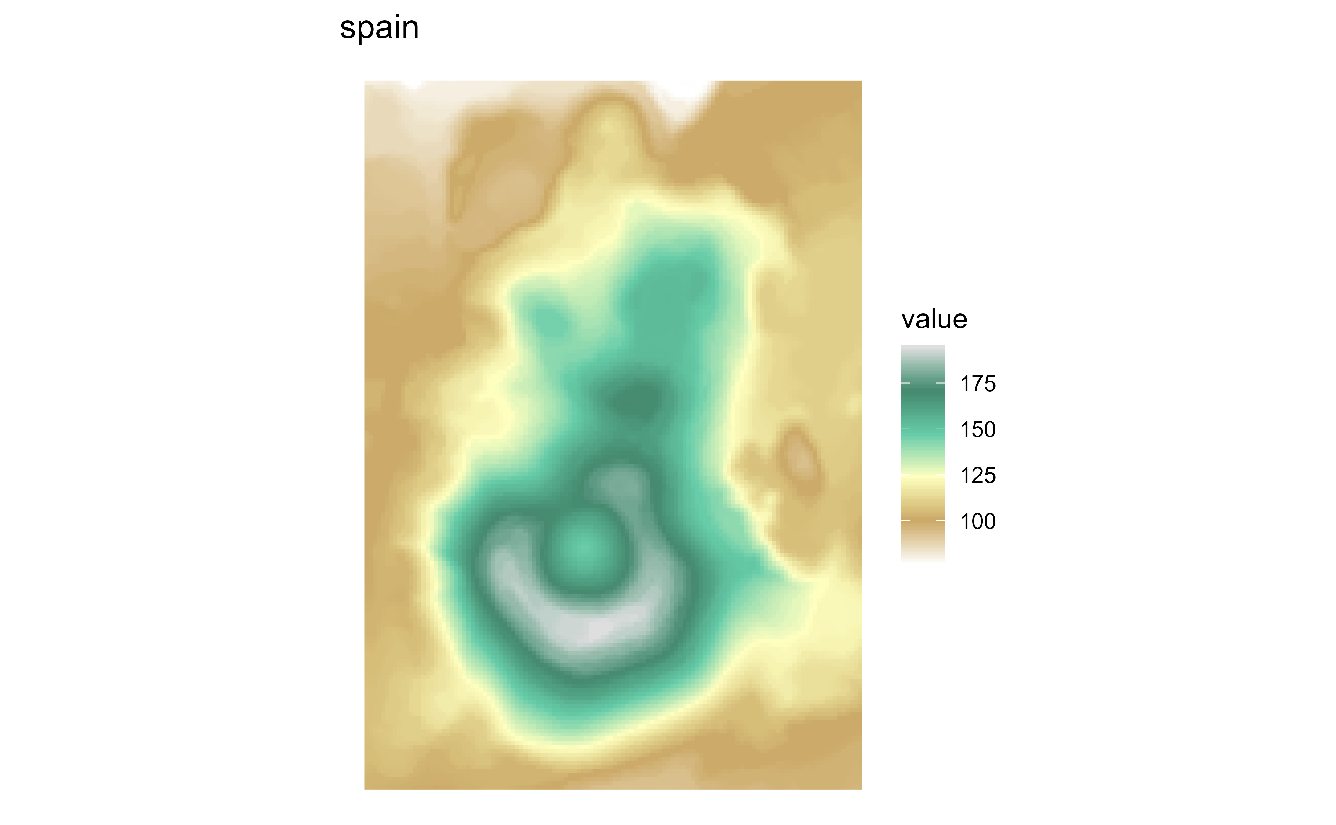
Raster map of volcanic elevation using the hypsometric spain palette. Fill color encodes elevation across the volcanic terrain.

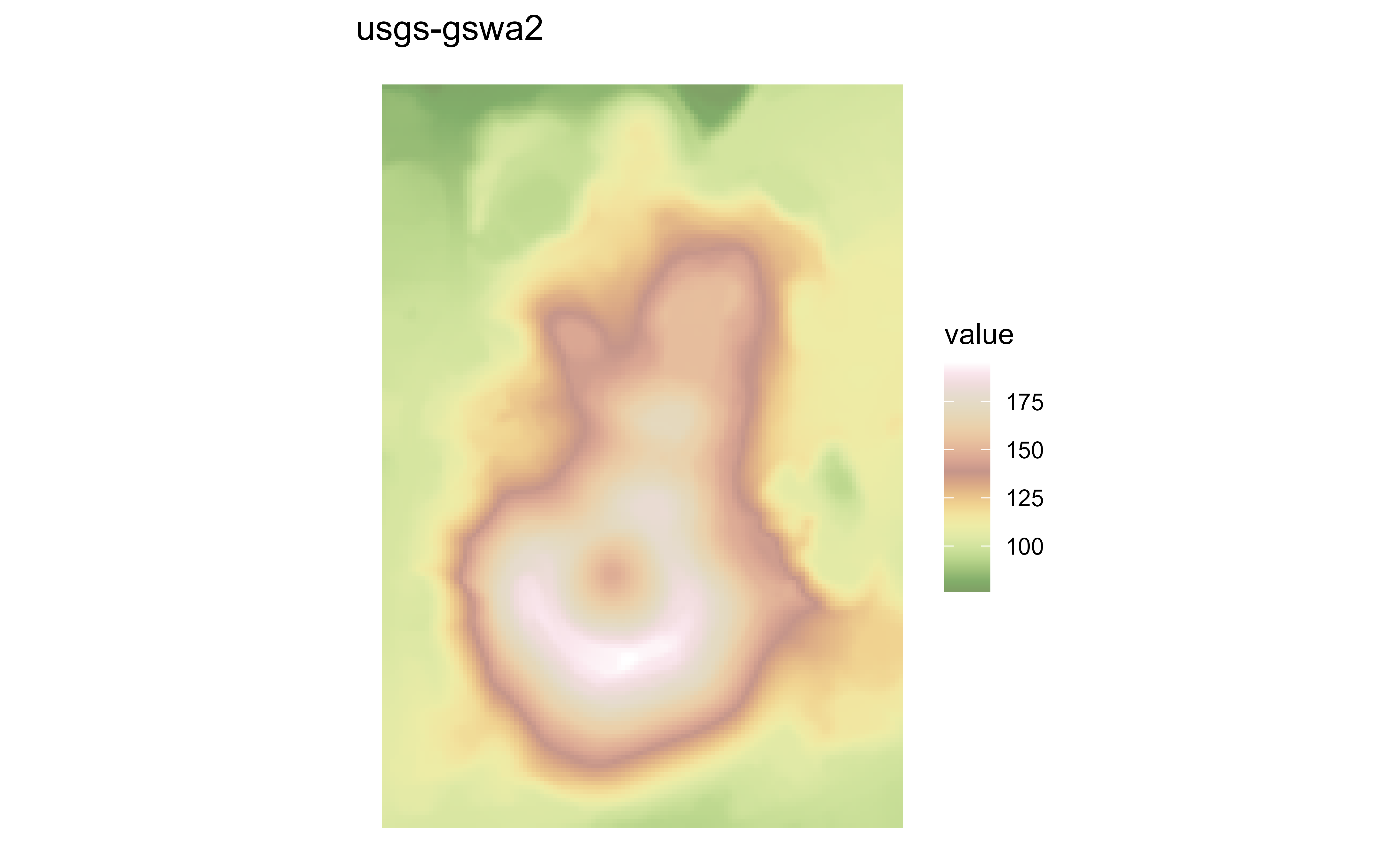
Raster map of volcanic elevation using the hypsometric usgs-gswa2 palette. Fill color encodes elevation across the volcanic terrain.

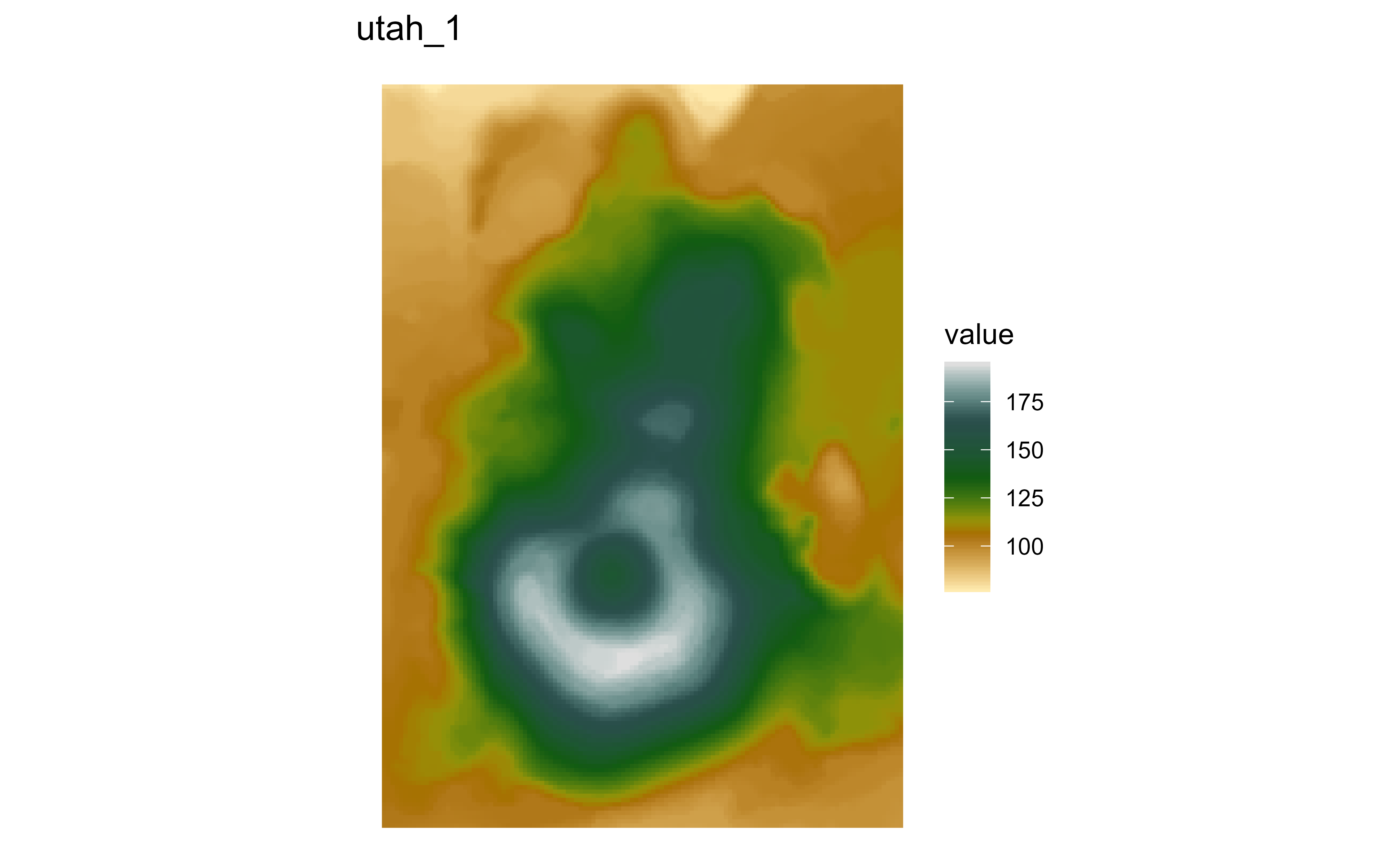
Raster map of volcanic elevation using the hypsometric utah_1 palette. Fill color encodes elevation across the volcanic terrain.

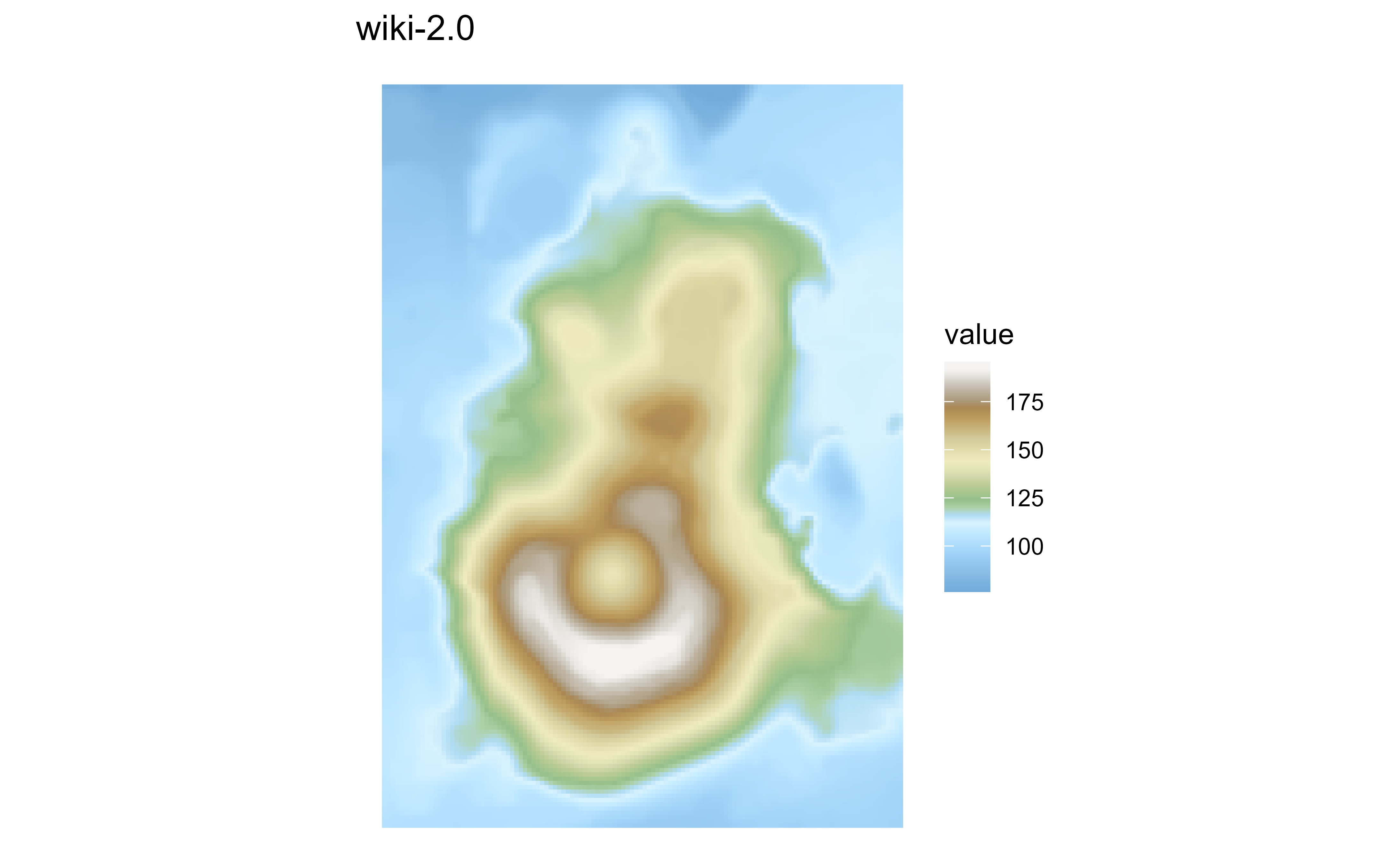
Raster map of volcanic elevation using the hypsometric wiki-2.0 palette. Fill color encodes elevation across the volcanic terrain.

Raster map of volcanic elevation using the hypsometric wiki-2.0_bathy palette. Fill color encodes elevation across the volcanic terrain.

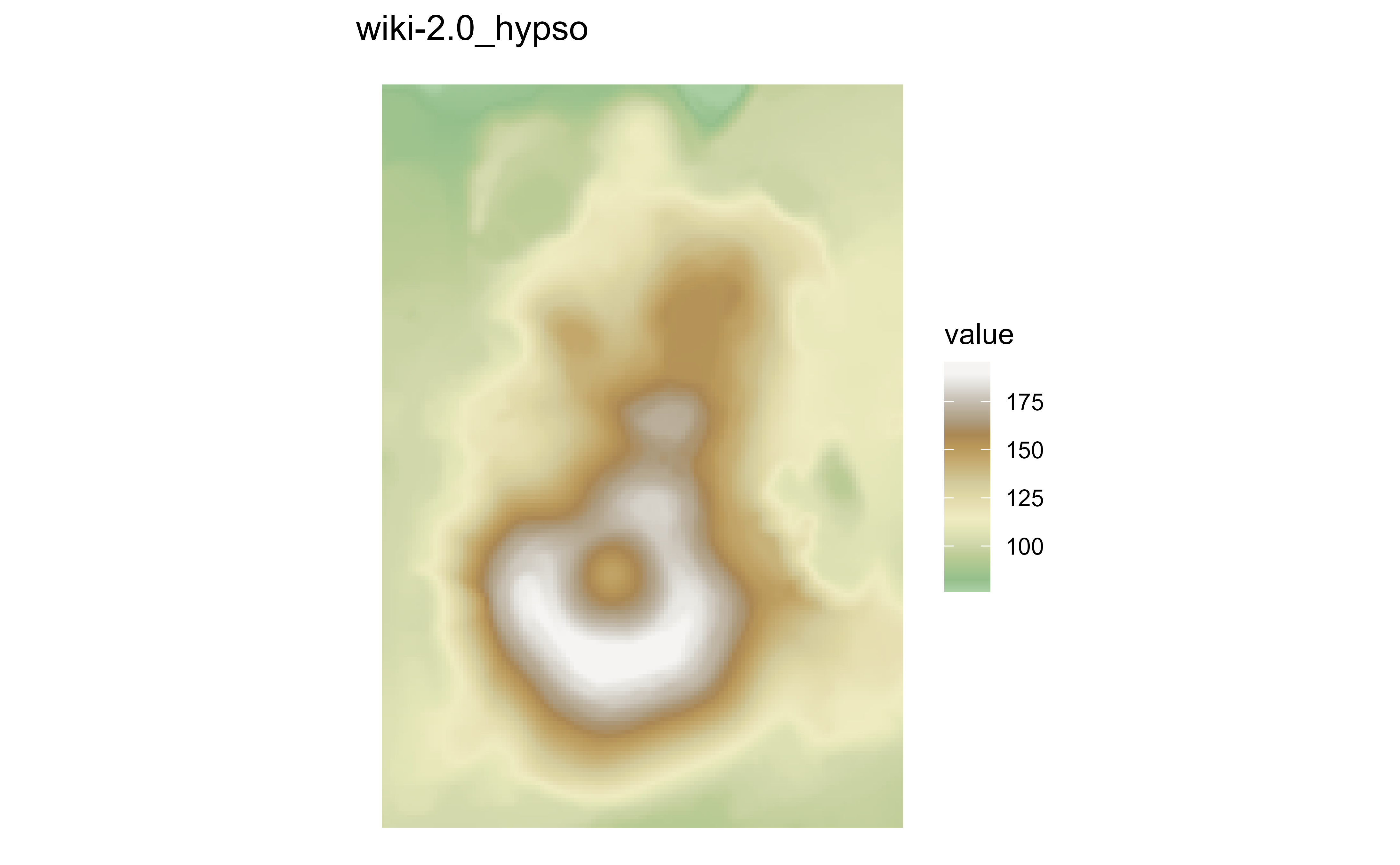
Raster map of volcanic elevation using the hypsometric wiki-2.0_hypso palette. Fill color encodes elevation across the volcanic terrain.

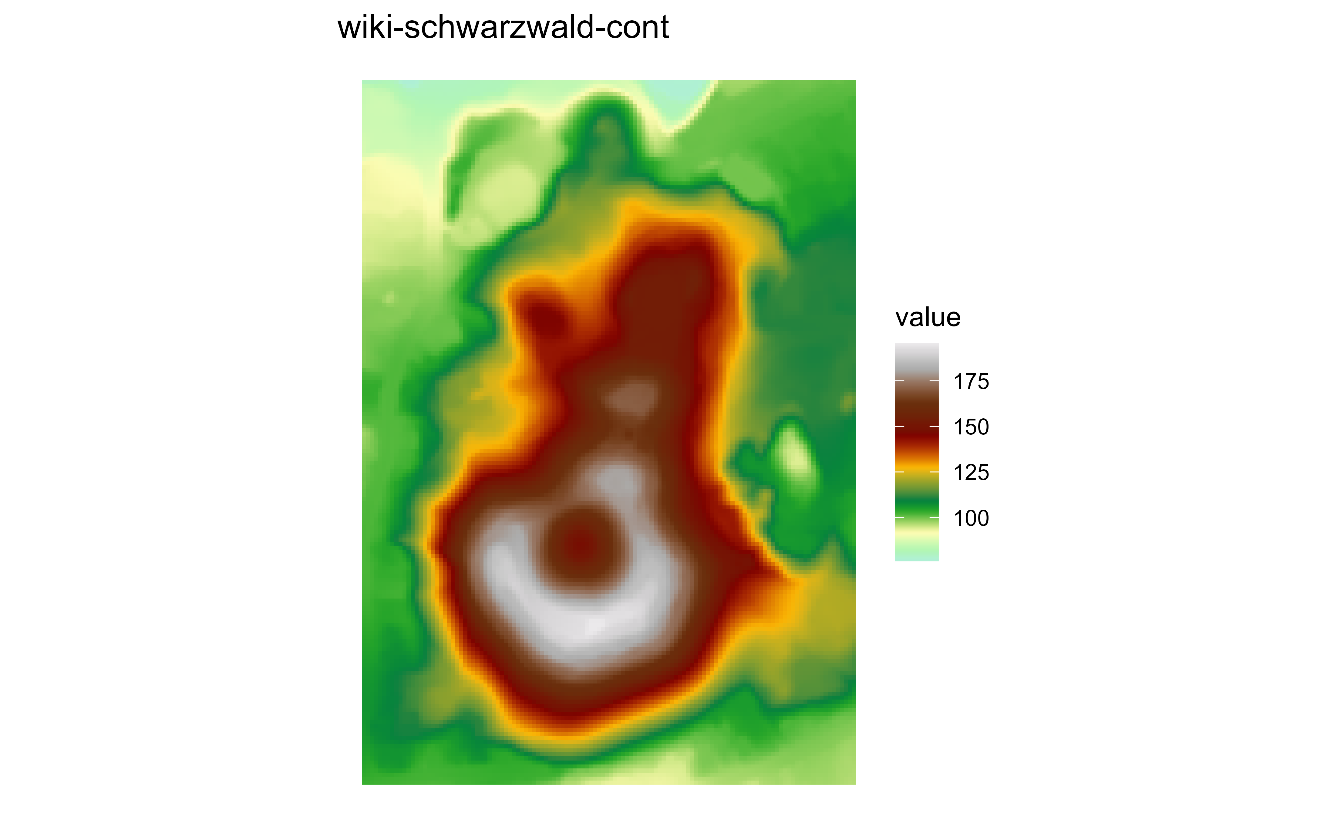
Raster map of volcanic elevation using the hypsometric wiki-schwarzwald-cont palette. Fill color encodes elevation across the volcanic terrain.

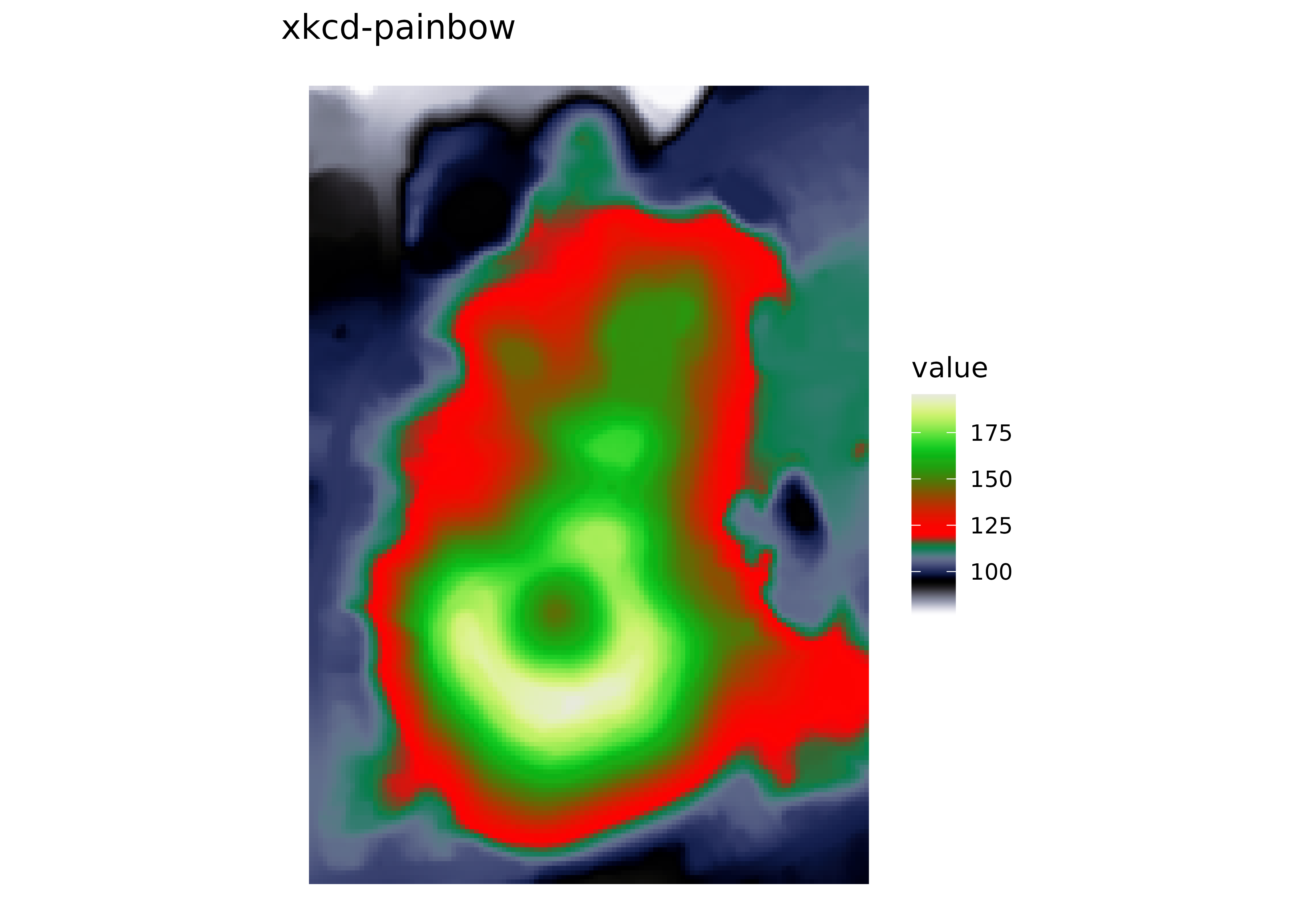
Raster map of volcanic elevation using the hypsometric xkcd-painbow palette. Fill color encodes elevation across the volcanic terrain.

scale_fill_cross_blended_*

See scale_fill_cross_blended_c() for details.

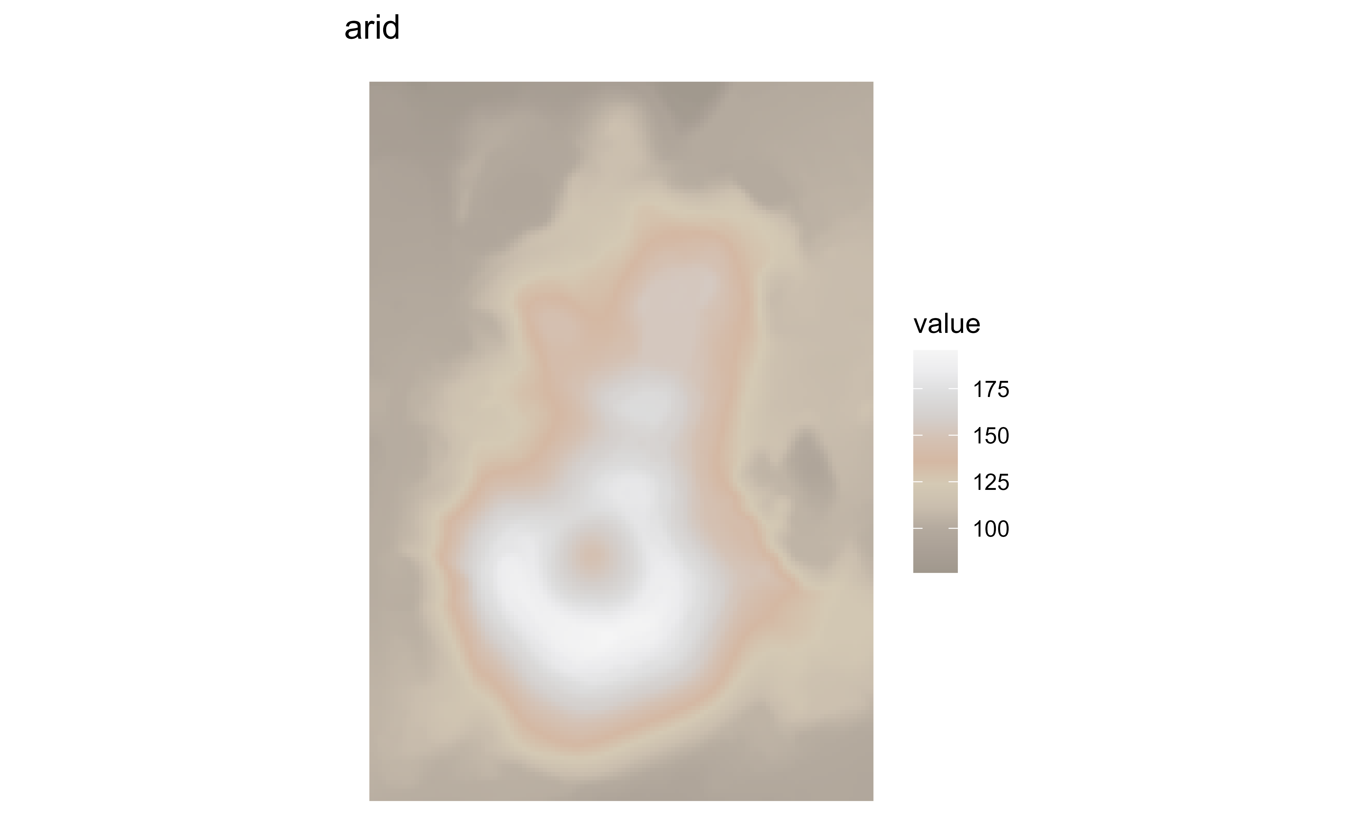
Raster map of volcanic elevation using the cross-blended arid palette. Fill color encodes elevation across the volcanic terrain.

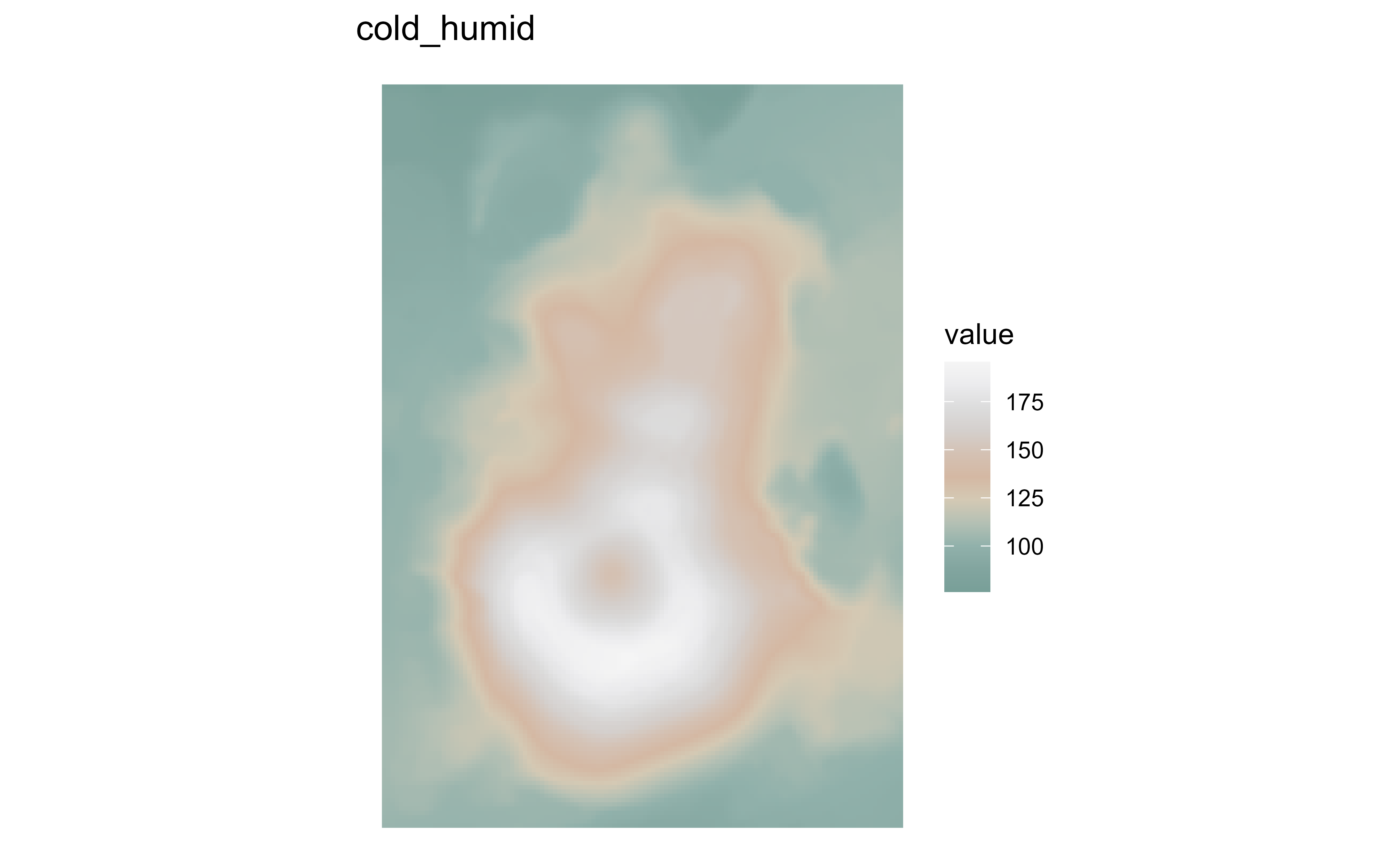
Raster map of volcanic elevation using the cross-blended cold_humid palette. Fill color encodes elevation across the volcanic terrain.

Raster map of volcanic elevation using the cross-blended polar palette. Fill color encodes elevation across the volcanic terrain.

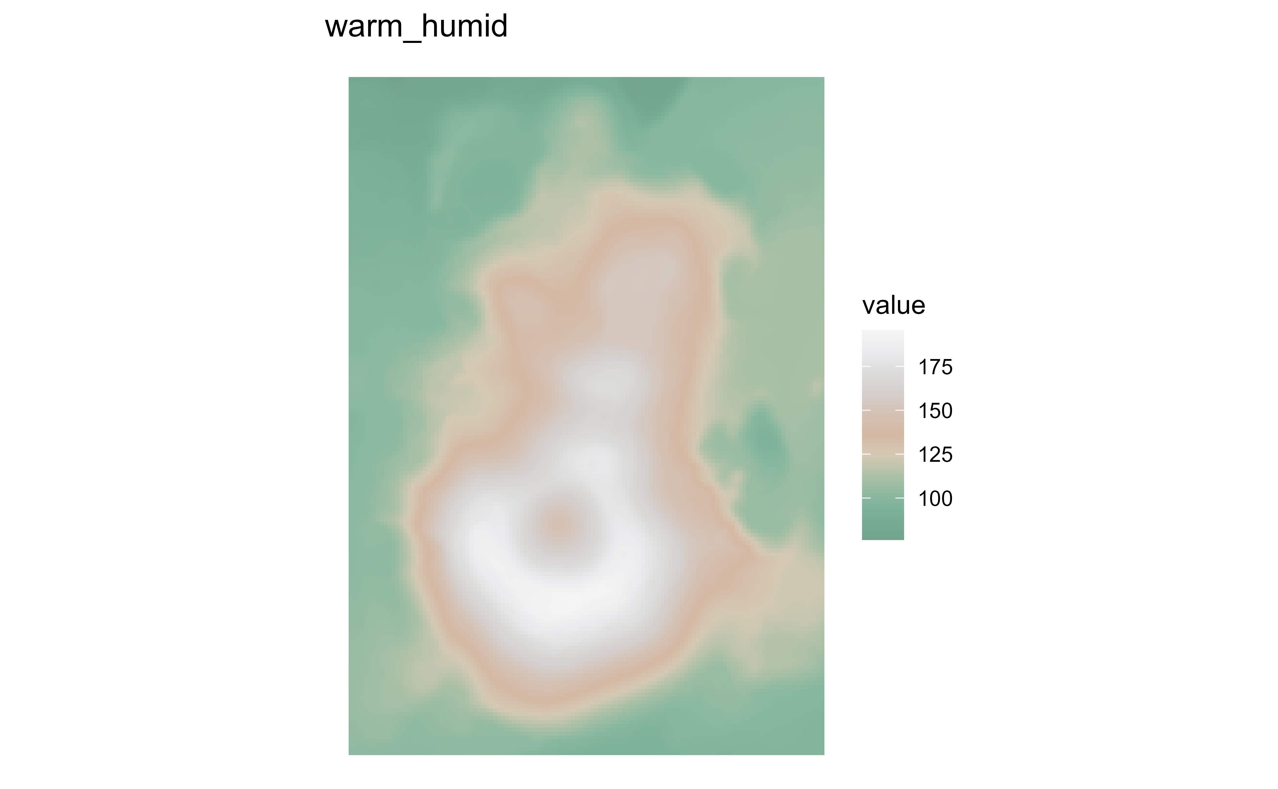
Raster map of volcanic elevation using the cross-blended warm_humid palette. Fill color encodes elevation across the volcanic terrain.

scale_fill_grass_*

See scale_fill_grass_c() for details. These plots are produced with use_grass_range = FALSE.

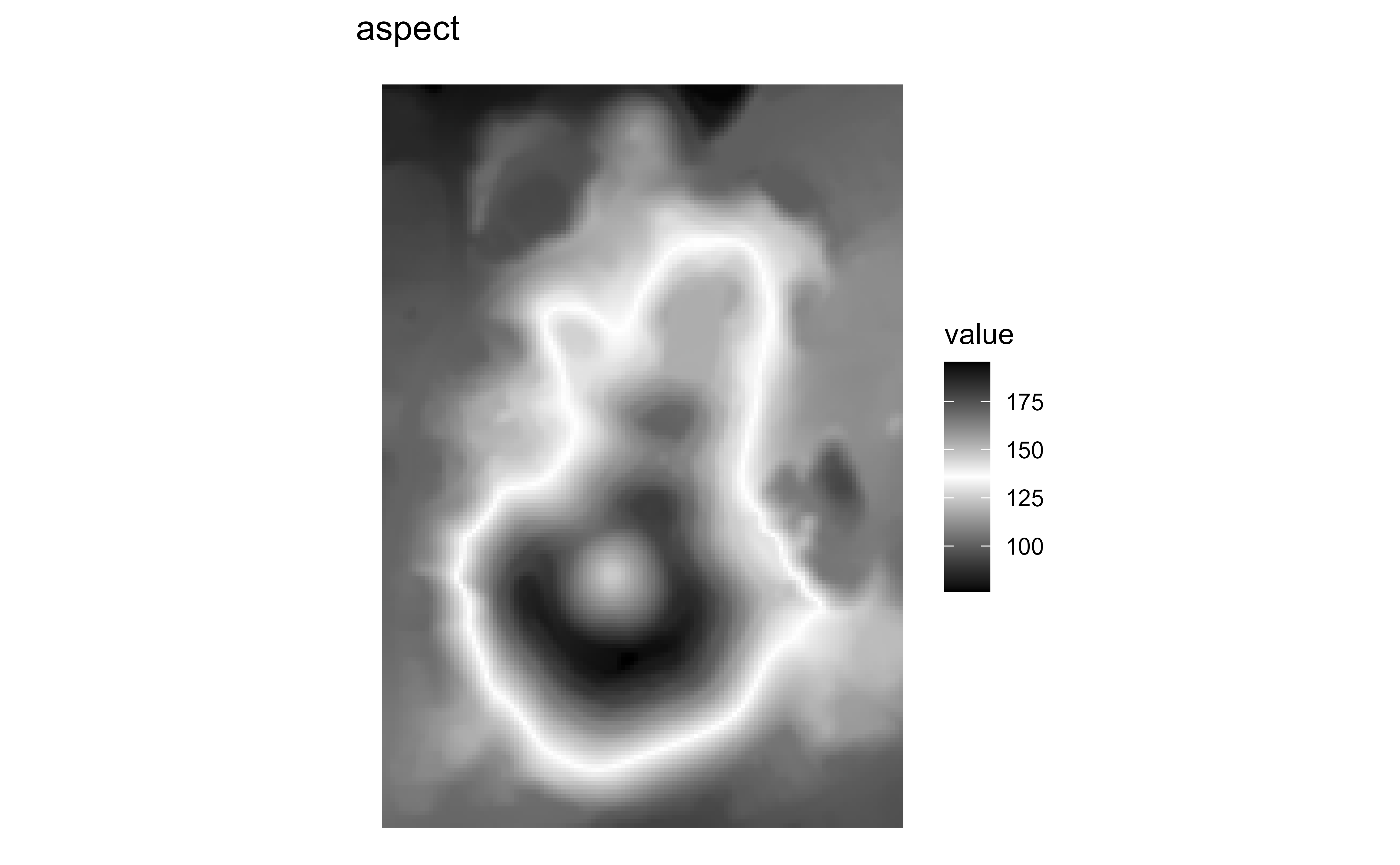
Raster map of volcanic elevation using the GRASS aspect palette. Fill color encodes elevation across the volcanic terrain.

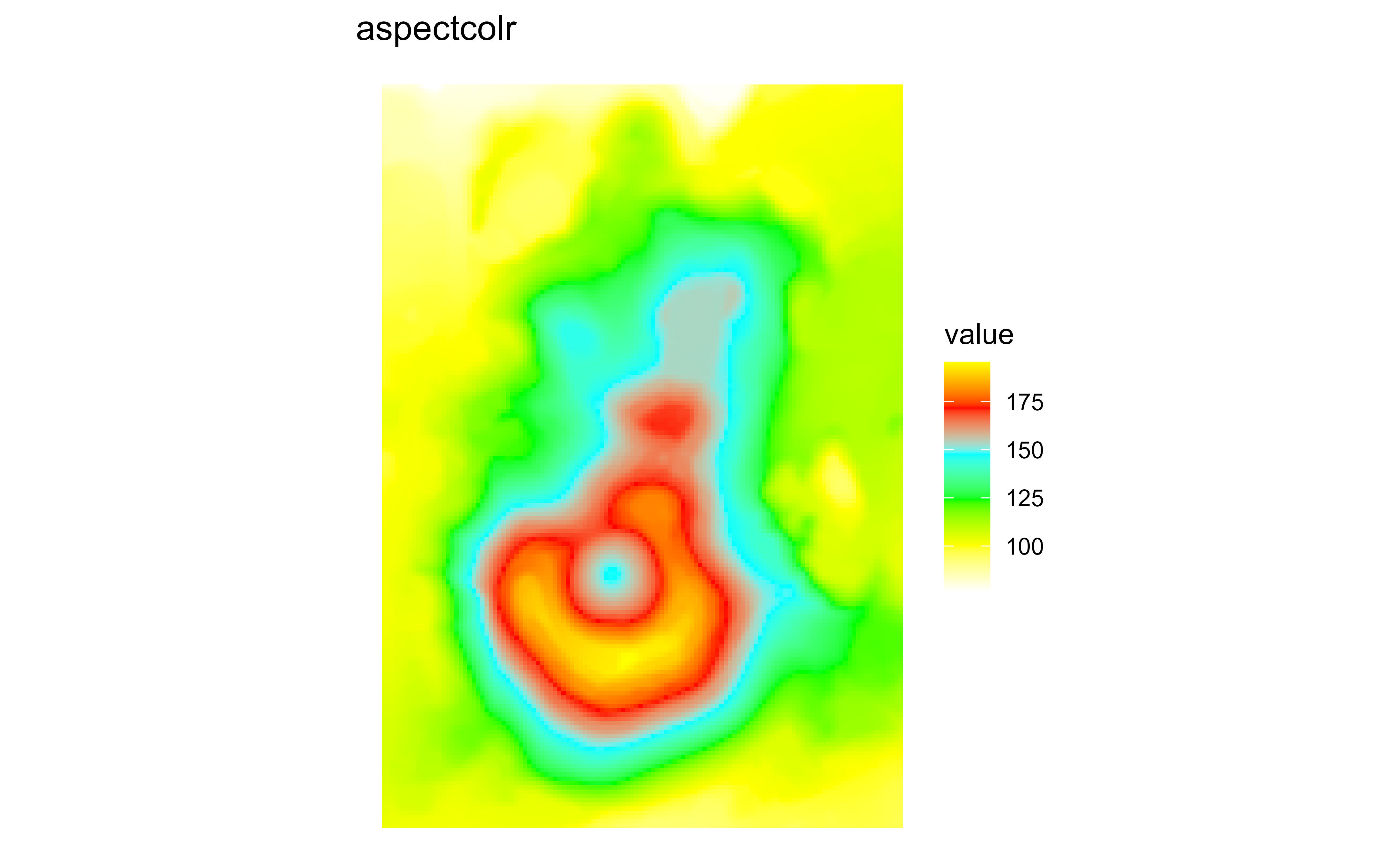
Raster map of volcanic elevation using the GRASS aspectcolr palette. Fill color encodes elevation across the volcanic terrain.

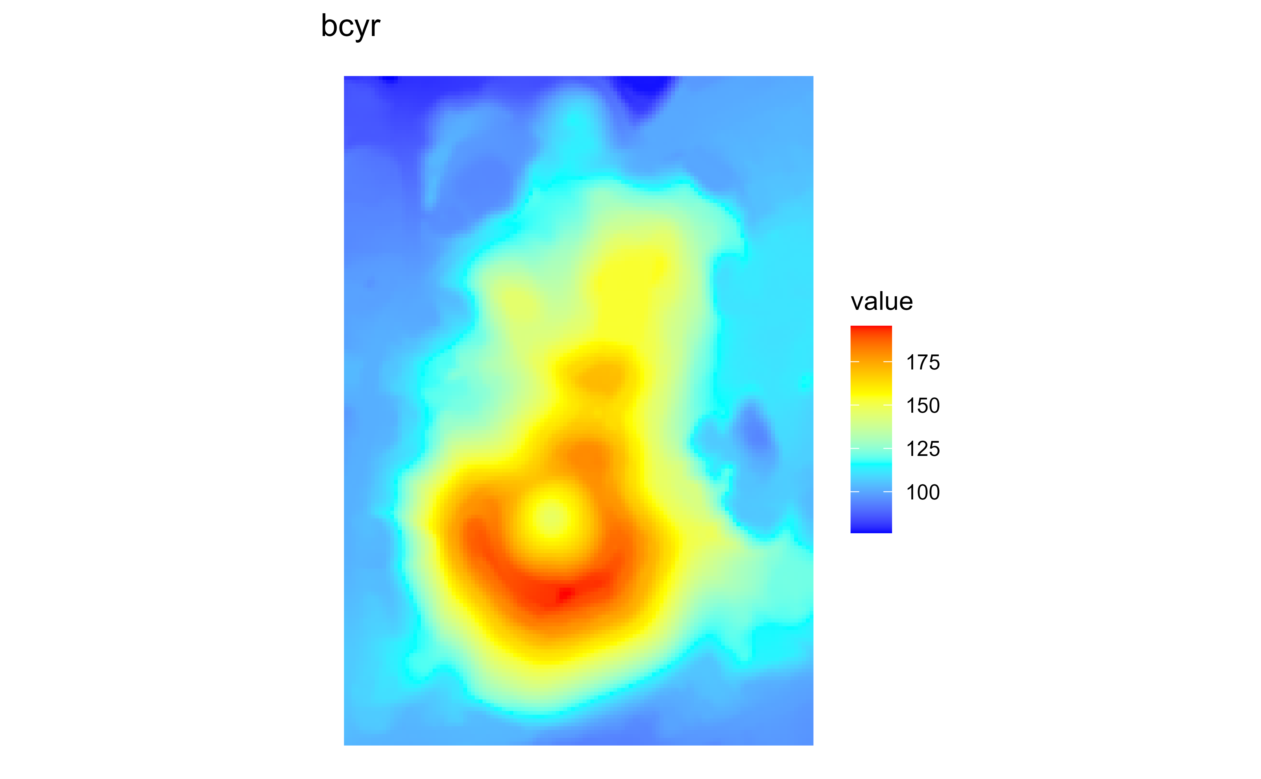
Raster map of volcanic elevation using the GRASS bcyr palette. Fill color encodes elevation across the volcanic terrain.

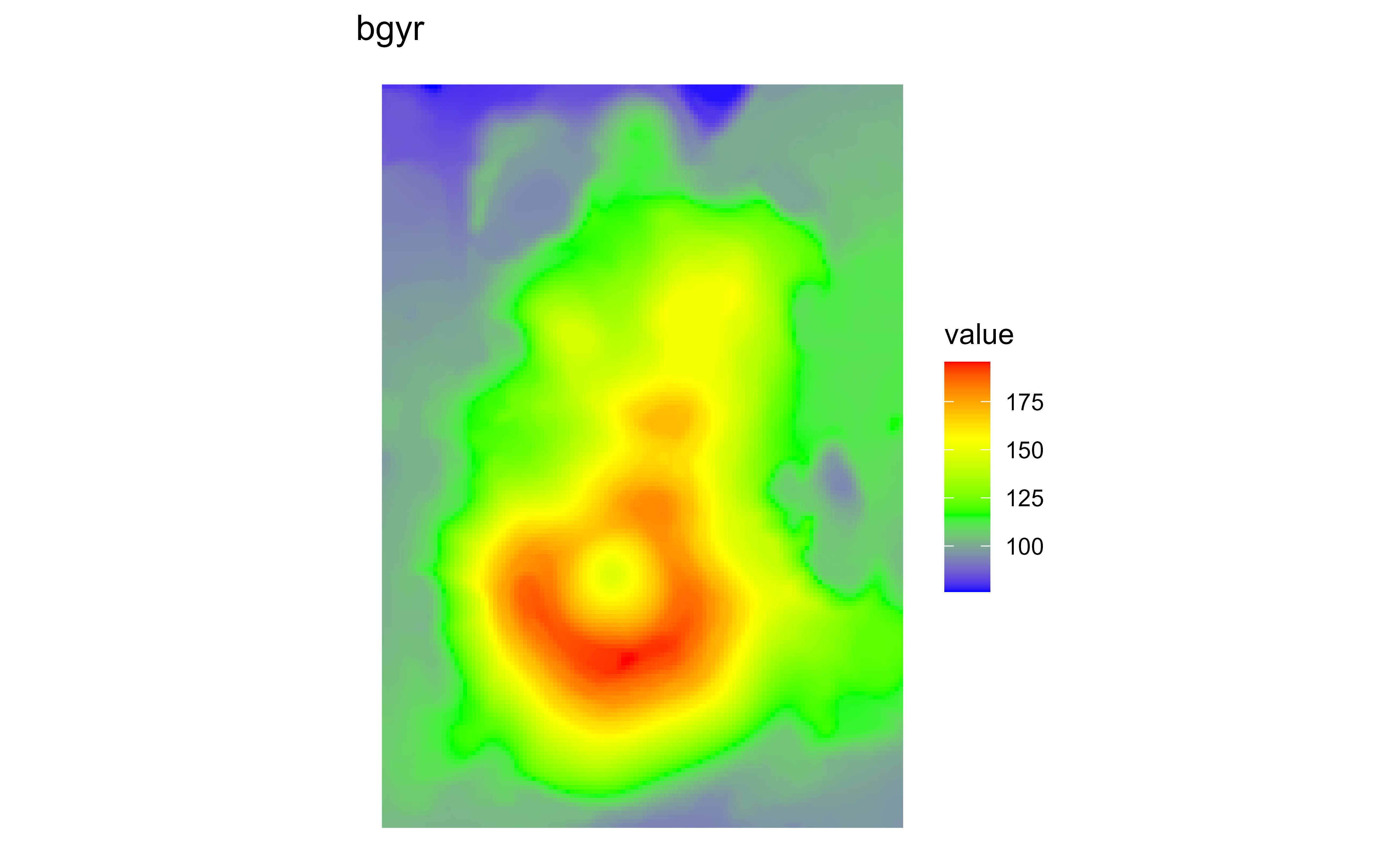
Raster map of volcanic elevation using the GRASS bgyr palette. Fill color encodes elevation across the volcanic terrain.

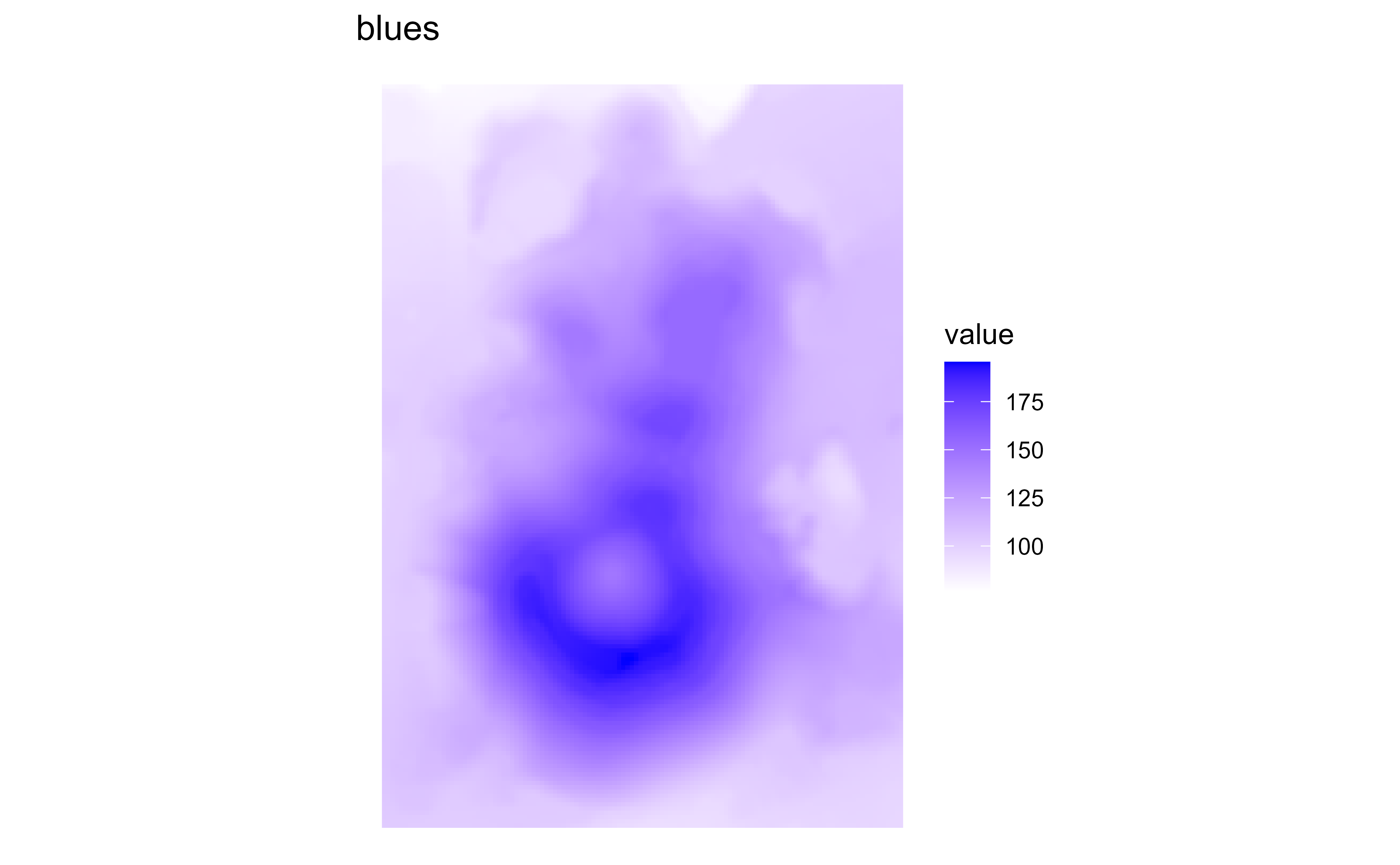
Raster map of volcanic elevation using the GRASS blues palette. Fill color encodes elevation across the volcanic terrain.

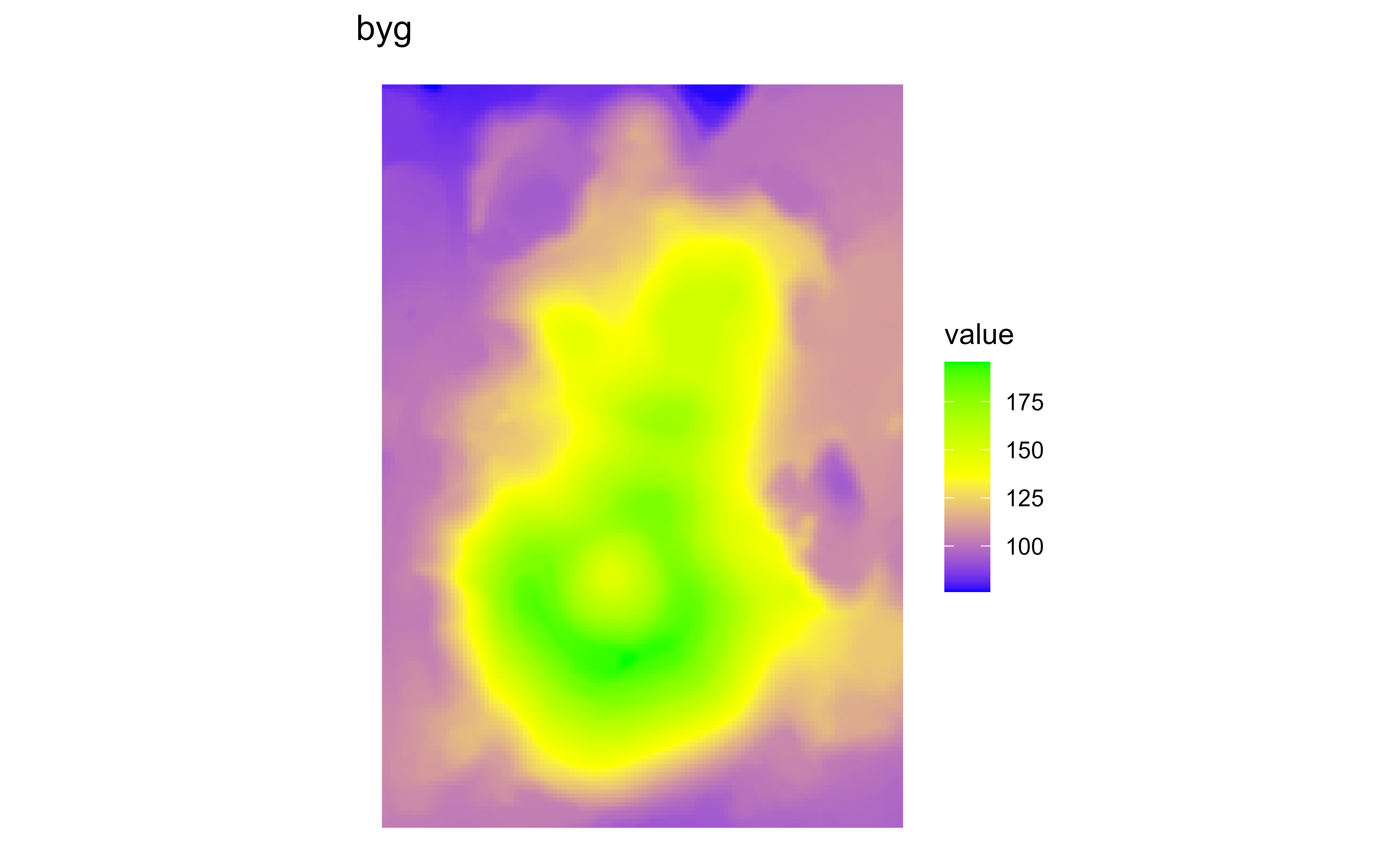
Raster map of volcanic elevation using the GRASS byg palette. Fill color encodes elevation across the volcanic terrain.

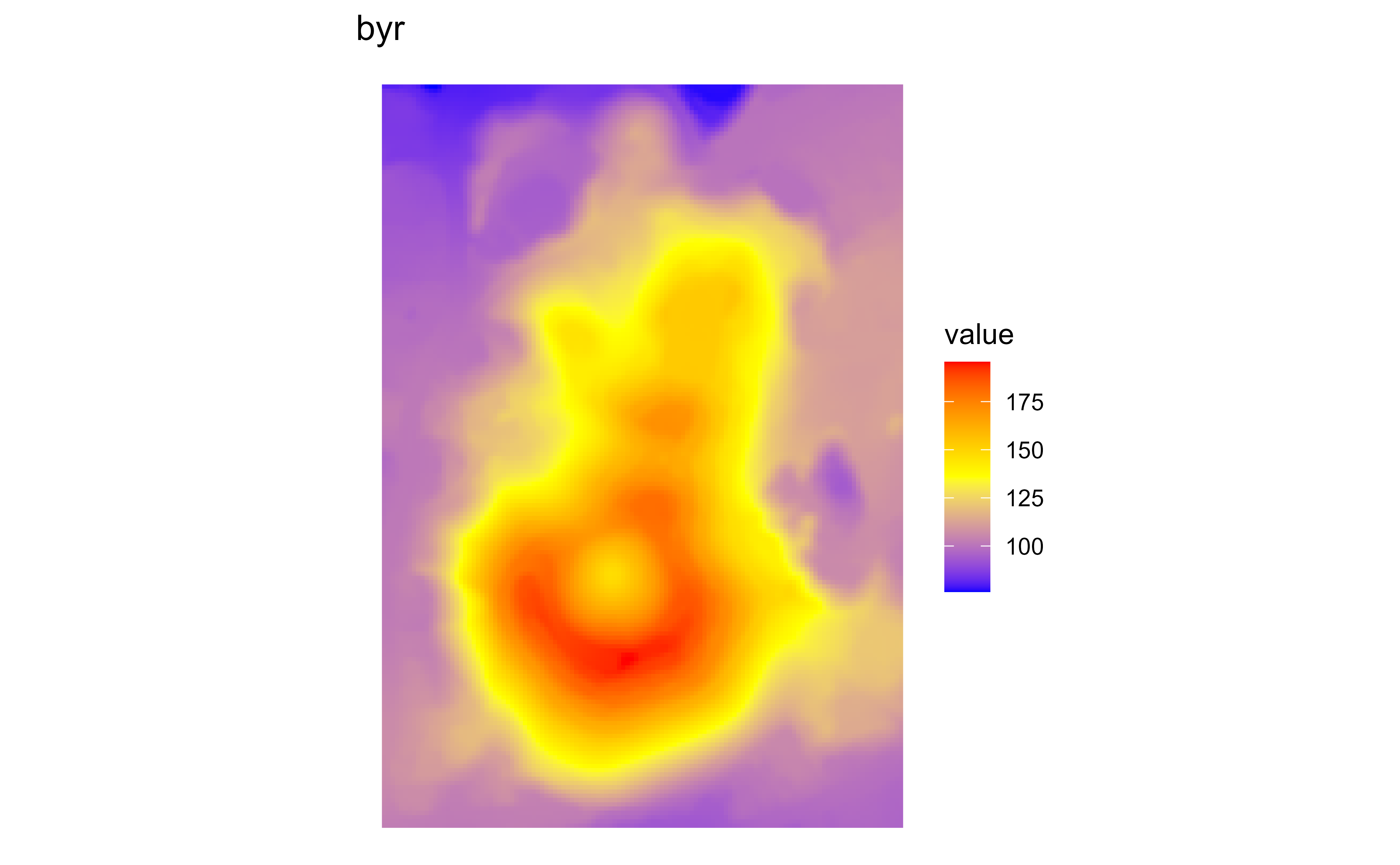
Raster map of volcanic elevation using the GRASS byr palette. Fill color encodes elevation across the volcanic terrain.

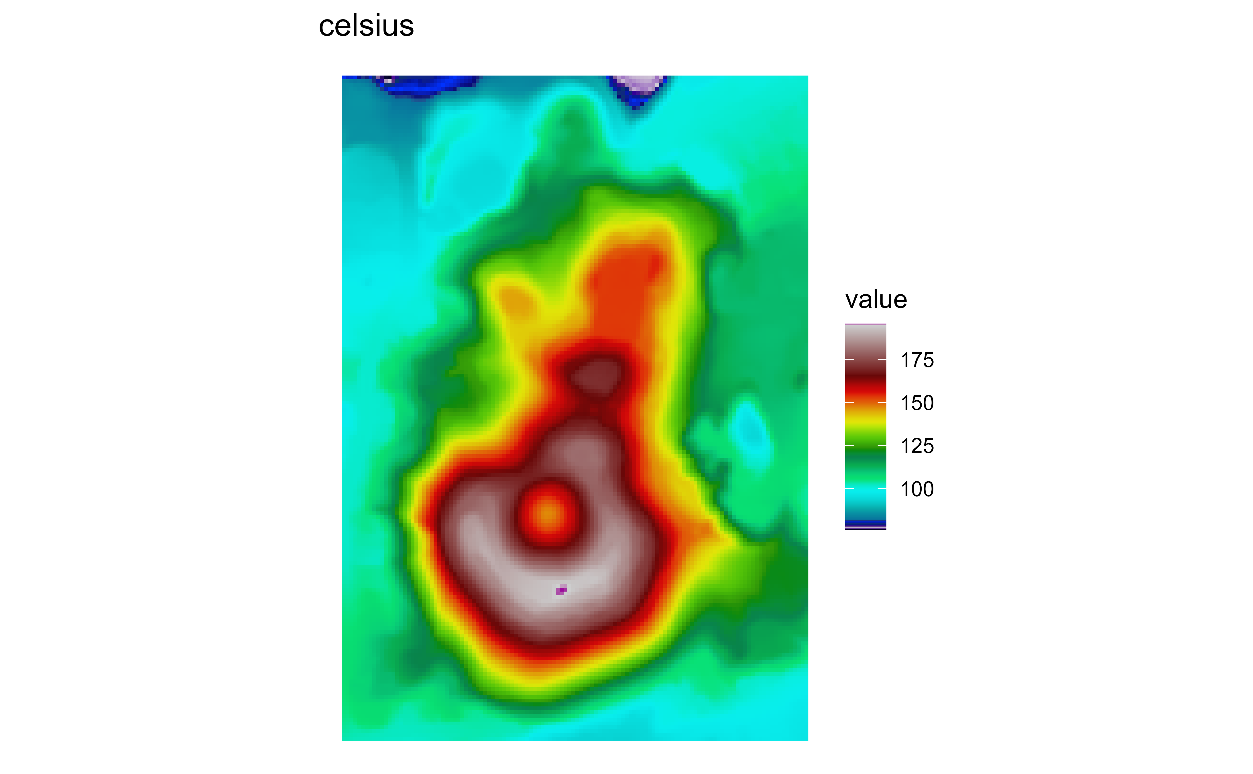
Raster map of volcanic elevation using the GRASS celsius palette. Fill color encodes elevation across the volcanic terrain.

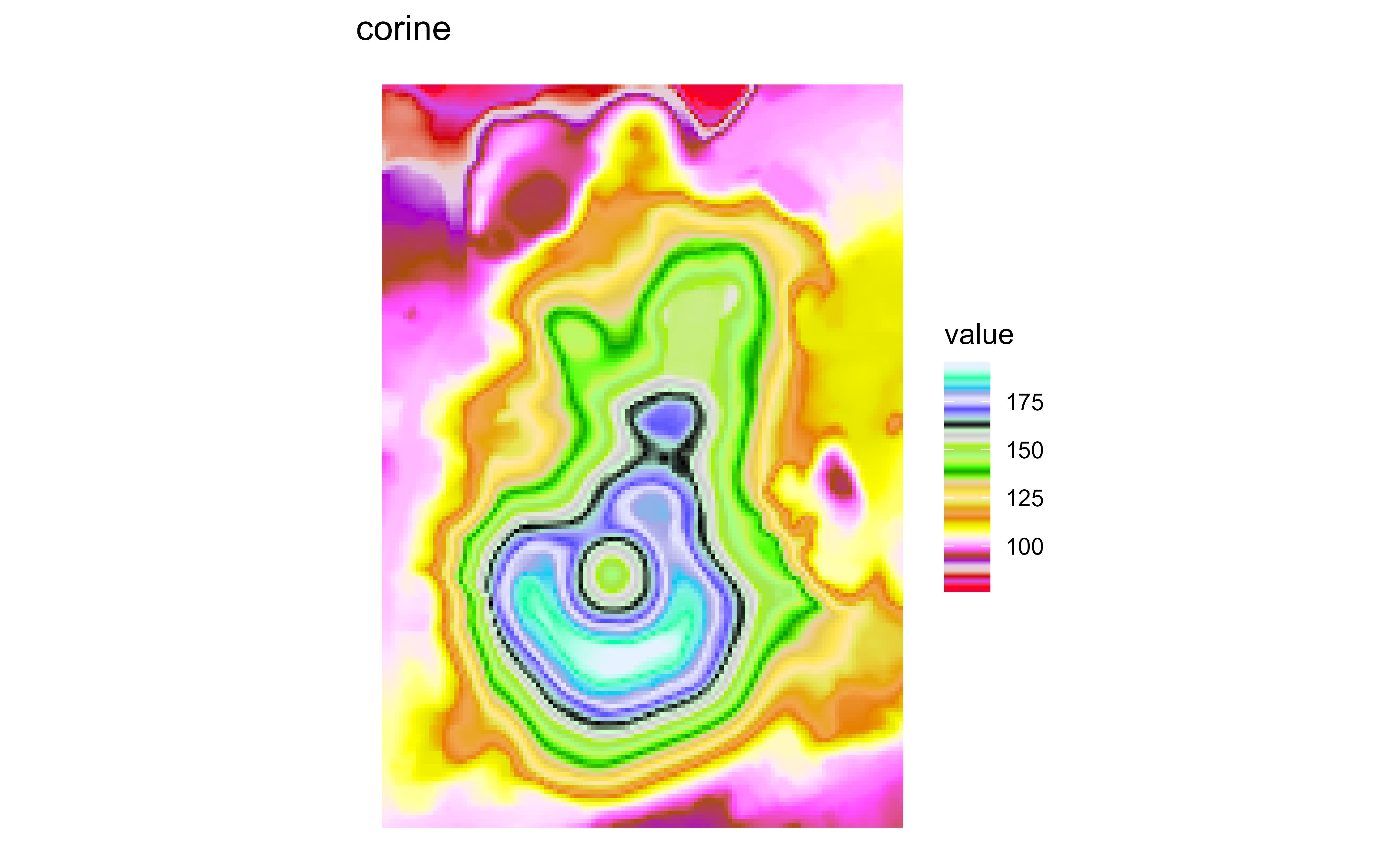
Raster map of volcanic elevation using the GRASS corine palette. Fill color encodes elevation across the volcanic terrain.

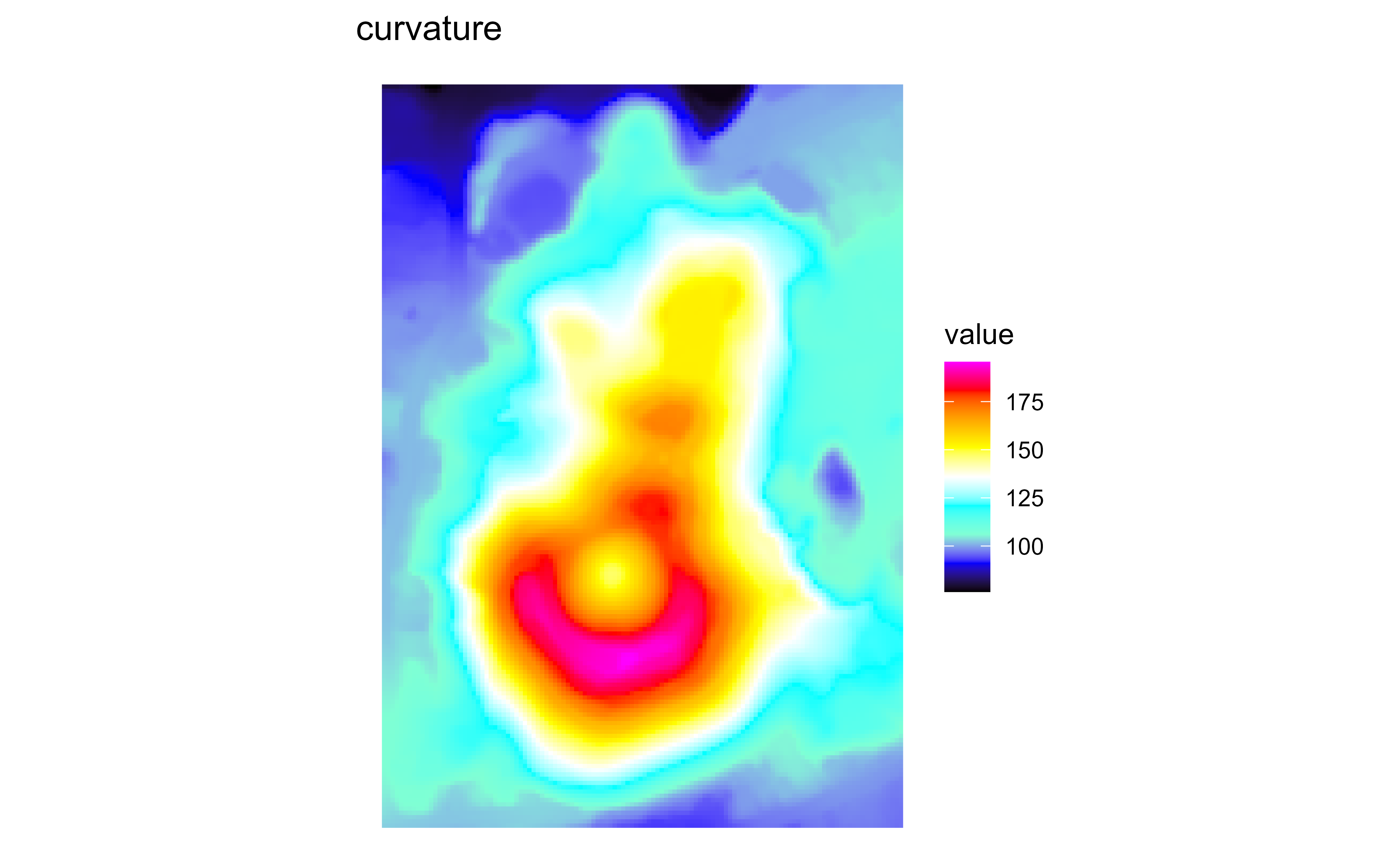
Raster map of volcanic elevation using the GRASS curvature palette. Fill color encodes elevation across the volcanic terrain.

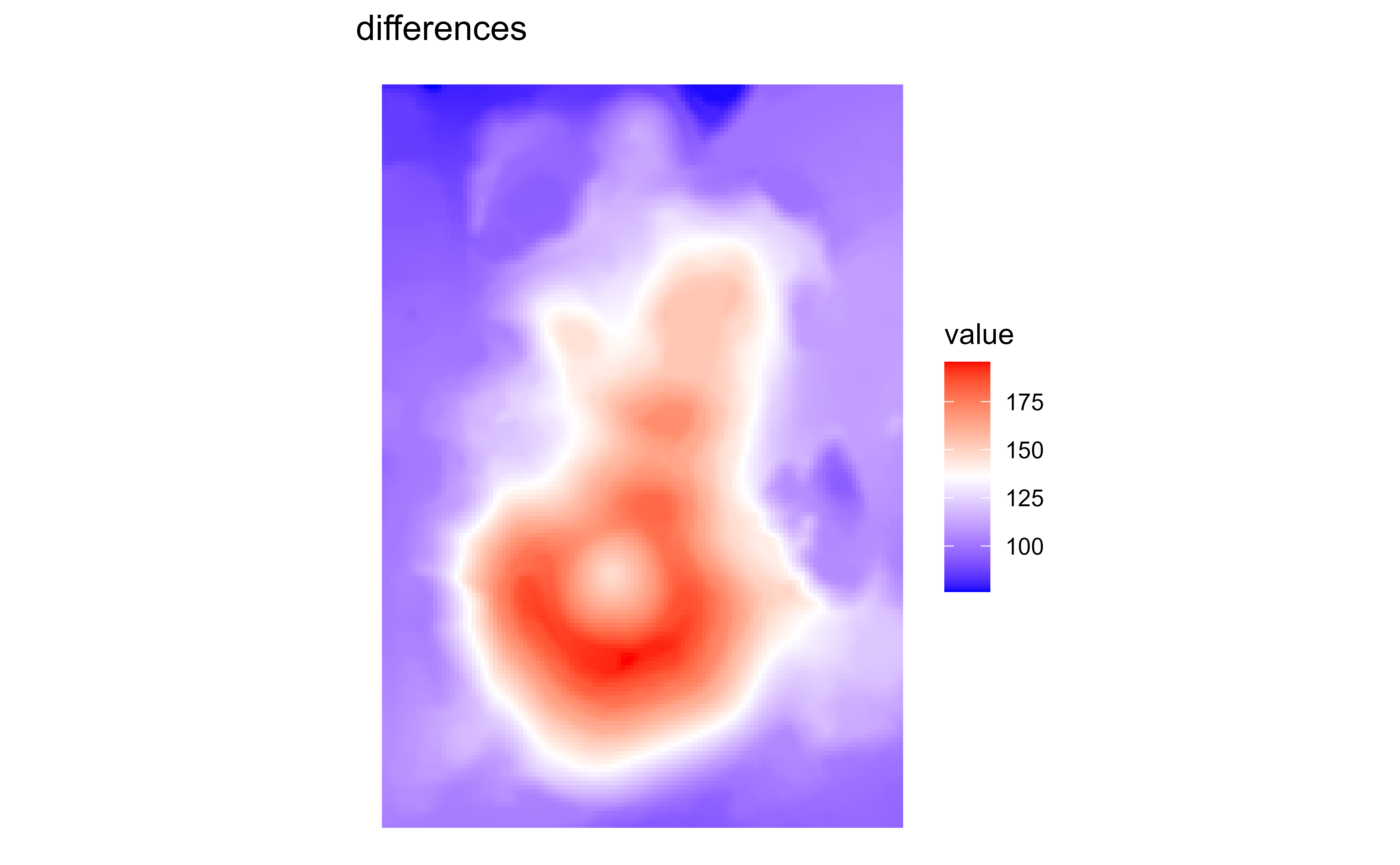
Raster map of volcanic elevation using the GRASS differences palette. Fill color encodes elevation across the volcanic terrain.

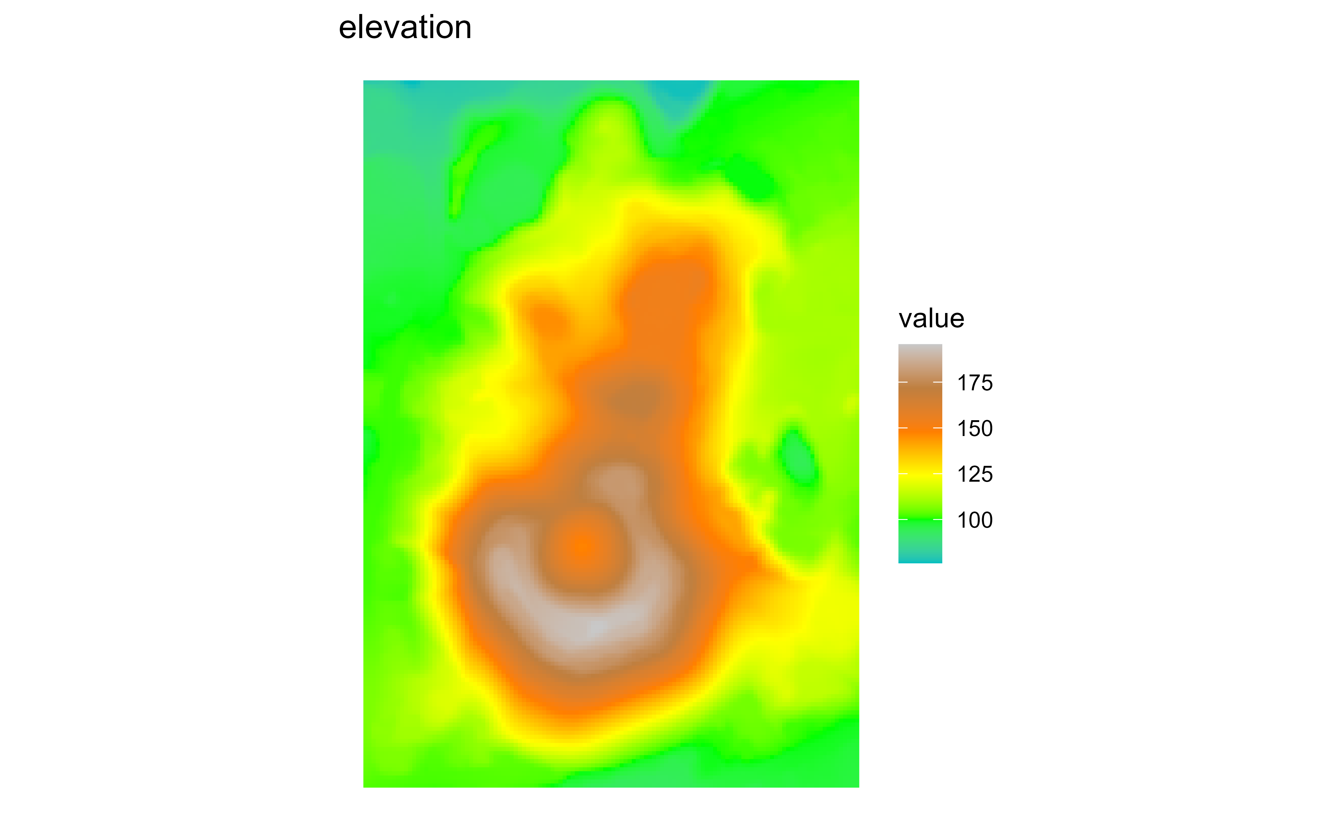
Raster map of volcanic elevation using the GRASS elevation palette. Fill color encodes elevation across the volcanic terrain.

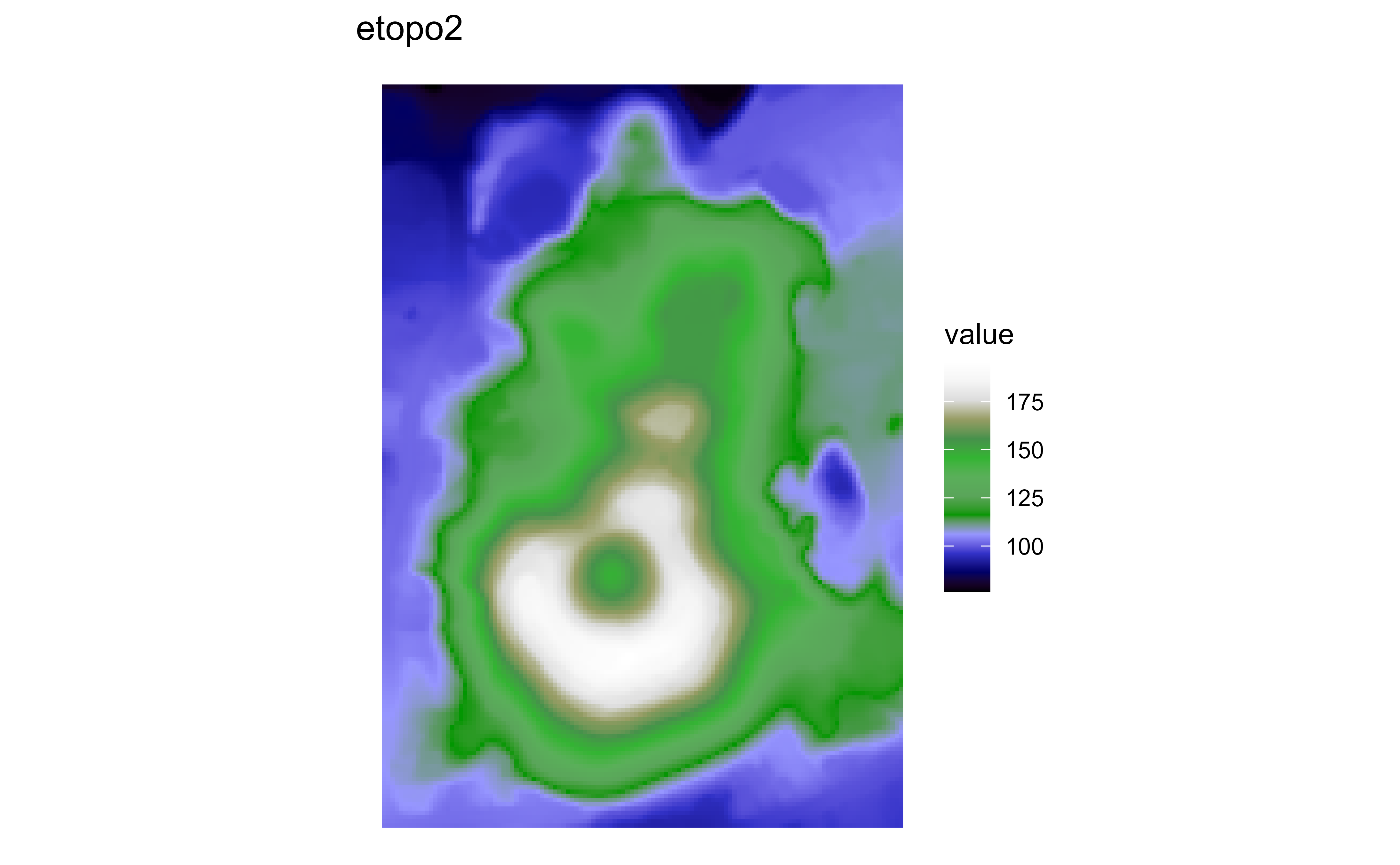
Raster map of volcanic elevation using the GRASS etopo2 palette. Fill color encodes elevation across the volcanic terrain.

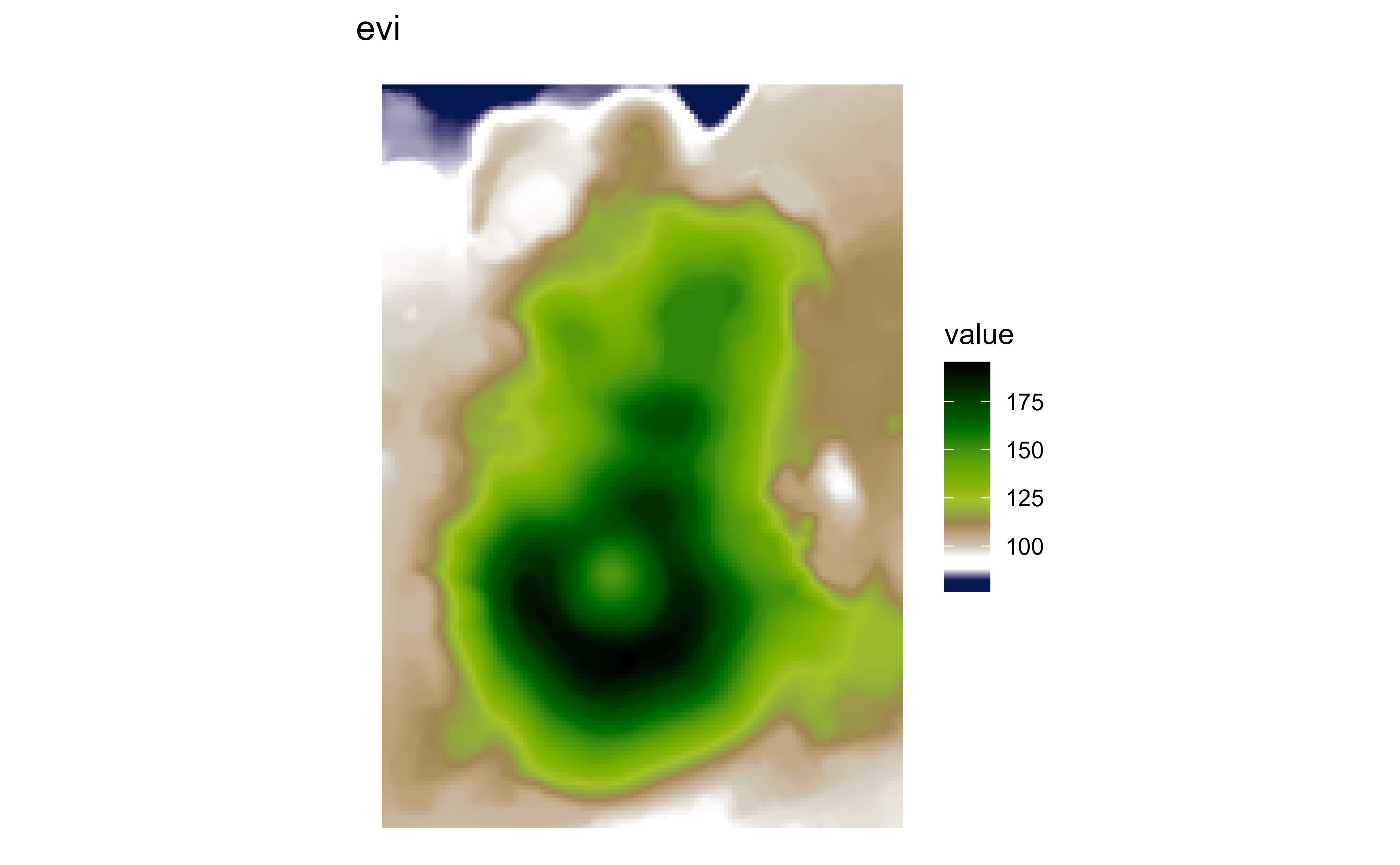
Raster map of volcanic elevation using the GRASS evi palette. Fill color encodes elevation across the volcanic terrain.

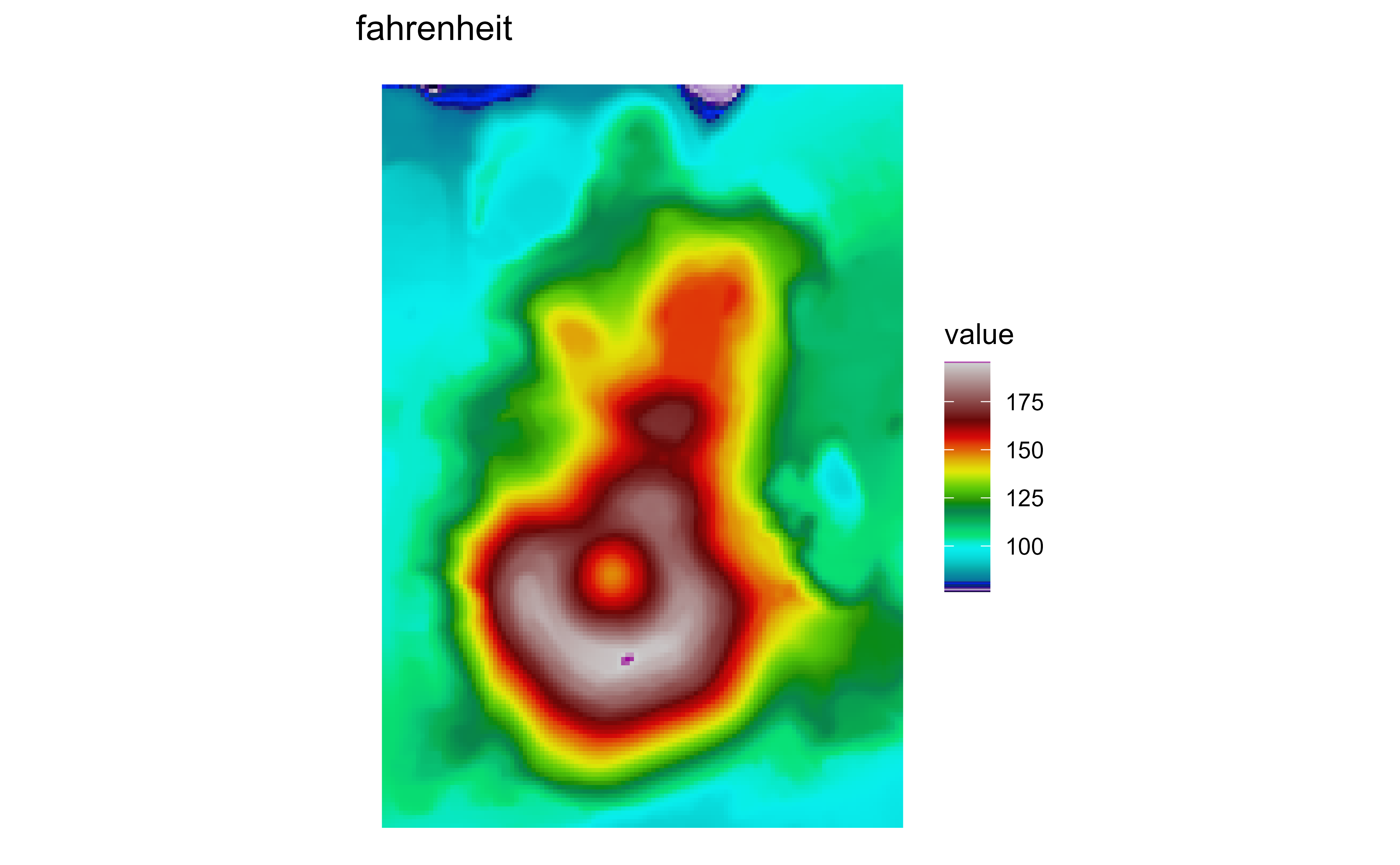
Raster map of volcanic elevation using the GRASS fahrenheit palette. Fill color encodes elevation across the volcanic terrain.

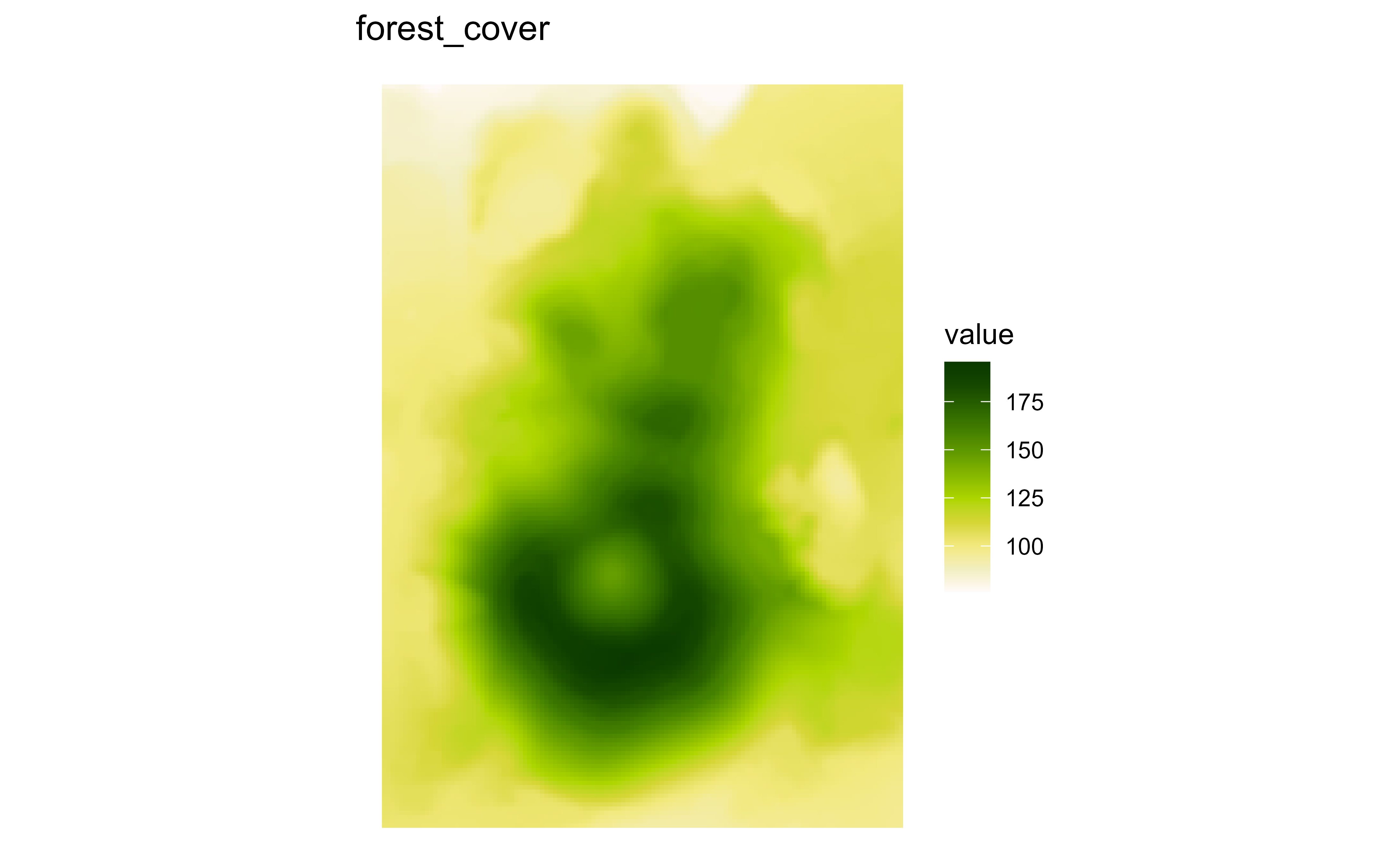
Raster map of volcanic elevation using the GRASS forest_cover palette. Fill color encodes elevation across the volcanic terrain.

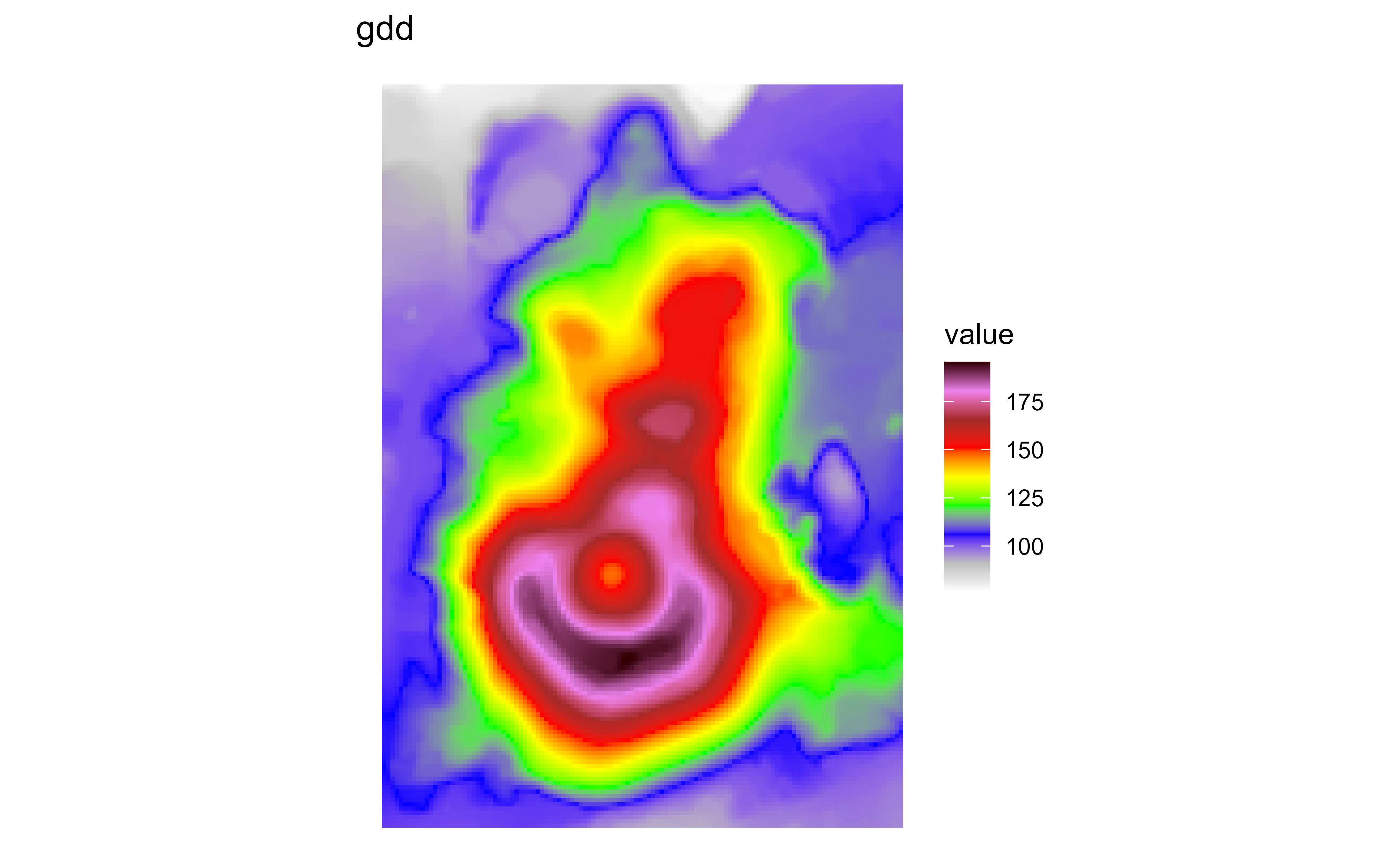
Raster map of volcanic elevation using the GRASS gdd palette. Fill color encodes elevation across the volcanic terrain.

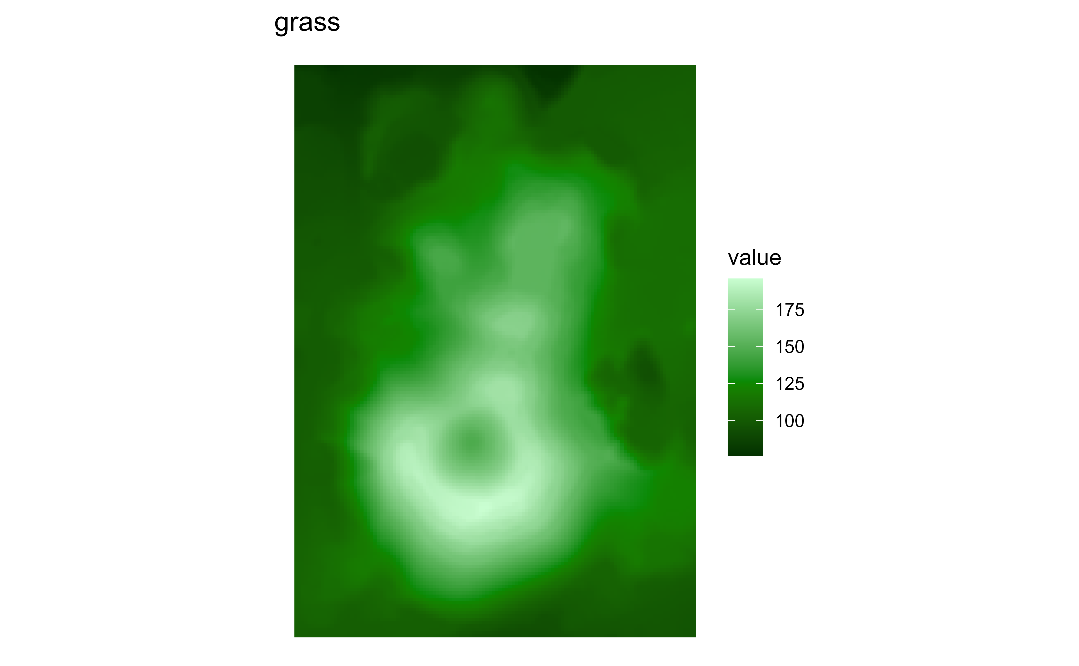
Raster map of volcanic elevation using the GRASS grass palette. Fill color encodes elevation across the volcanic terrain.

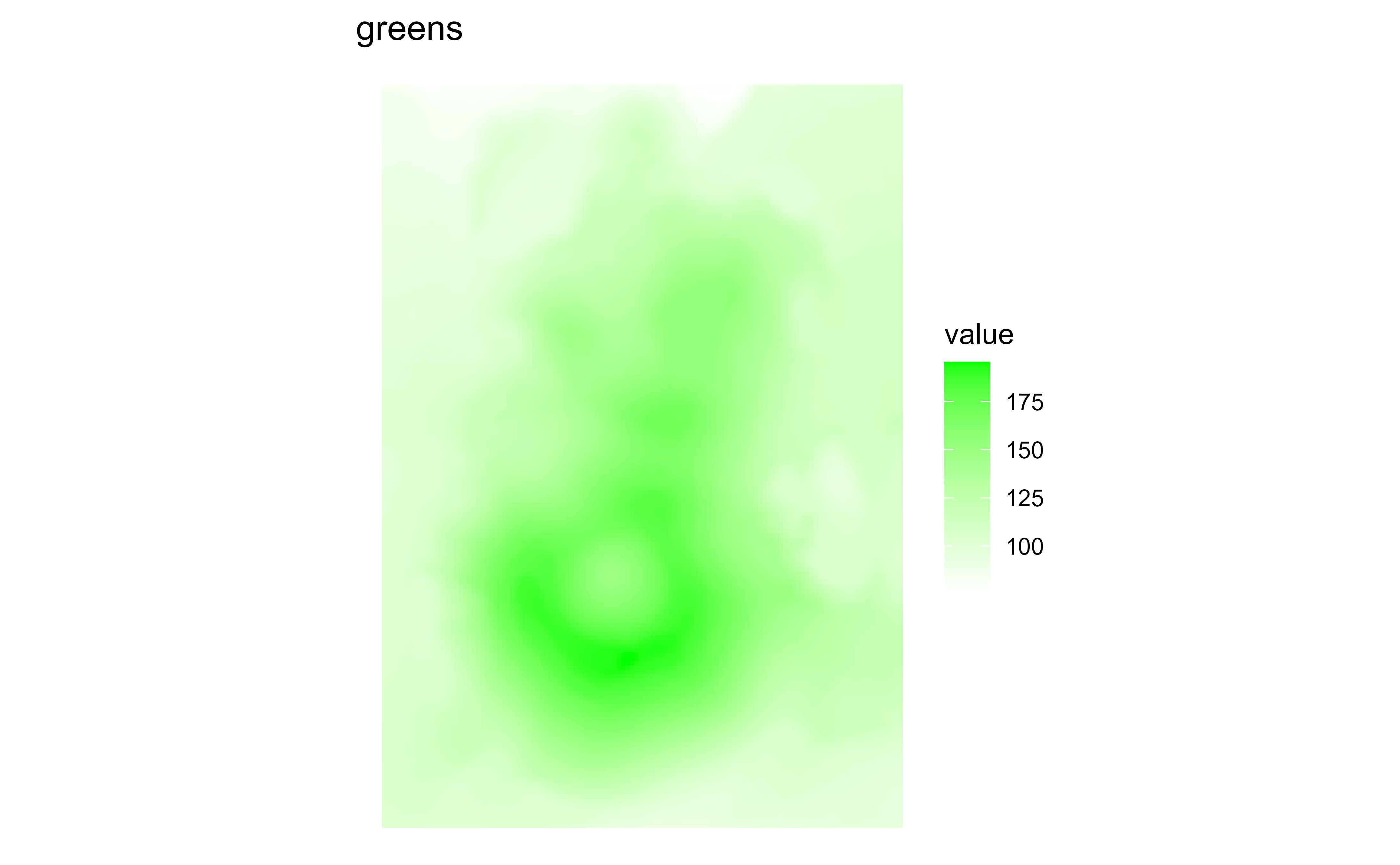
Raster map of volcanic elevation using the GRASS greens palette. Fill color encodes elevation across the volcanic terrain.

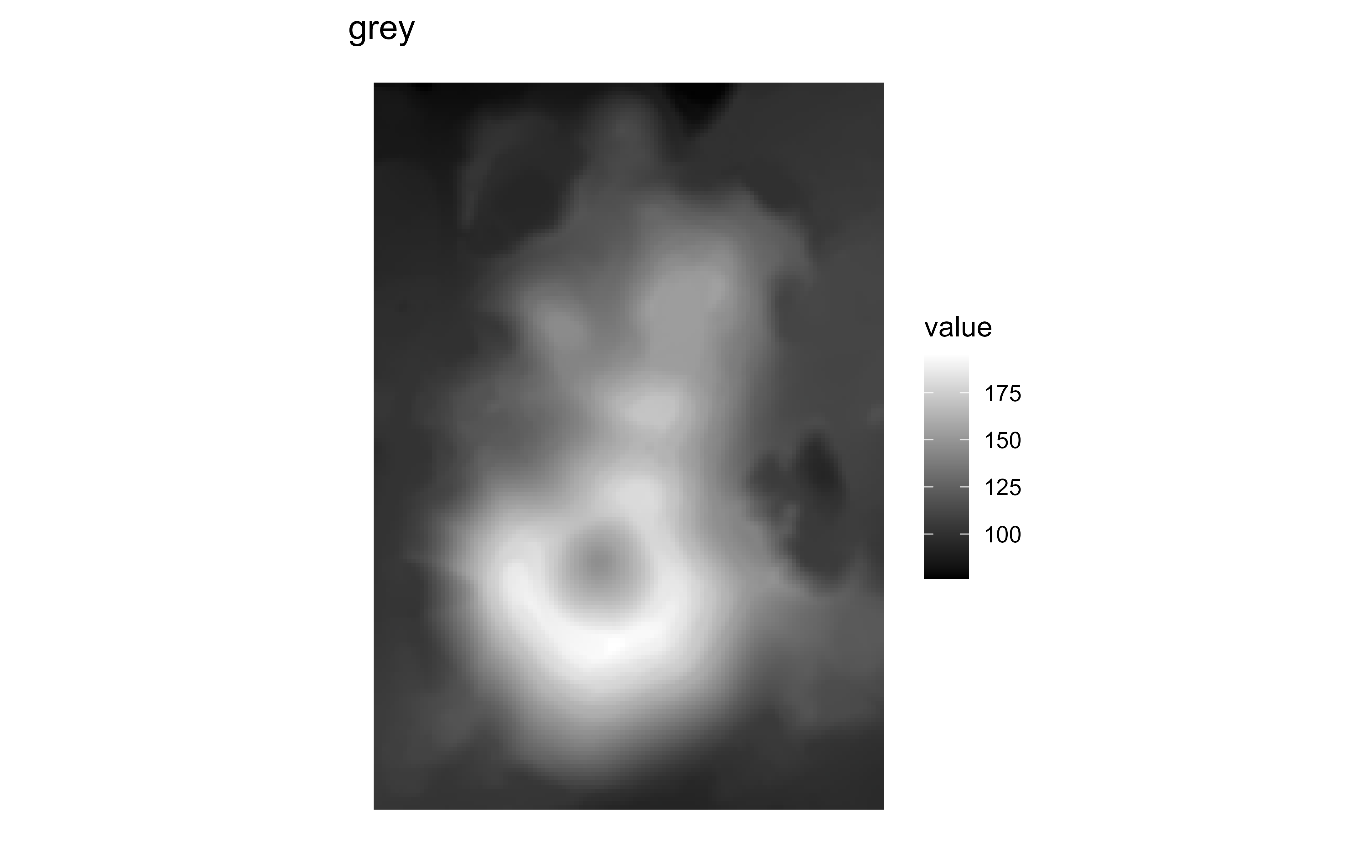
Raster map of volcanic elevation using the GRASS grey palette. Fill color encodes elevation across the volcanic terrain.

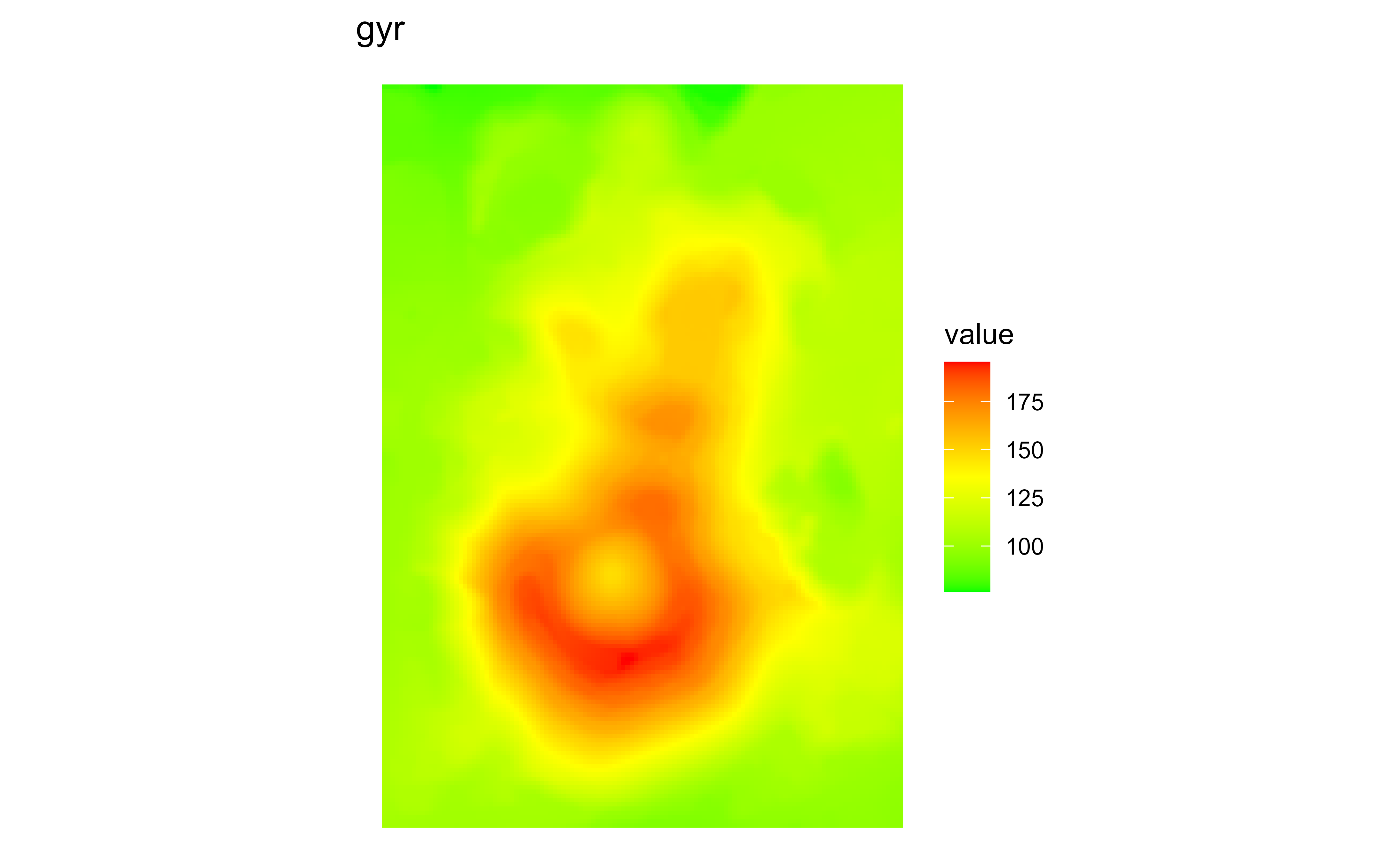
Raster map of volcanic elevation using the GRASS gyr palette. Fill color encodes elevation across the volcanic terrain.

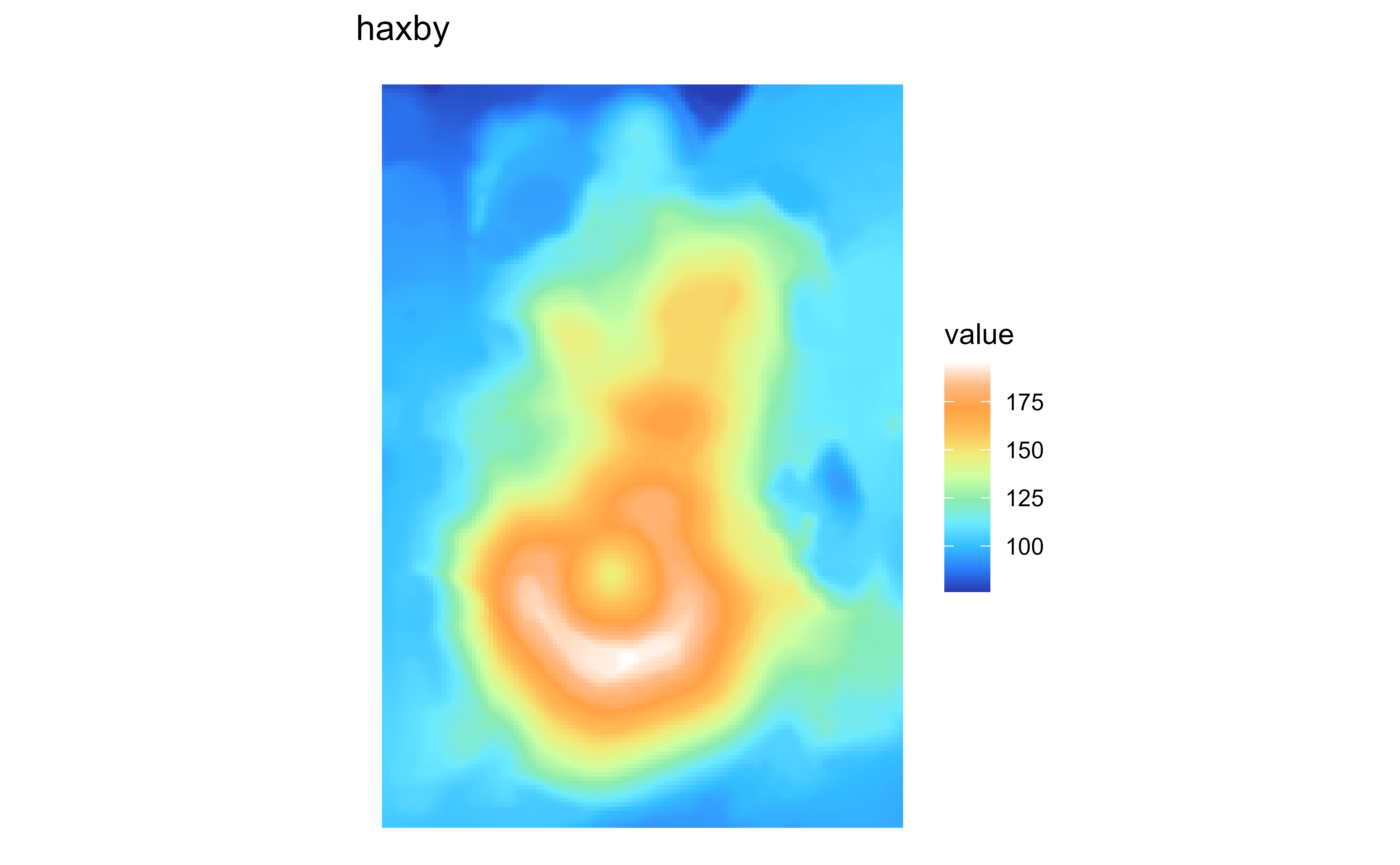
Raster map of volcanic elevation using the GRASS haxby palette. Fill color encodes elevation across the volcanic terrain.

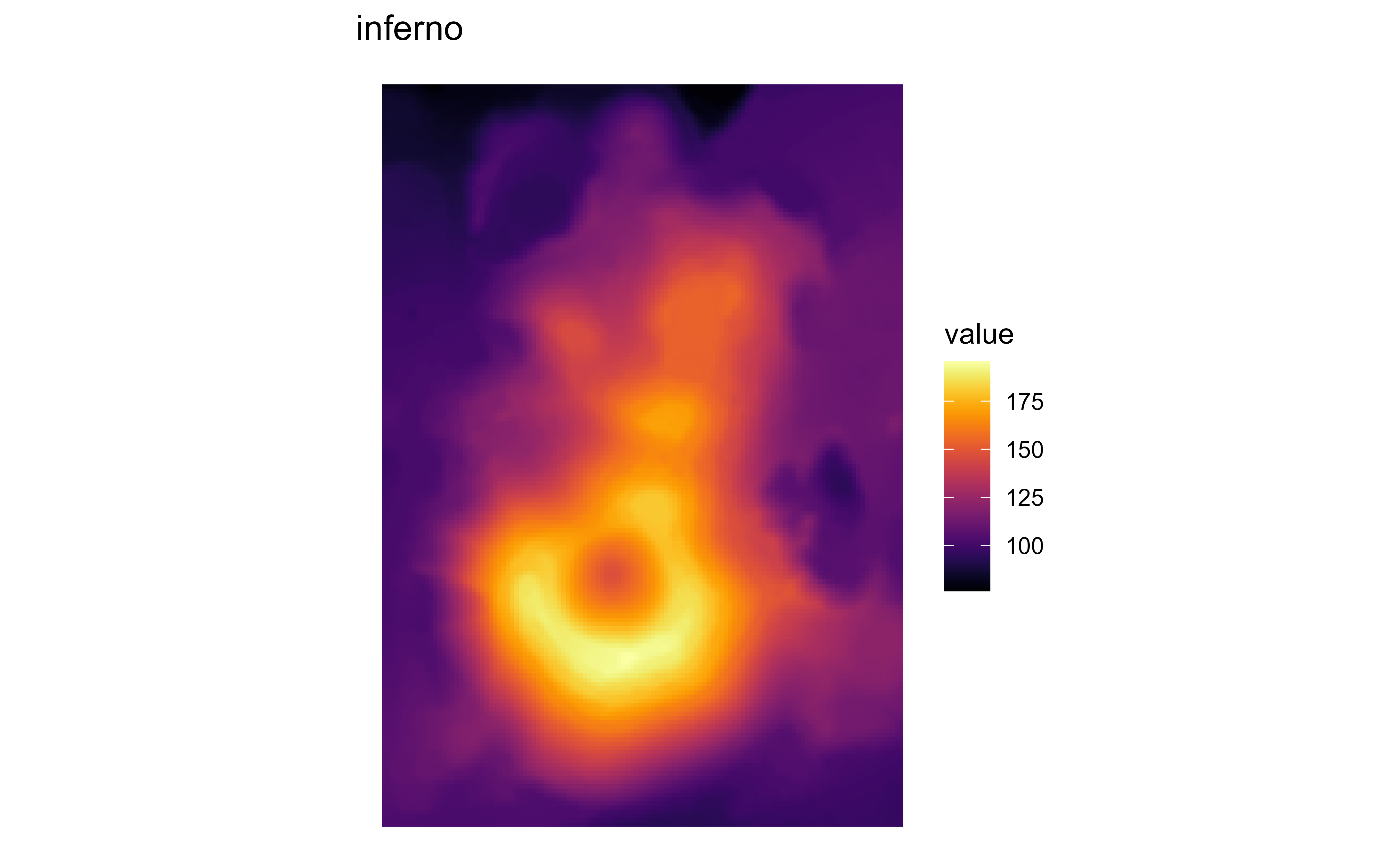
Raster map of volcanic elevation using the GRASS inferno palette. Fill color encodes elevation across the volcanic terrain.

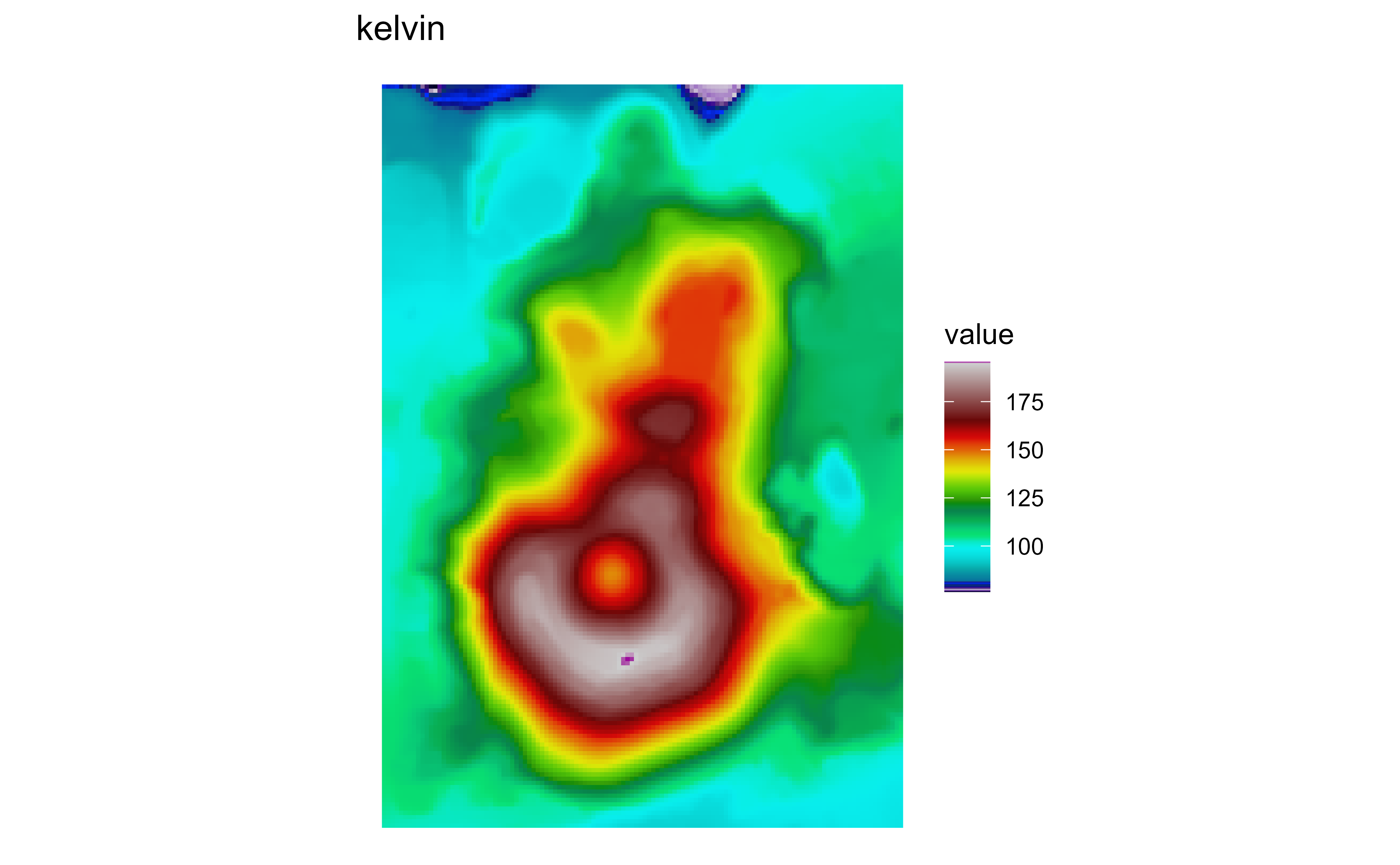
Raster map of volcanic elevation using the GRASS kelvin palette. Fill color encodes elevation across the volcanic terrain.

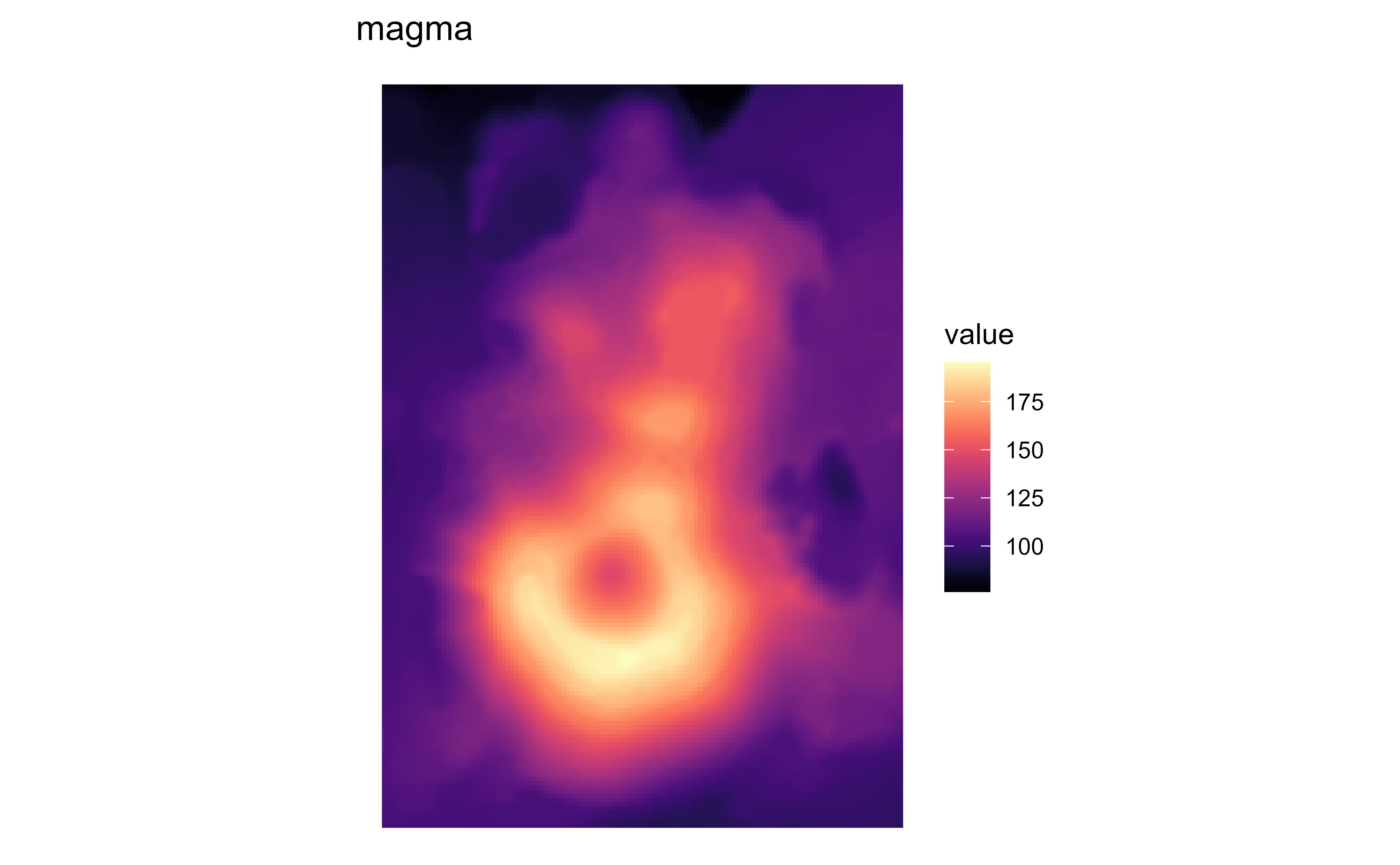
Raster map of volcanic elevation using the GRASS magma palette. Fill color encodes elevation across the volcanic terrain.

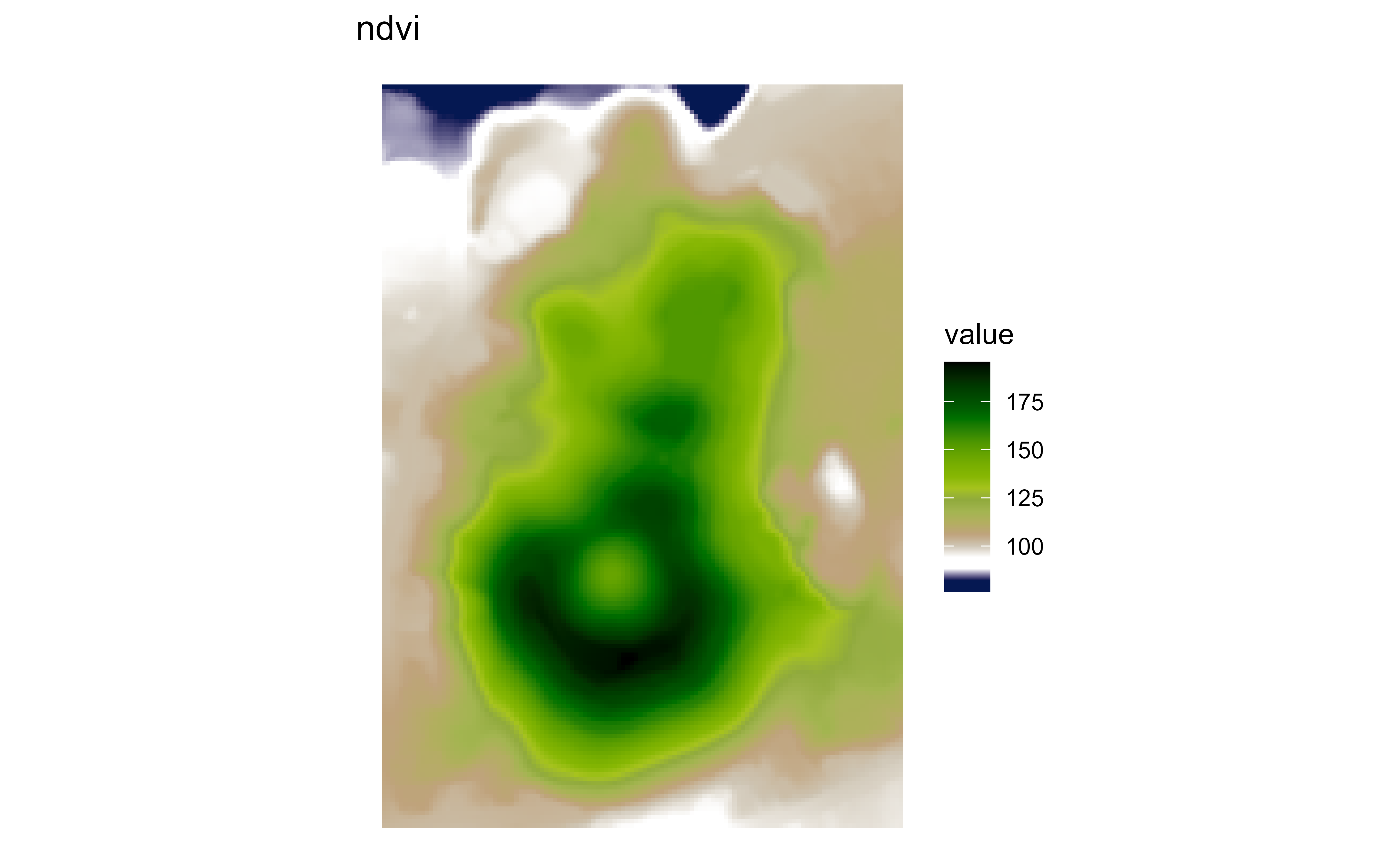
Raster map of volcanic elevation using the GRASS ndvi palette. Fill color encodes elevation across the volcanic terrain.

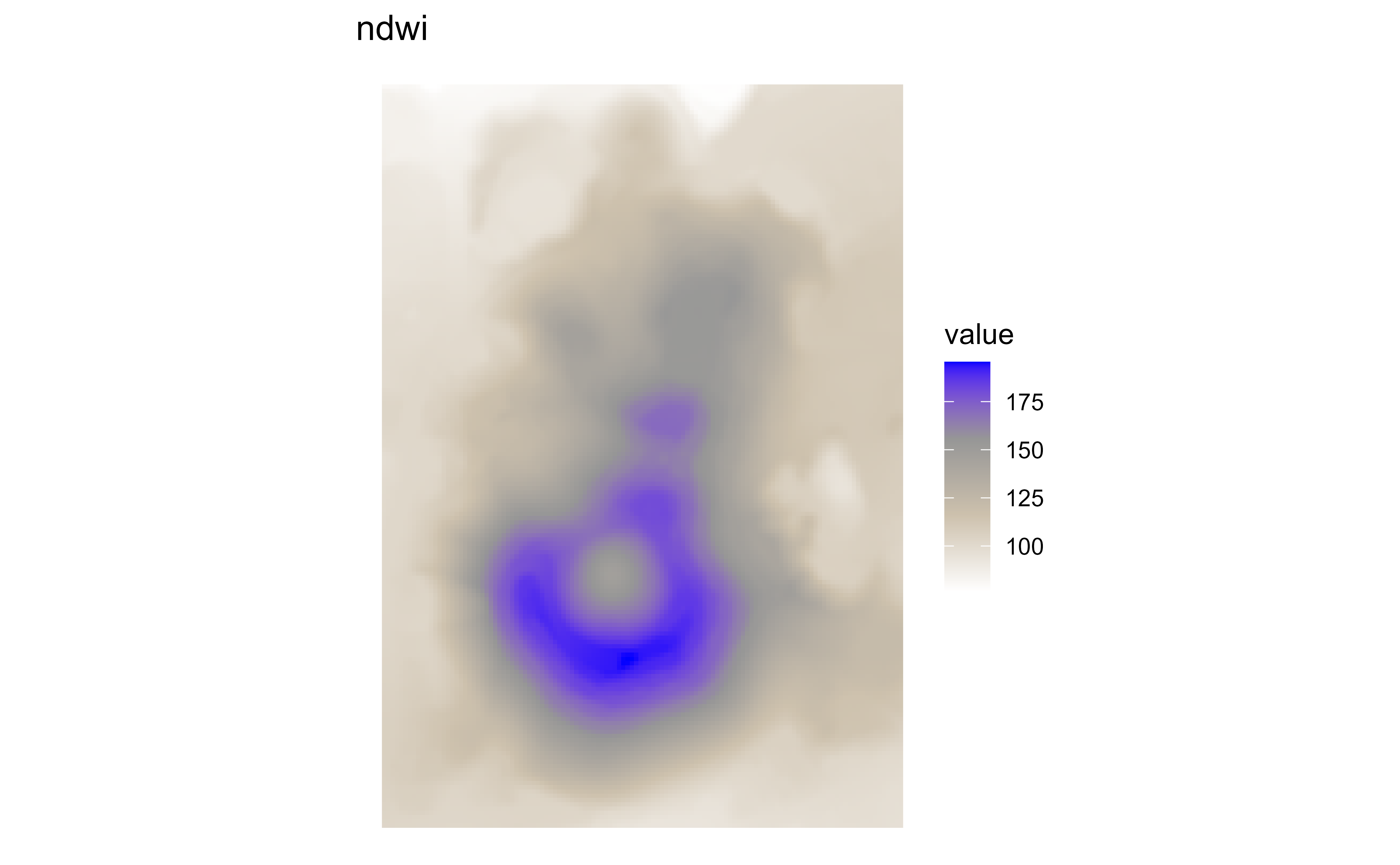
Raster map of volcanic elevation using the GRASS ndwi palette. Fill color encodes elevation across the volcanic terrain.

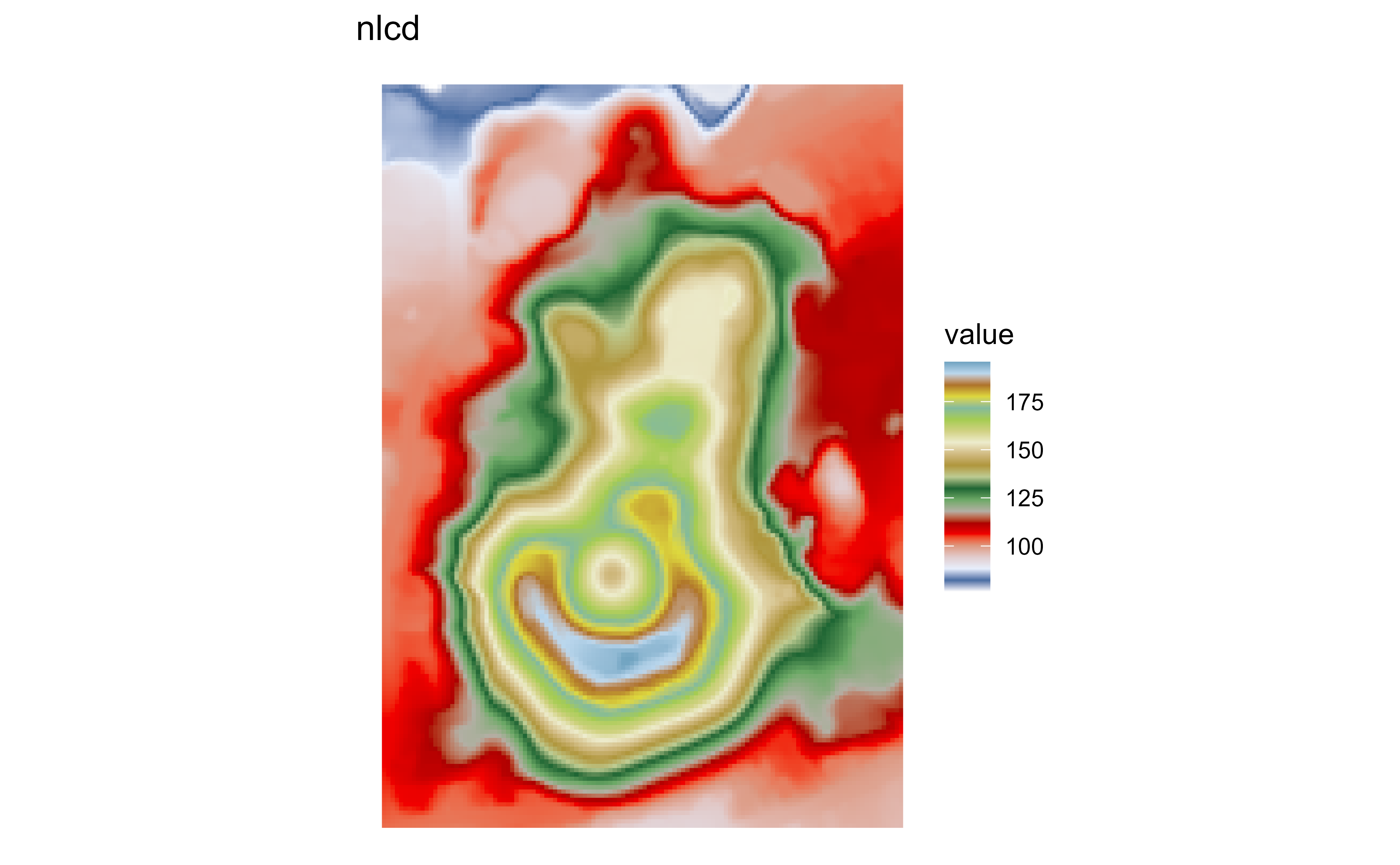
Raster map of volcanic elevation using the GRASS nlcd palette. Fill color encodes elevation across the volcanic terrain.

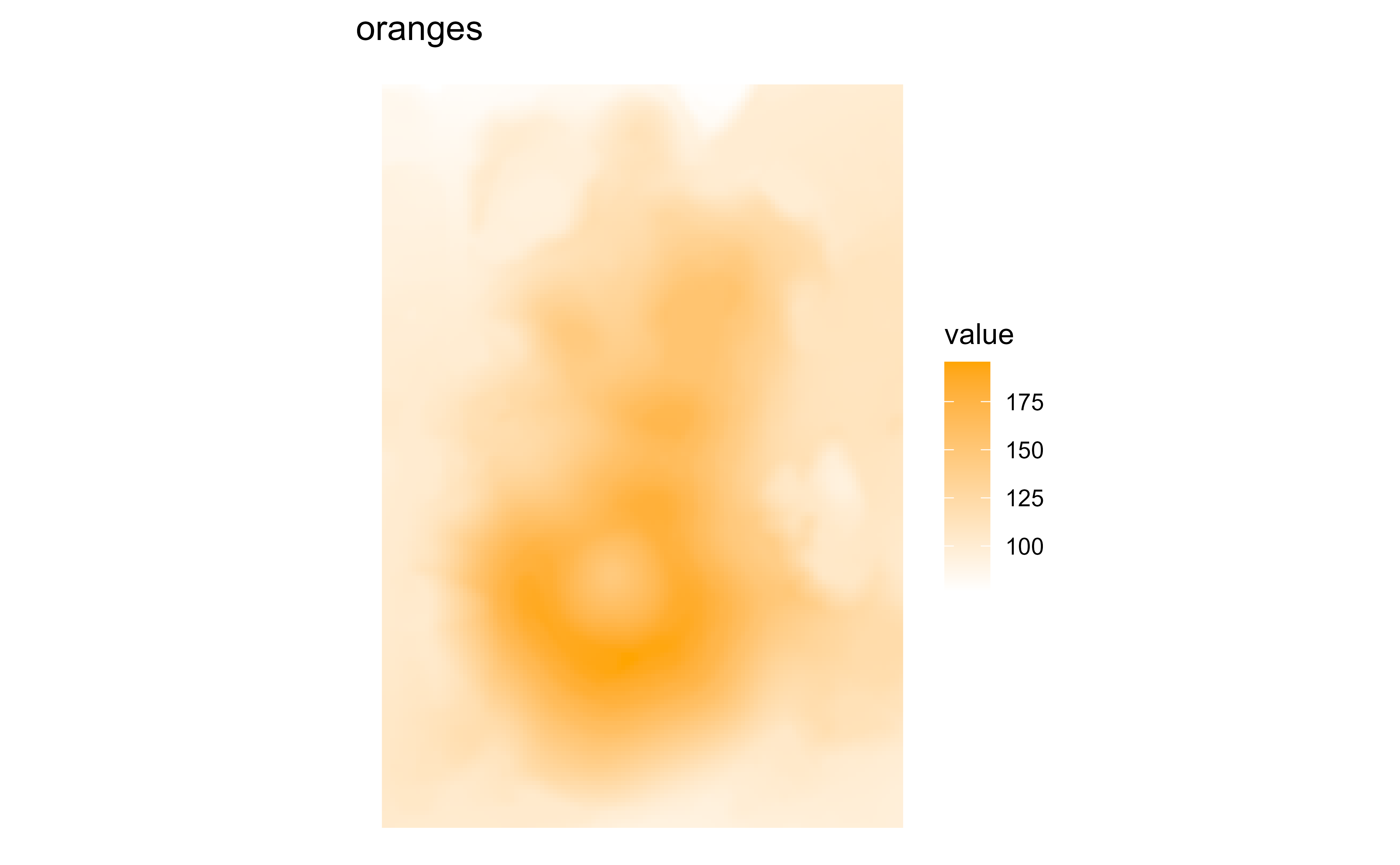
Raster map of volcanic elevation using the GRASS oranges palette. Fill color encodes elevation across the volcanic terrain.

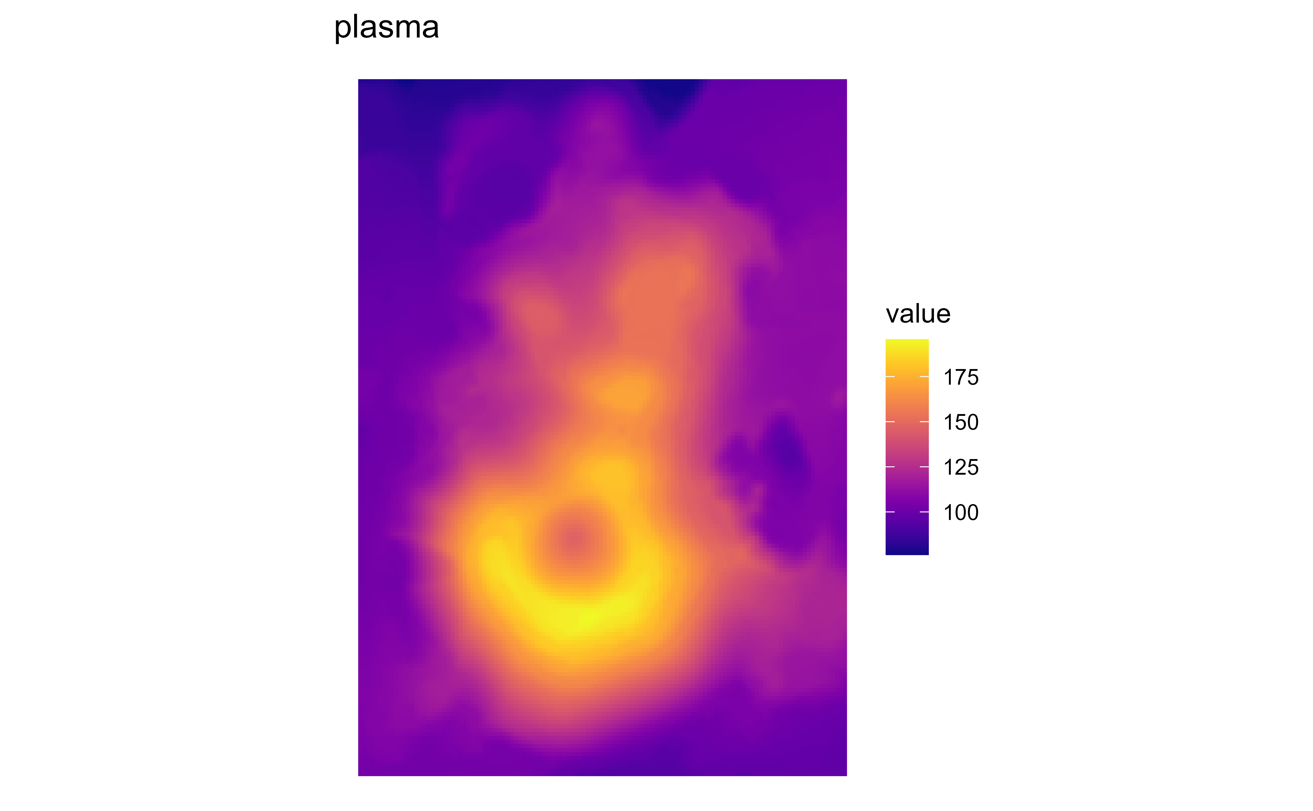
Raster map of volcanic elevation using the GRASS plasma palette. Fill color encodes elevation across the volcanic terrain.

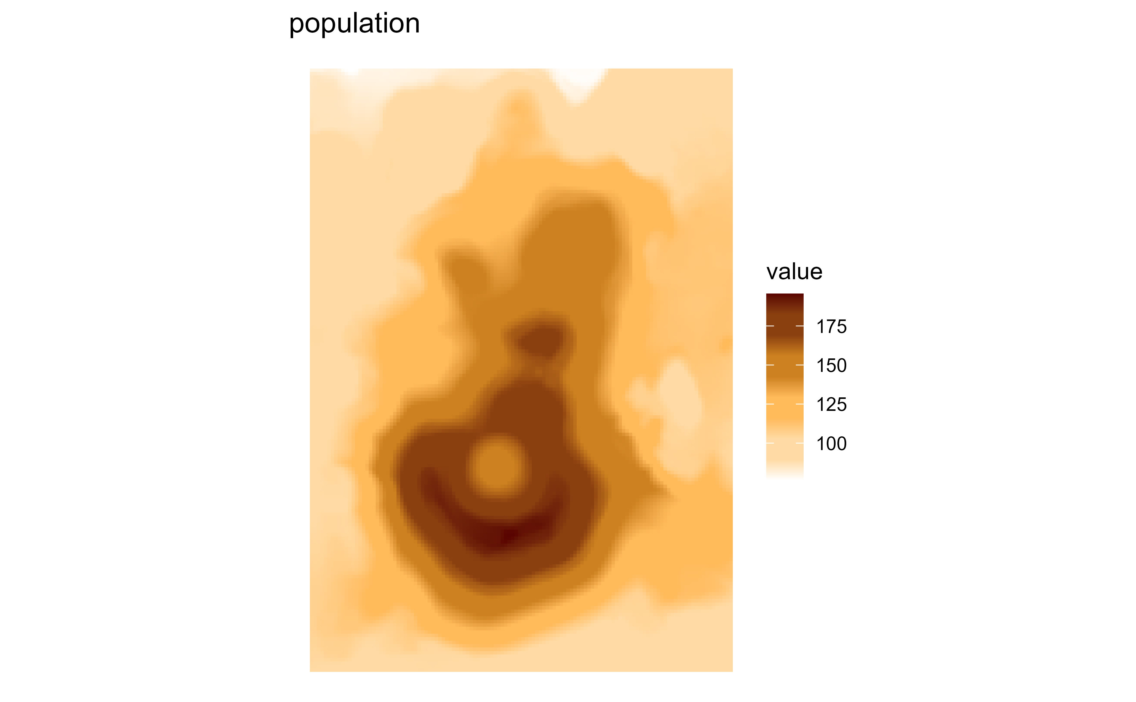
Raster map of volcanic elevation using the GRASS population palette. Fill color encodes elevation across the volcanic terrain.

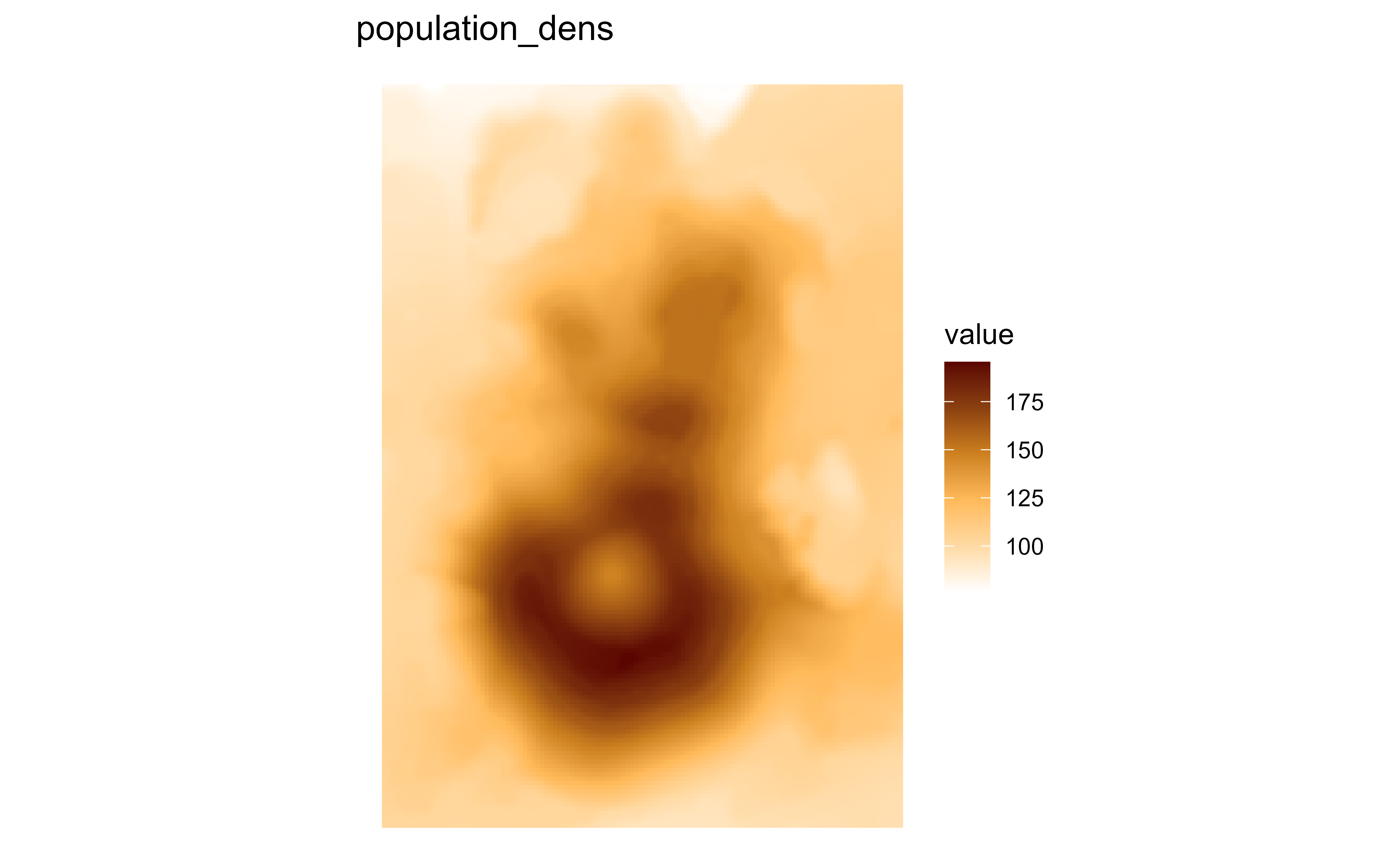
Raster map of volcanic elevation using the GRASS population_dens palette. Fill color encodes elevation across the volcanic terrain.

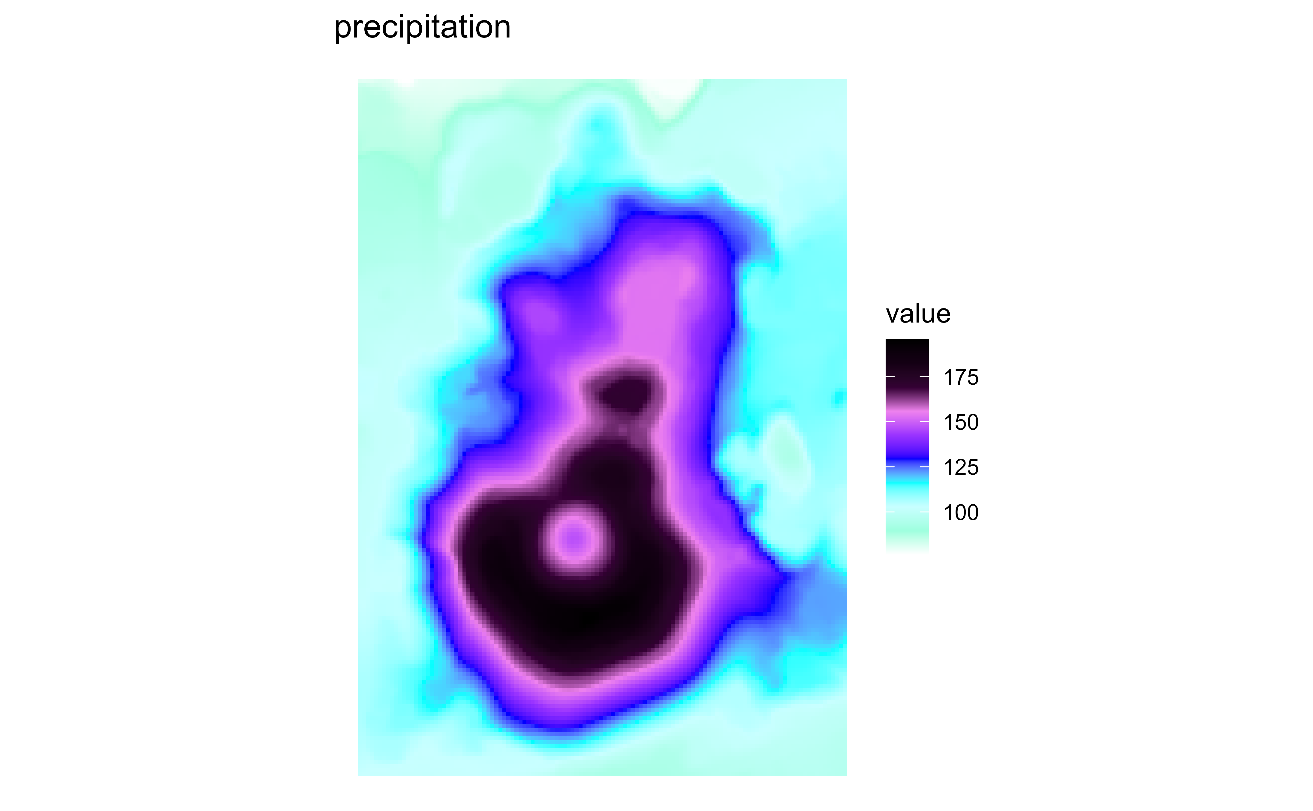
Raster map of volcanic elevation using the GRASS precipitation palette. Fill color encodes elevation across the volcanic terrain.

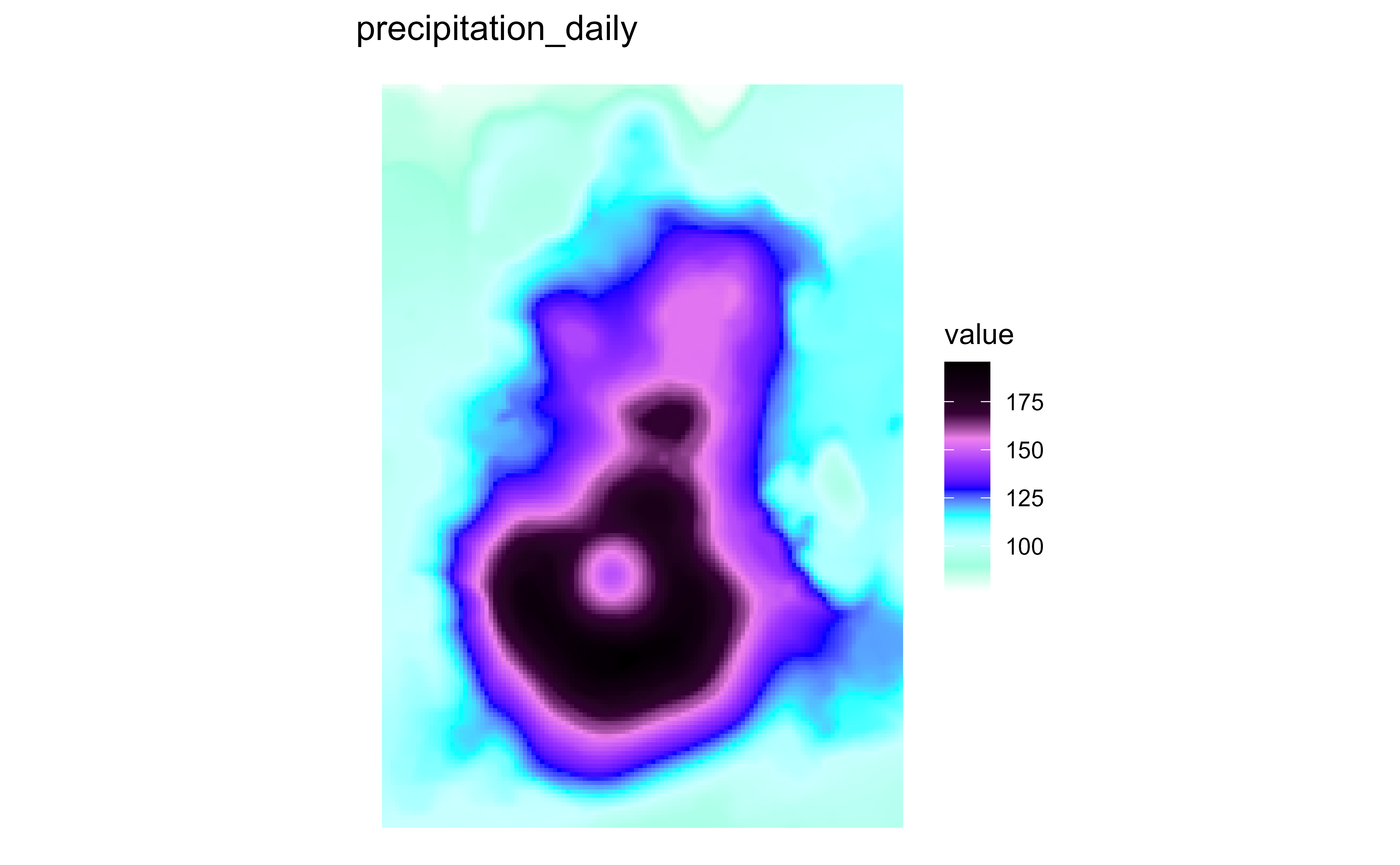
Raster map of volcanic elevation using the GRASS precipitation_daily palette. Fill color encodes elevation across the volcanic terrain.

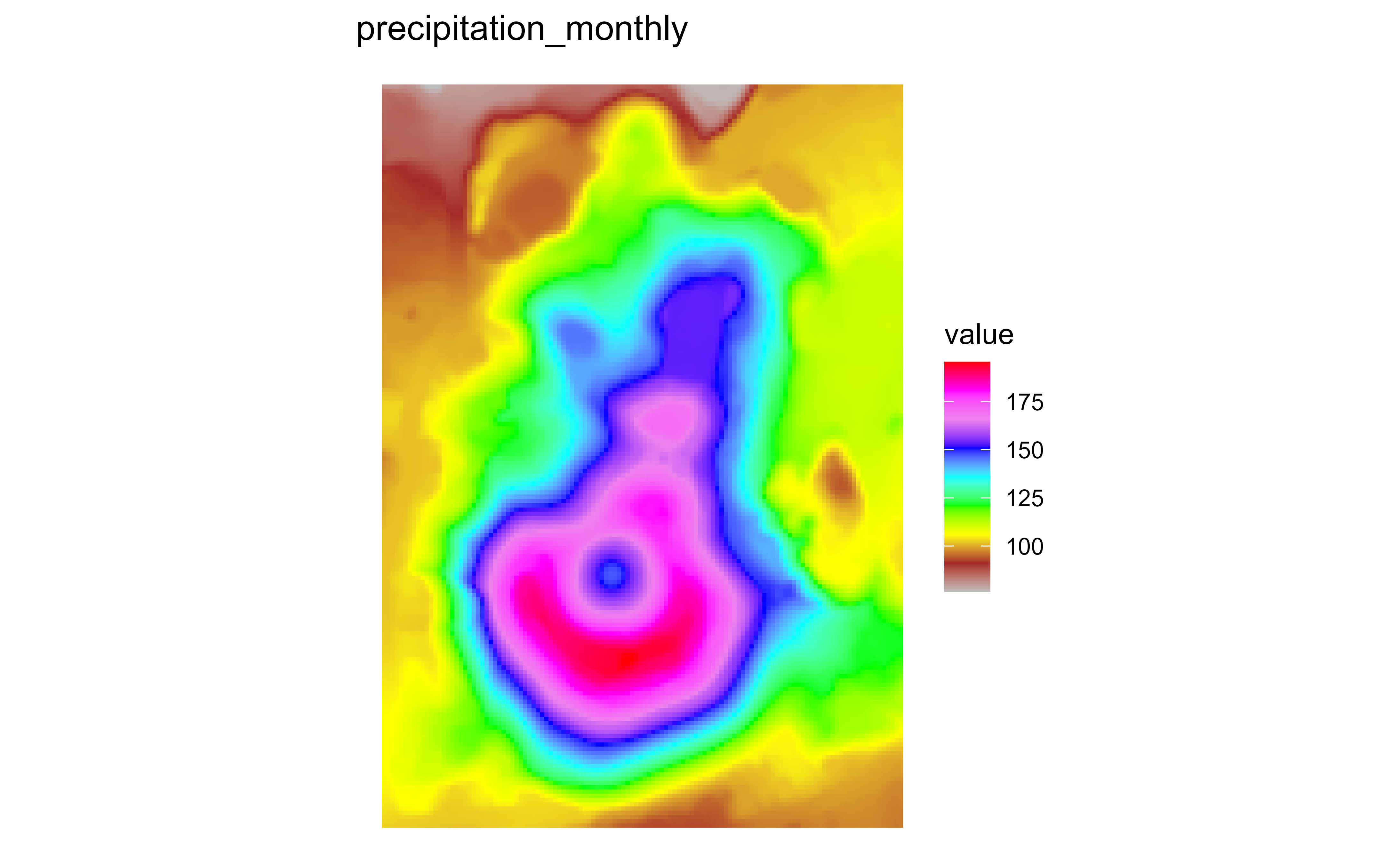
Raster map of volcanic elevation using the GRASS precipitation_monthly palette. Fill color encodes elevation across the volcanic terrain.

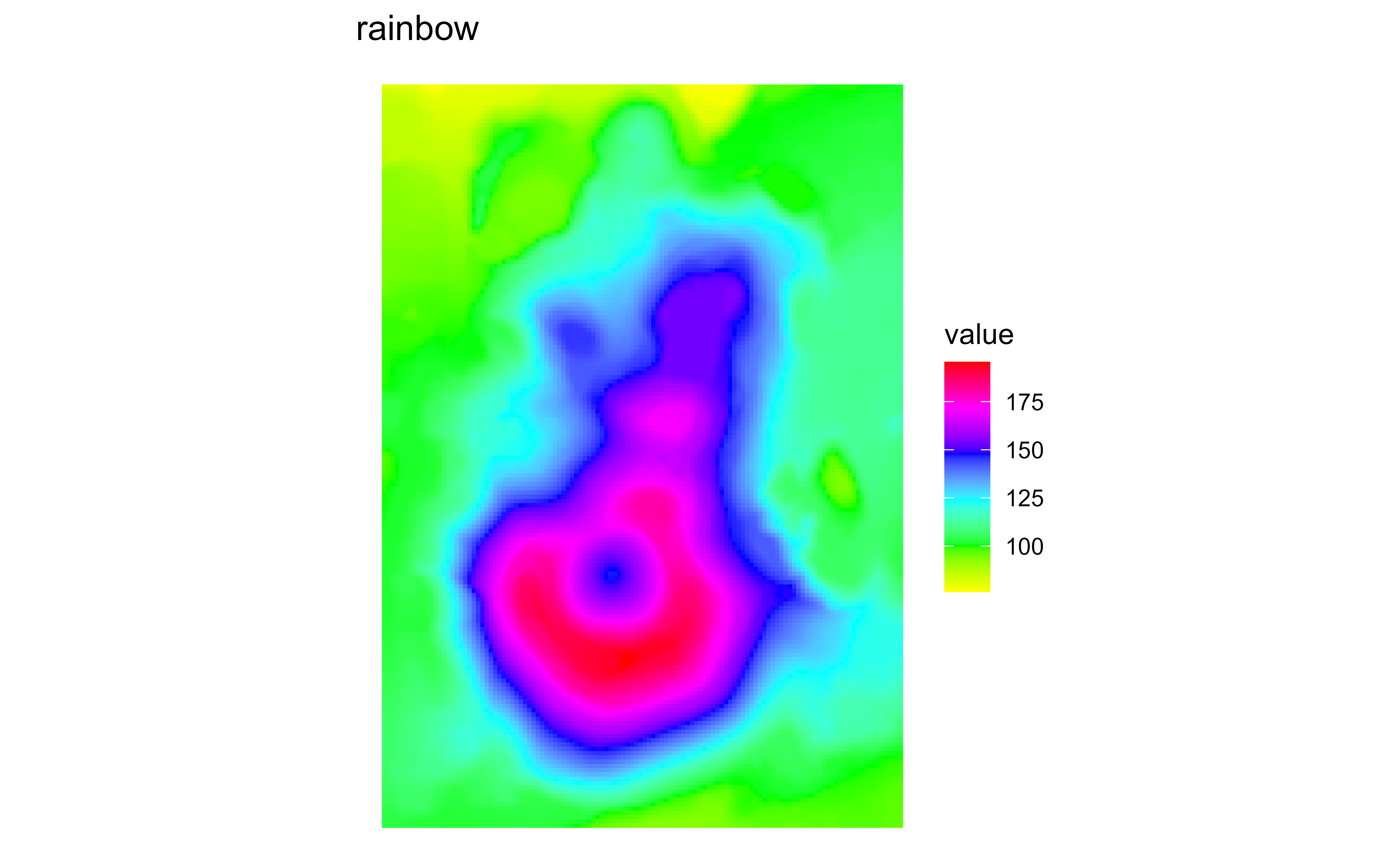
Raster map of volcanic elevation using the GRASS rainbow palette. Fill color encodes elevation across the volcanic terrain.

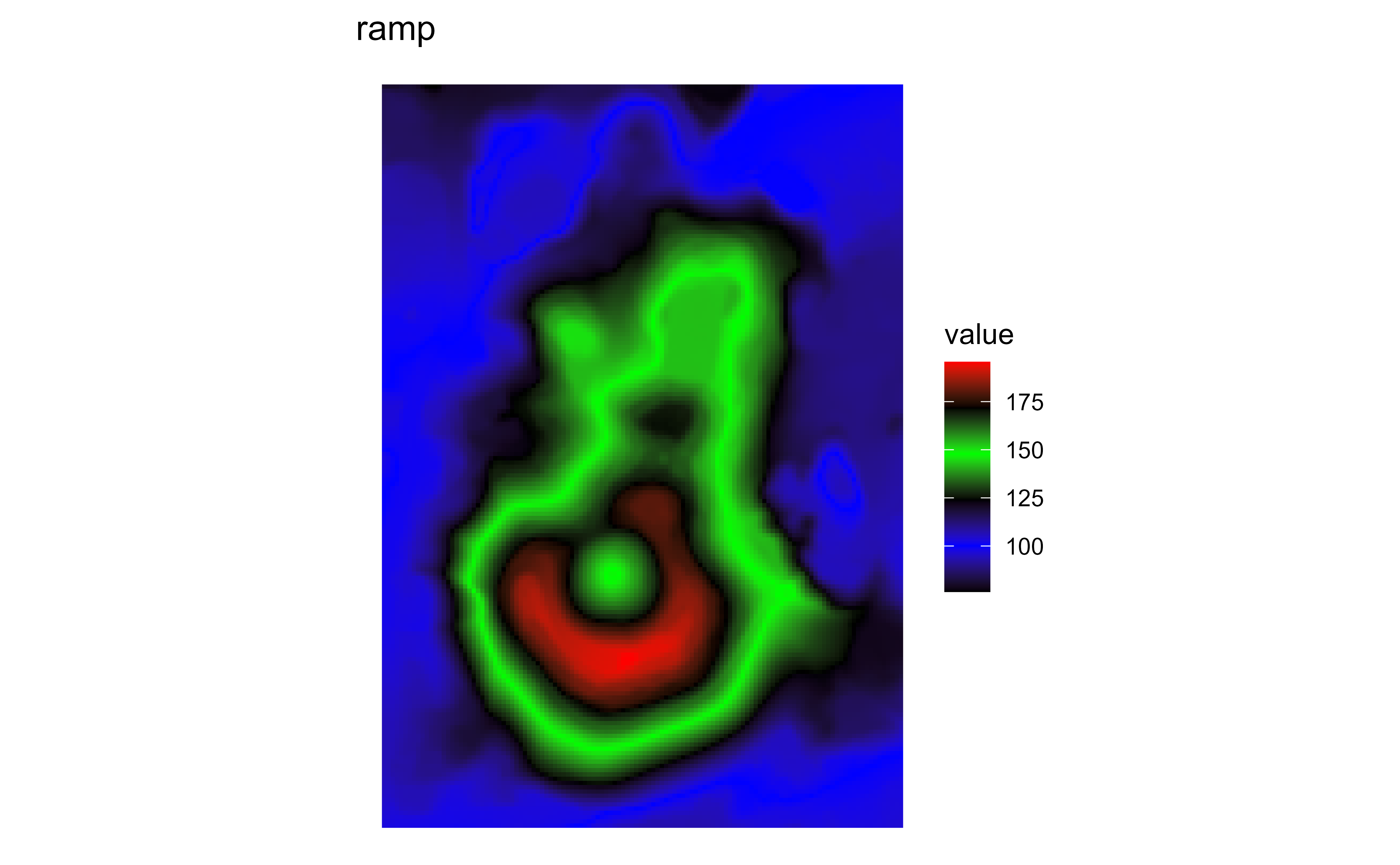
Raster map of volcanic elevation using the GRASS ramp palette. Fill color encodes elevation across the volcanic terrain.

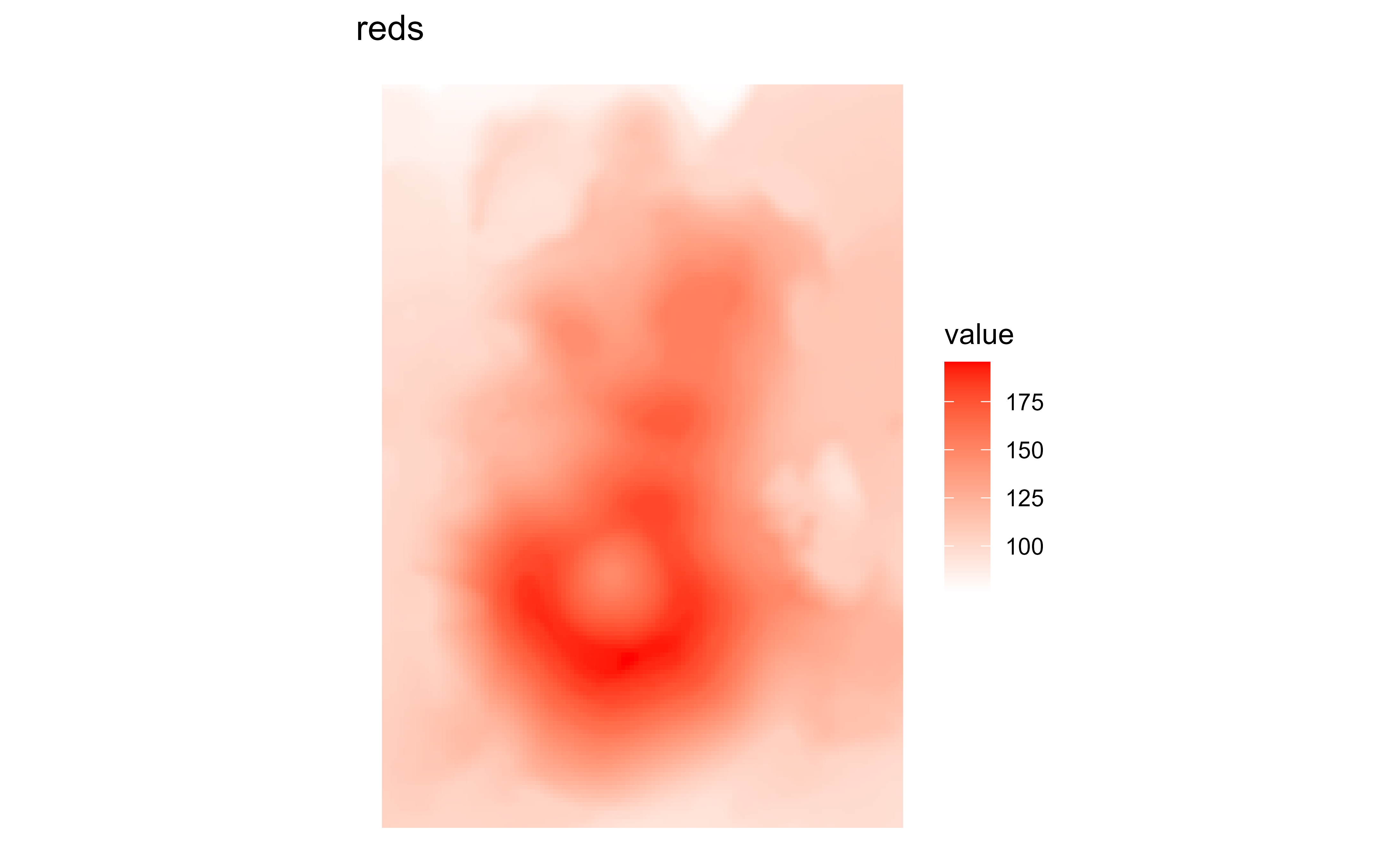
Raster map of volcanic elevation using the GRASS reds palette. Fill color encodes elevation across the volcanic terrain.

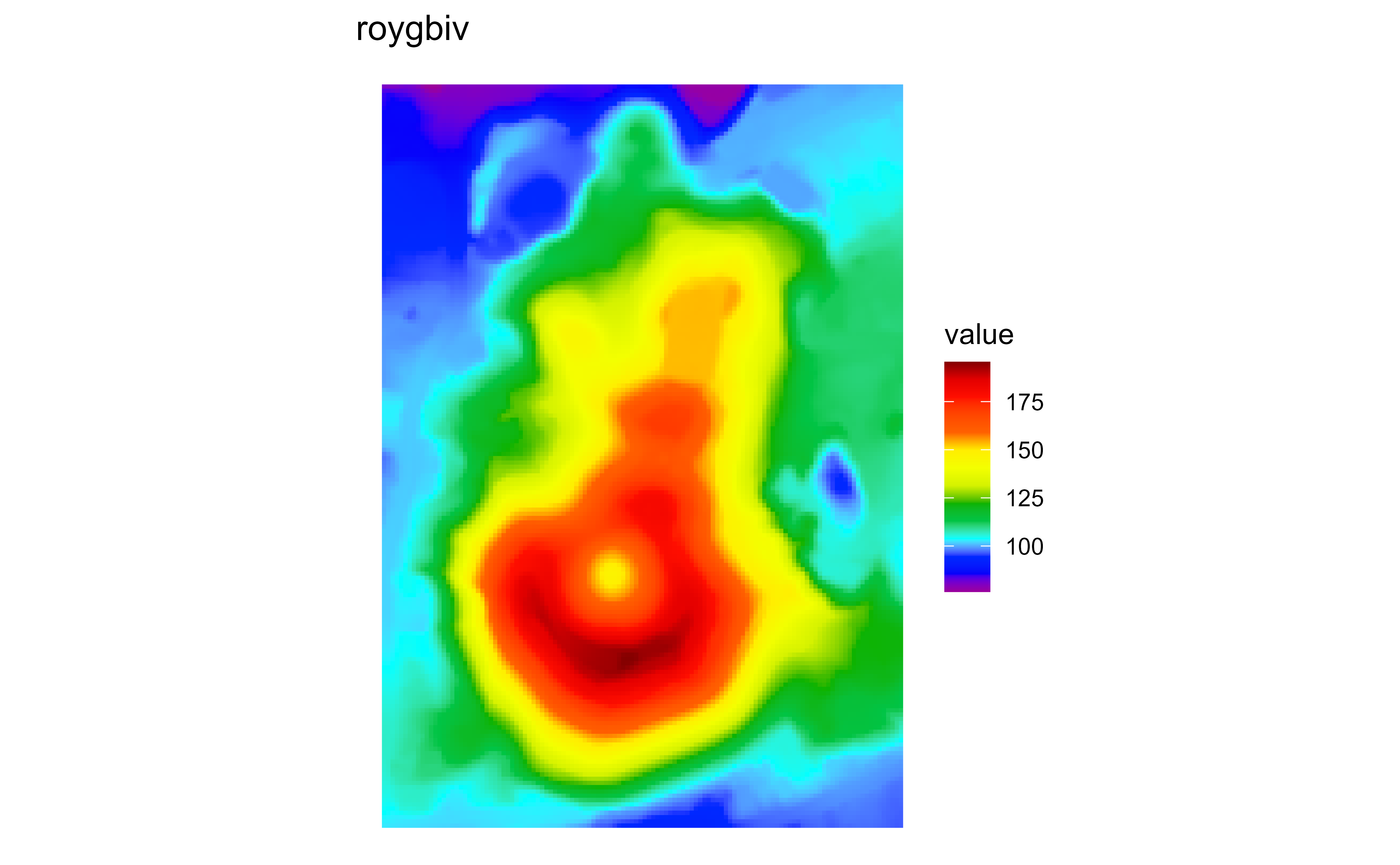
Raster map of volcanic elevation using the GRASS roygbiv palette. Fill color encodes elevation across the volcanic terrain.

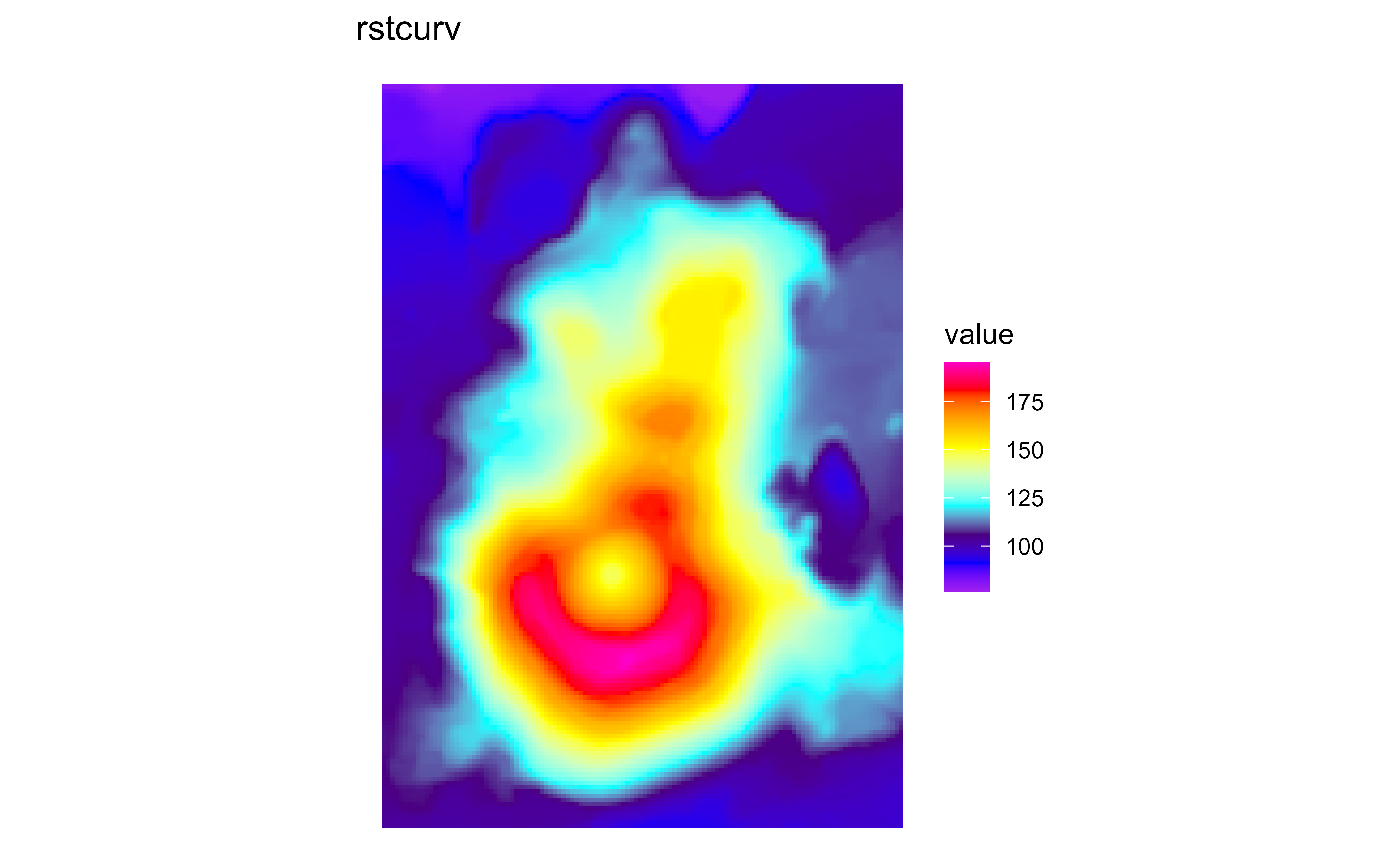
Raster map of volcanic elevation using the GRASS rstcurv palette. Fill color encodes elevation across the volcanic terrain.

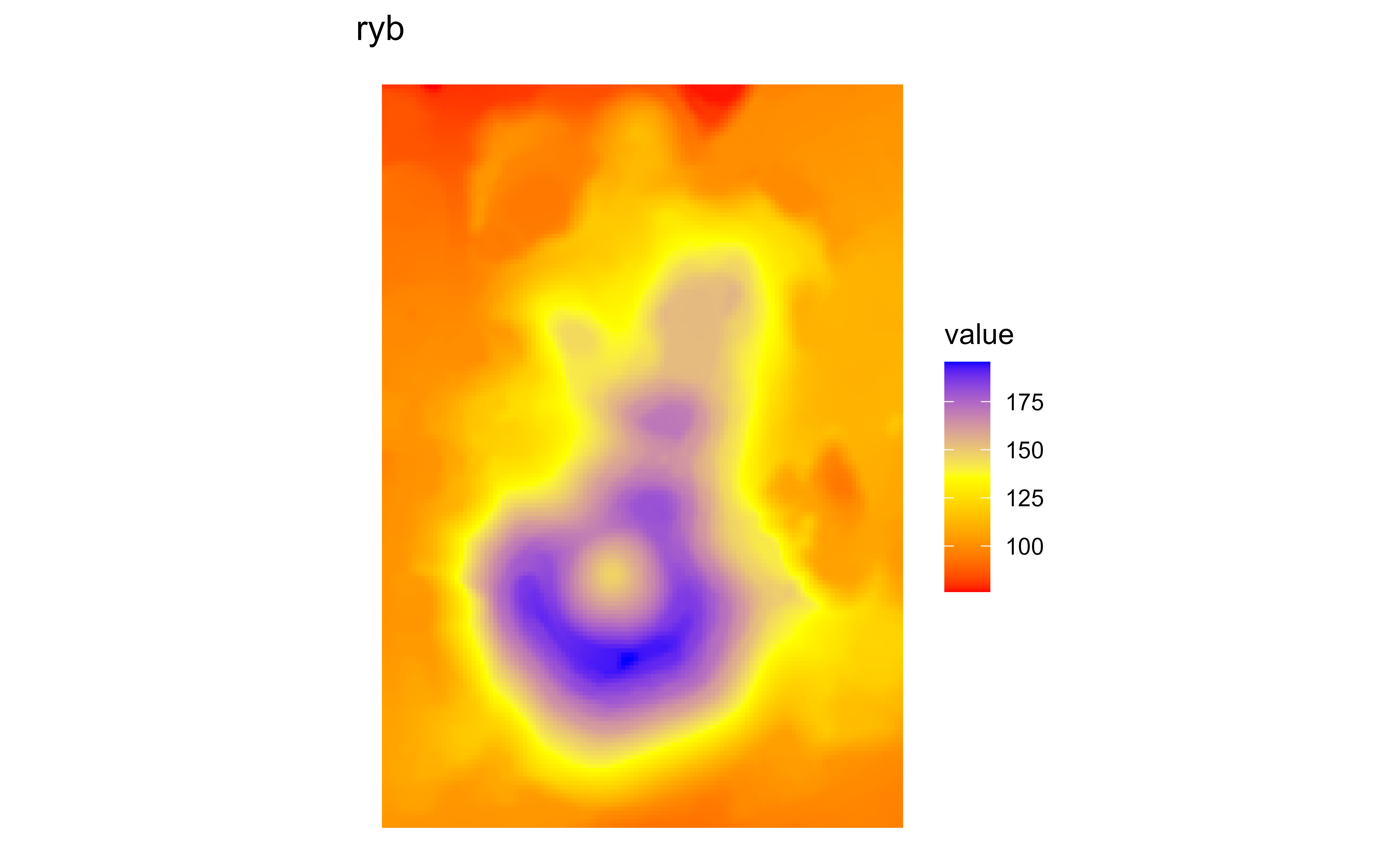
Raster map of volcanic elevation using the GRASS ryb palette. Fill color encodes elevation across the volcanic terrain.

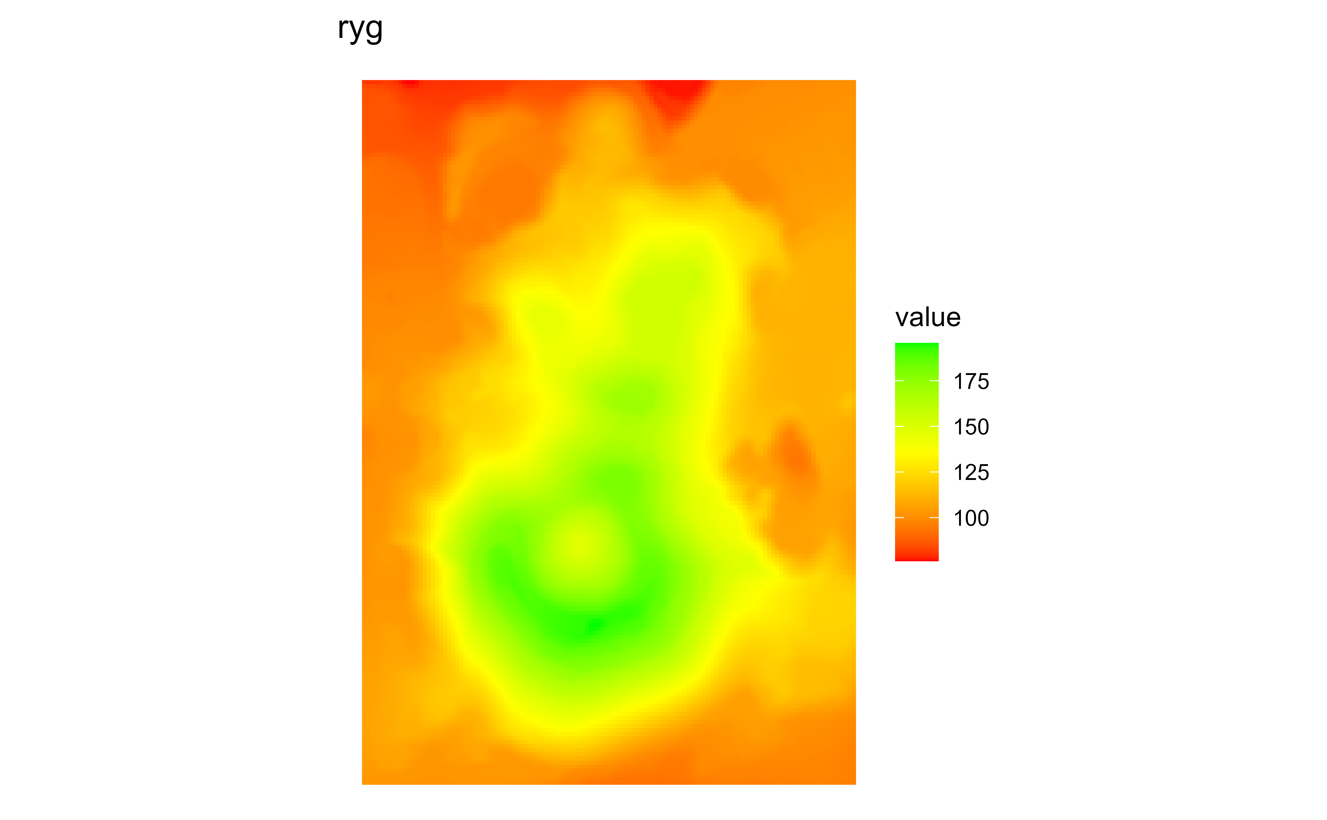
Raster map of volcanic elevation using the GRASS ryg palette. Fill color encodes elevation across the volcanic terrain.

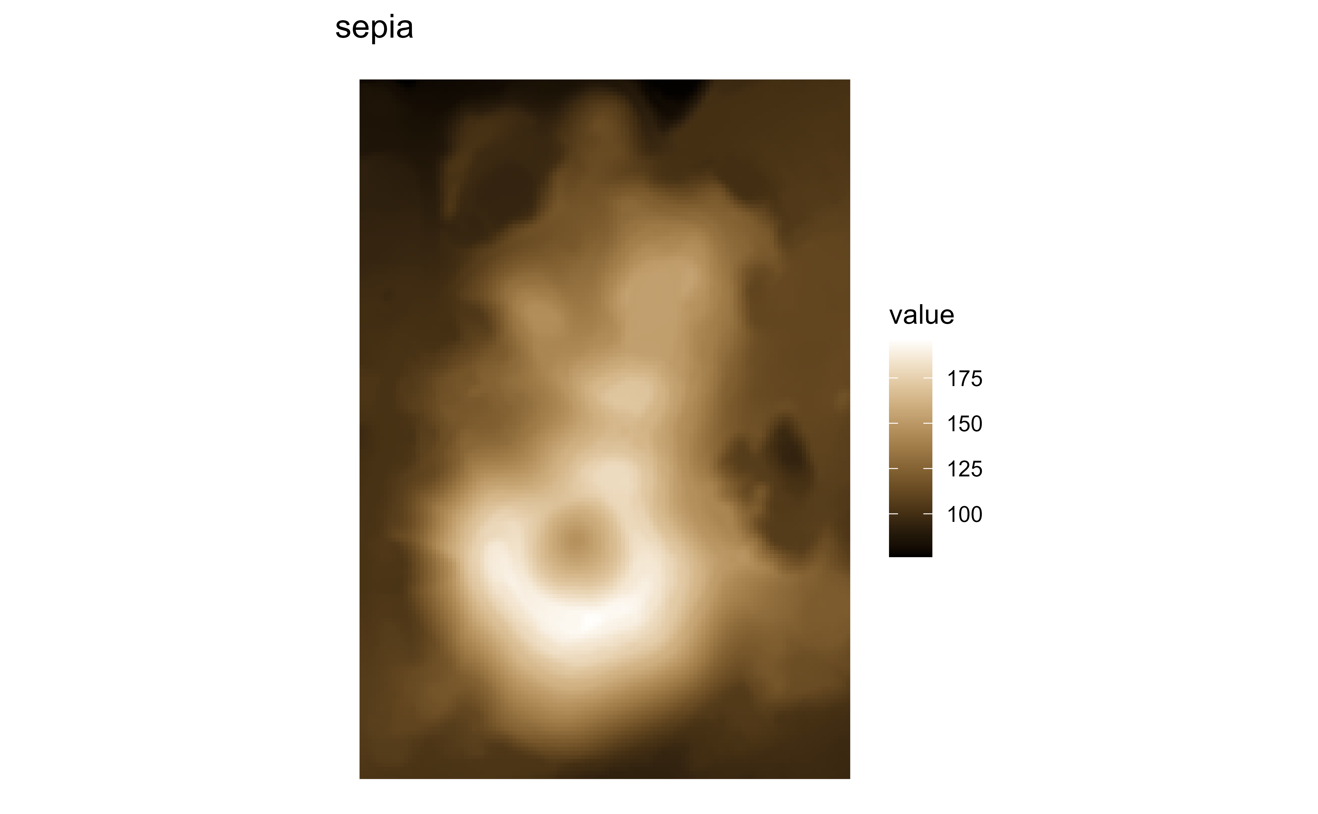
Raster map of volcanic elevation using the GRASS sepia palette. Fill color encodes elevation across the volcanic terrain.

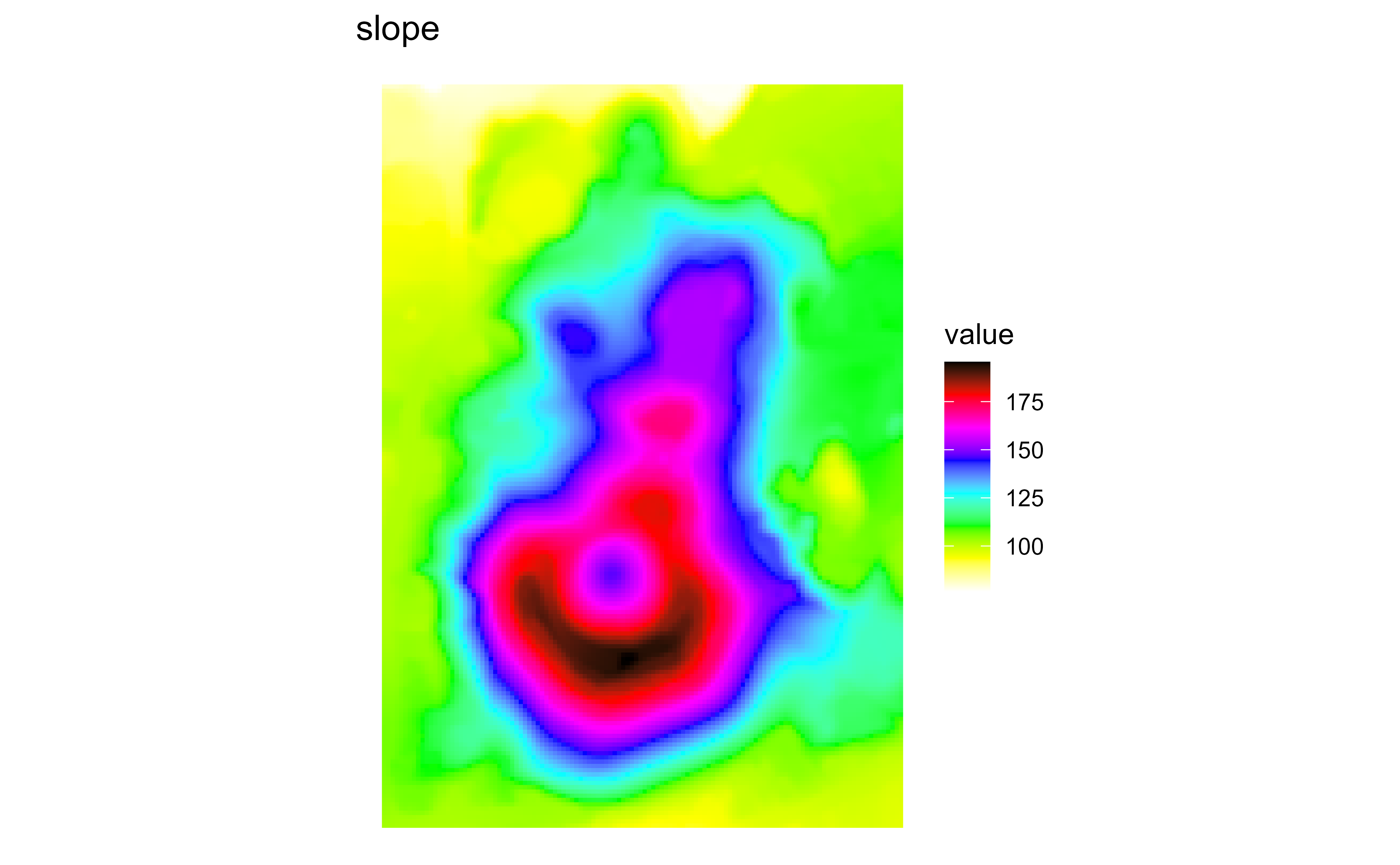
Raster map of volcanic elevation using the GRASS slope palette. Fill color encodes elevation across the volcanic terrain.

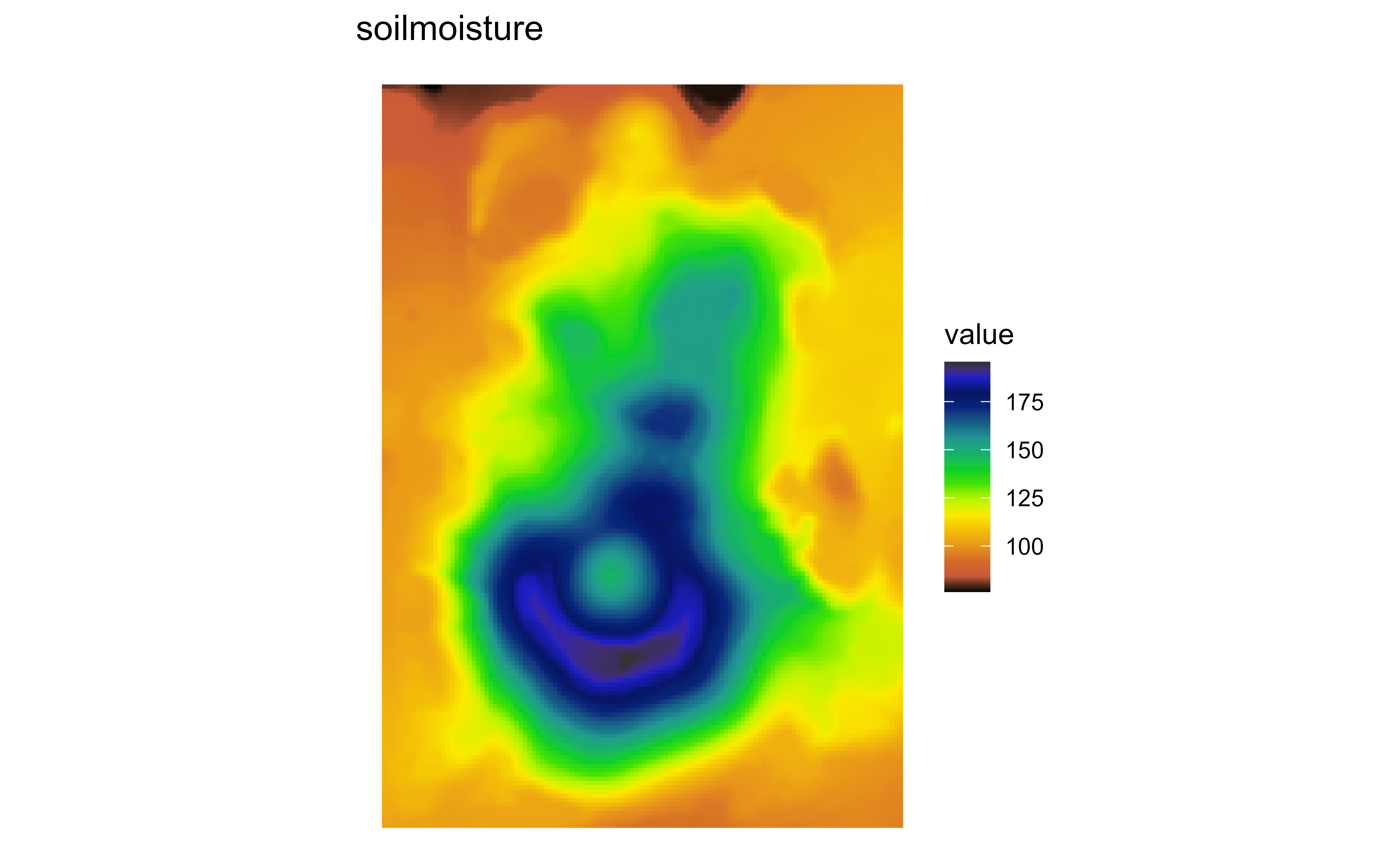
Raster map of volcanic elevation using the GRASS soilmoisture palette. Fill color encodes elevation across the volcanic terrain.

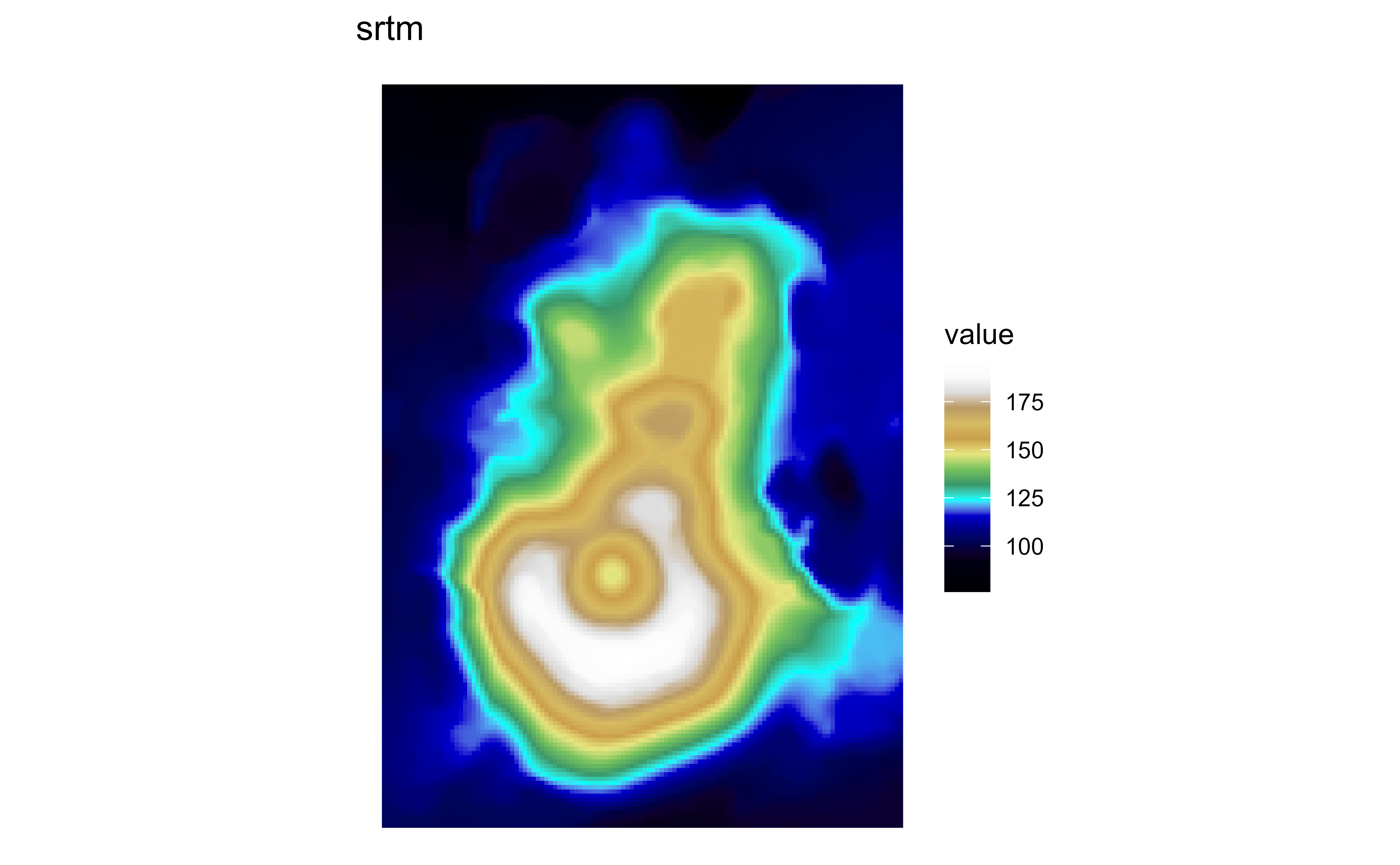
Raster map of volcanic elevation using the GRASS srtm palette. Fill color encodes elevation across the volcanic terrain.

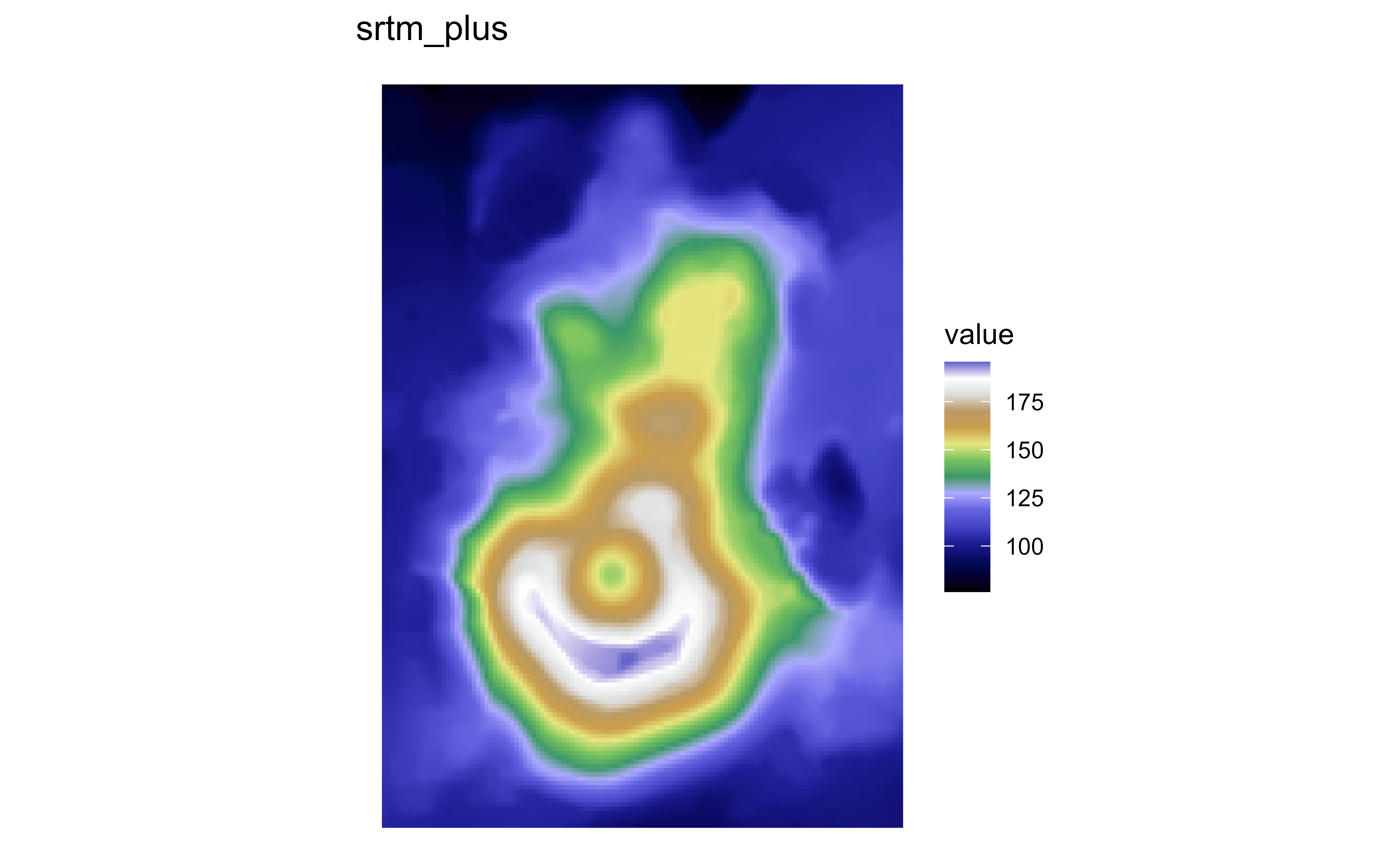
Raster map of volcanic elevation using the GRASS srtm_plus palette. Fill color encodes elevation across the volcanic terrain.

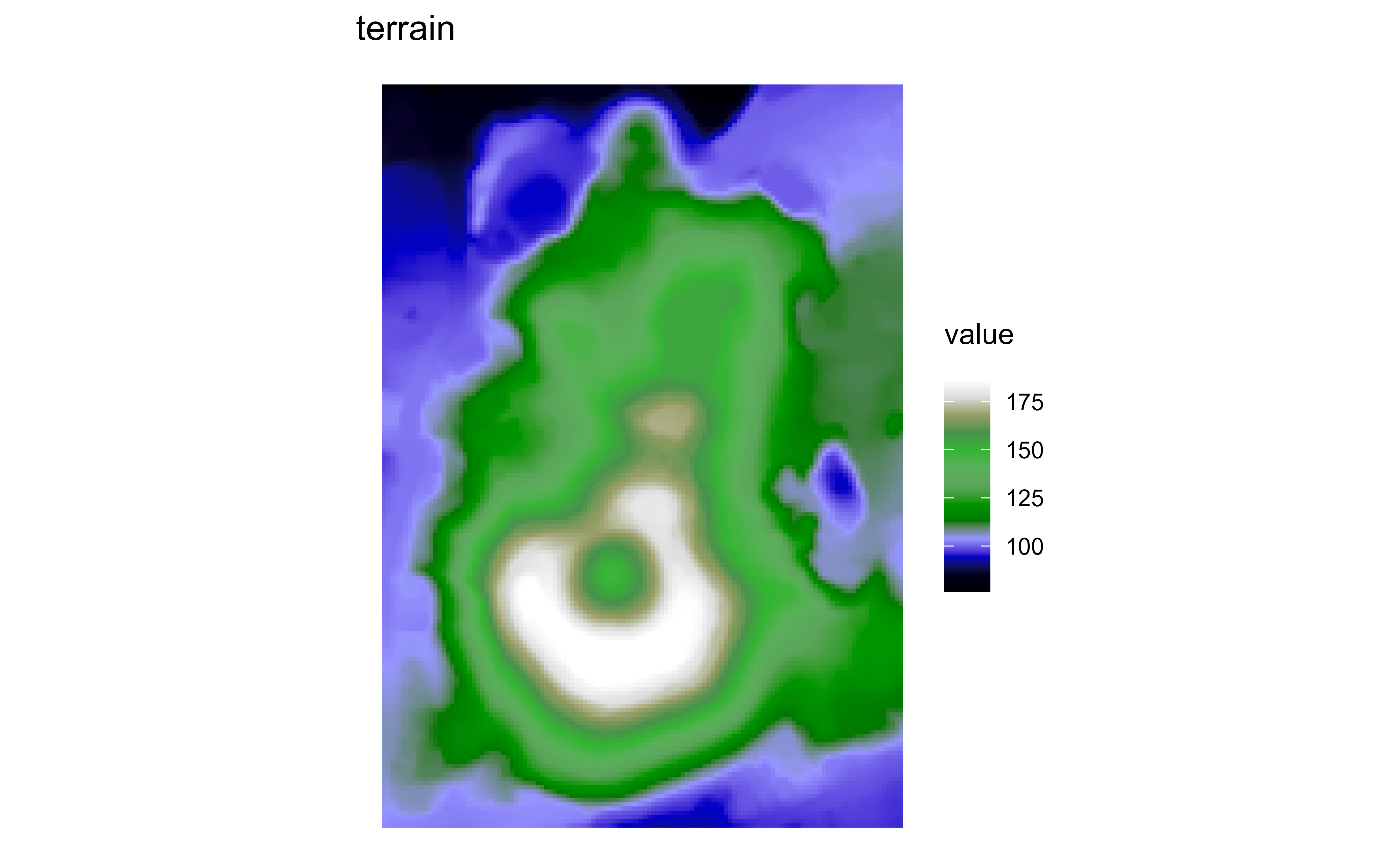
Raster map of volcanic elevation using the GRASS terrain palette. Fill color encodes elevation across the volcanic terrain.

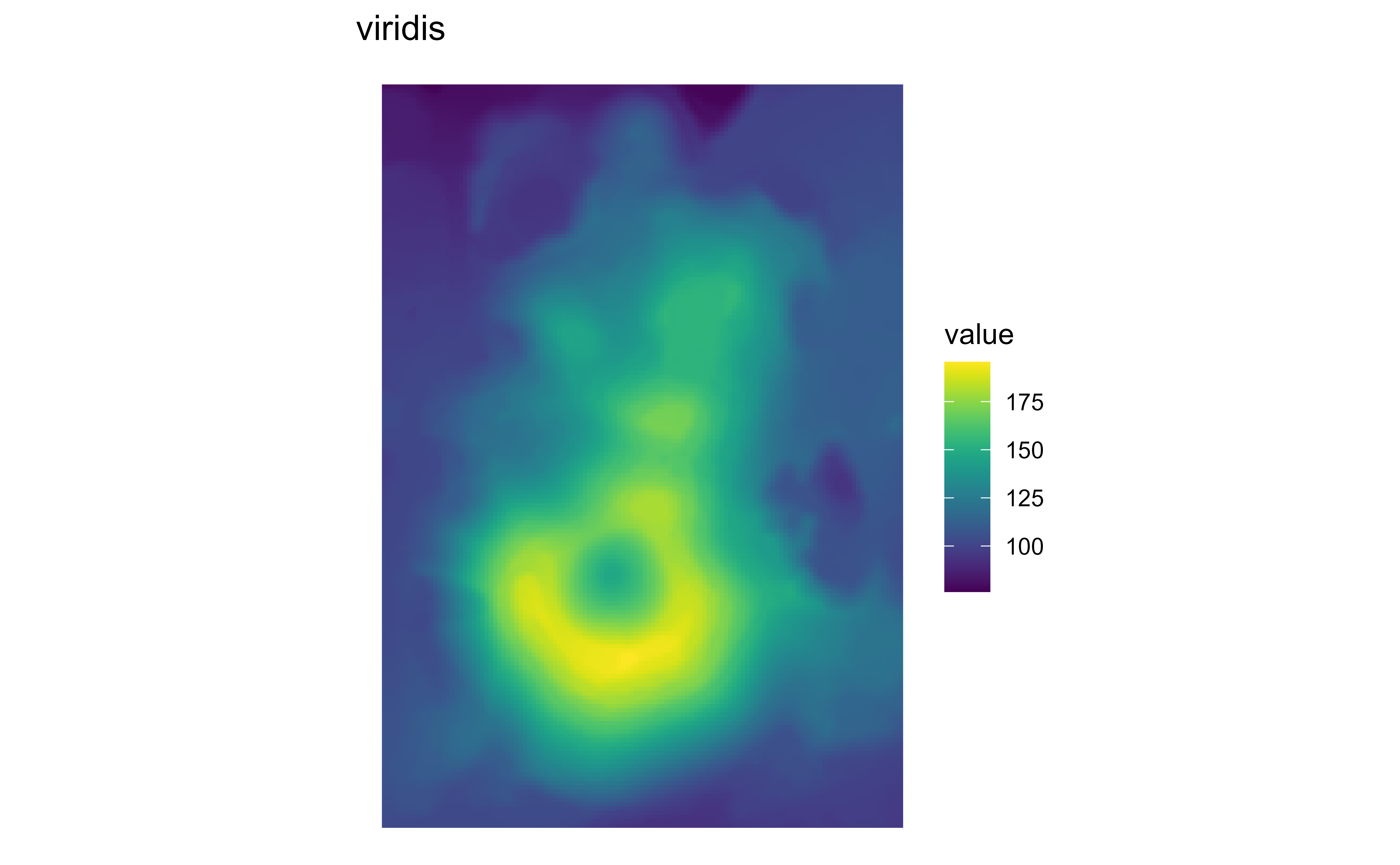
Raster map of volcanic elevation using the GRASS viridis palette. Fill color encodes elevation across the volcanic terrain.

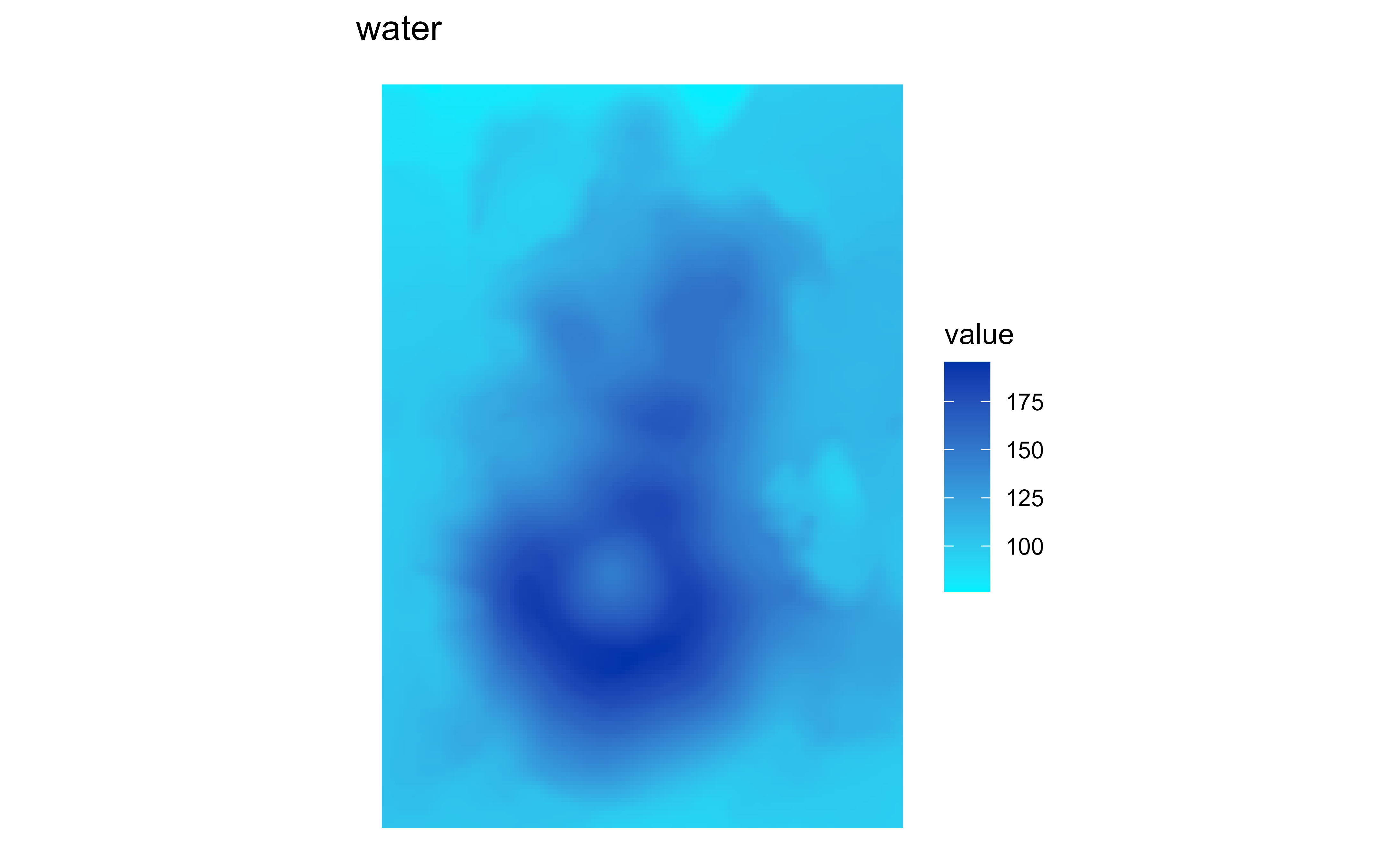
Raster map of volcanic elevation using the GRASS water palette. Fill color encodes elevation across the volcanic terrain.

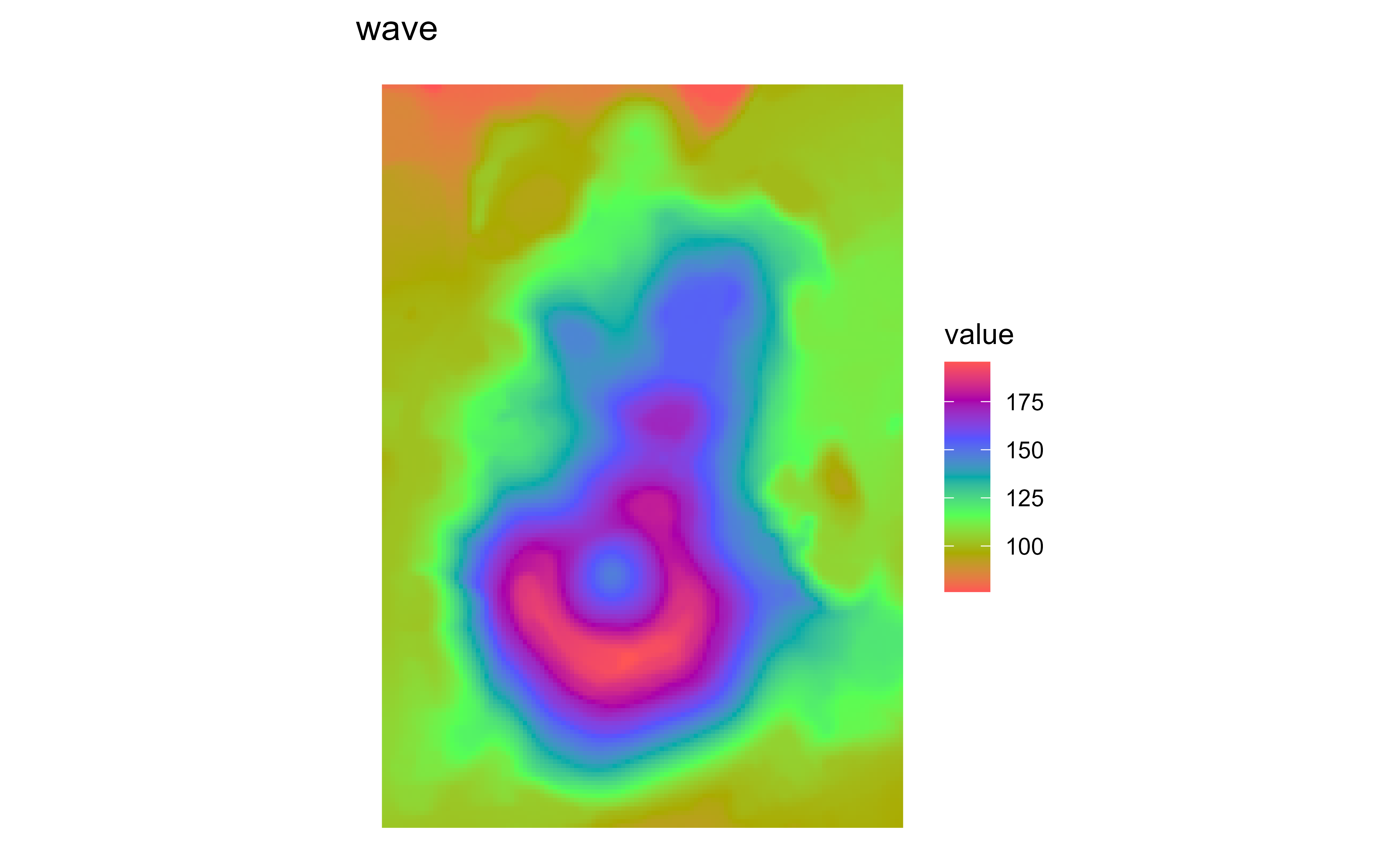
Raster map of volcanic elevation using the GRASS wave palette. Fill color encodes elevation across the volcanic terrain.

scale_fill_princess_*

See scale_fill_princess_c() for details.

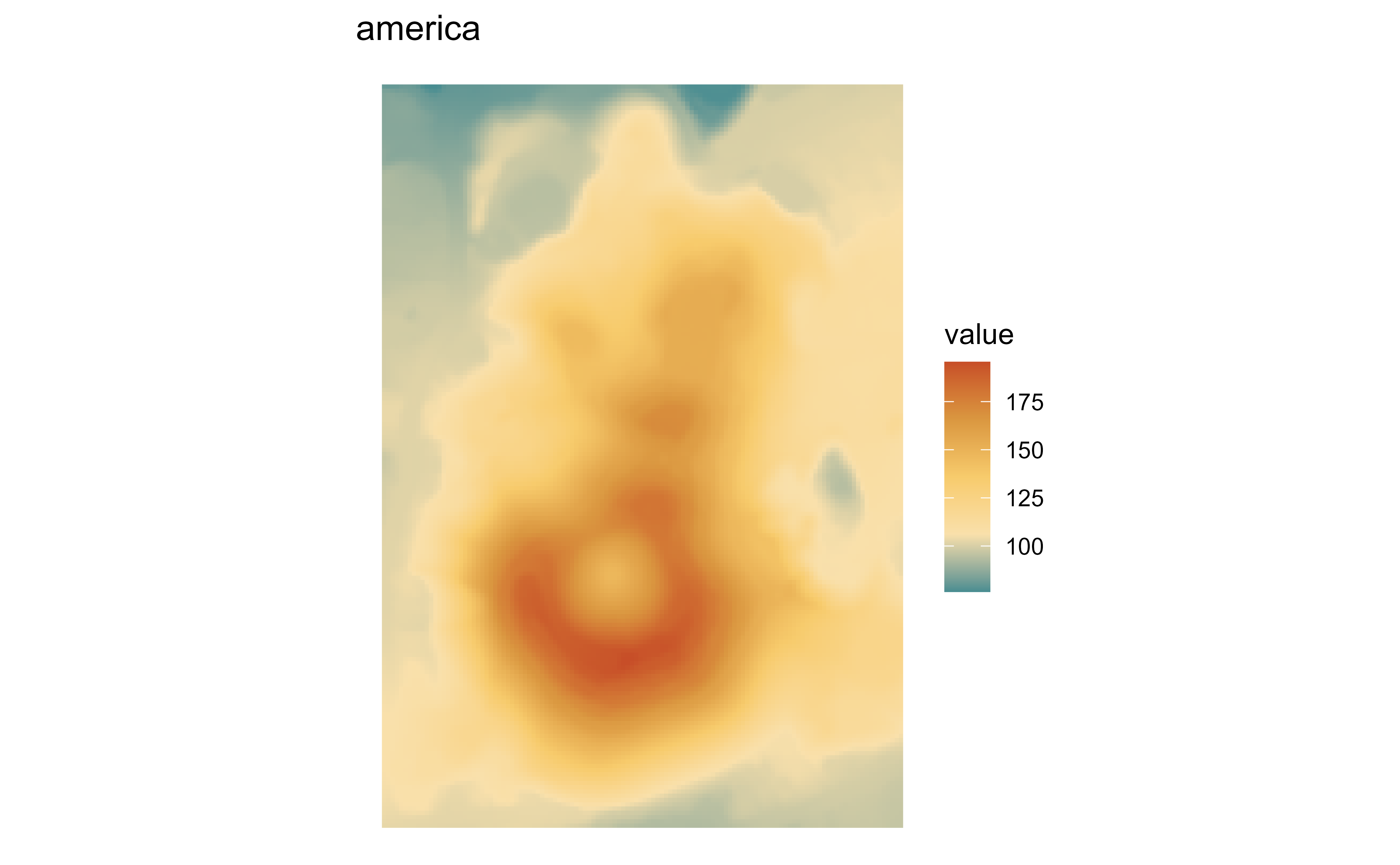
Raster map of volcanic elevation using the Princess america palette. Fill color encodes elevation across the volcanic terrain.

Raster map of volcanic elevation using the Princess arabia palette. Fill color encodes elevation across the volcanic terrain.

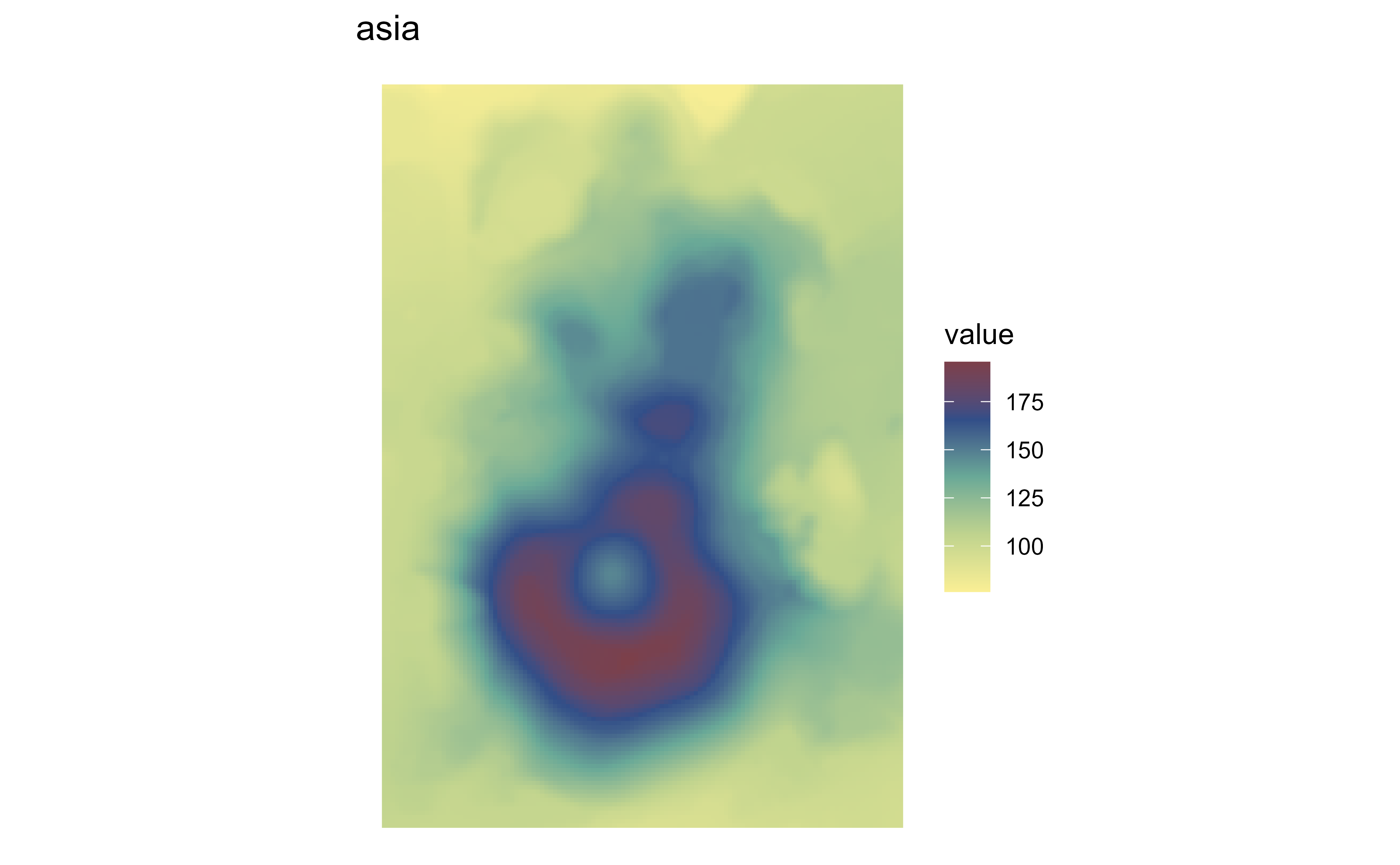
Raster map of volcanic elevation using the Princess asia palette. Fill color encodes elevation across the volcanic terrain.

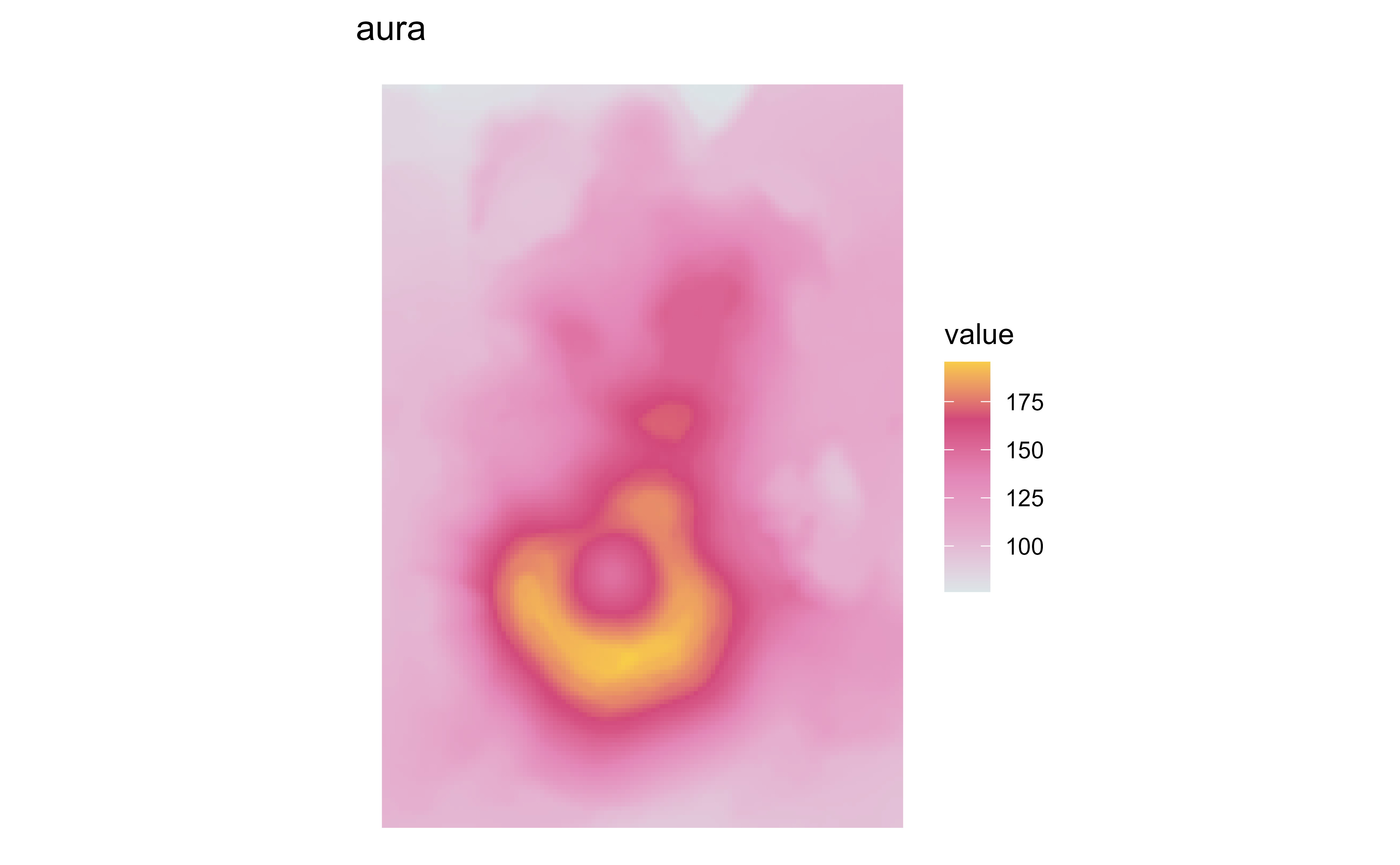
Raster map of volcanic elevation using the Princess aura palette. Fill color encodes elevation across the volcanic terrain.

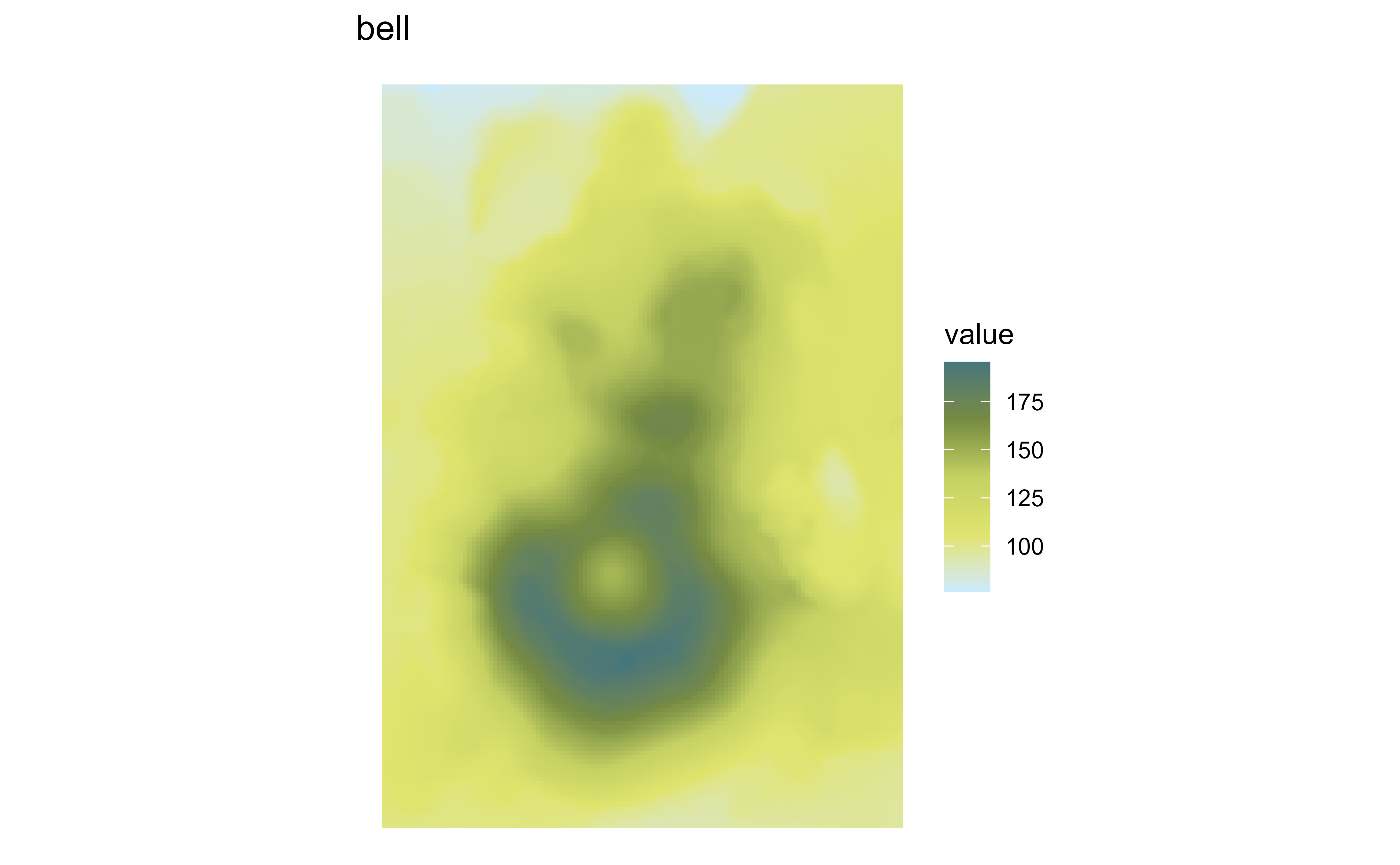
Raster map of volcanic elevation using the Princess bell palette. Fill color encodes elevation across the volcanic terrain.

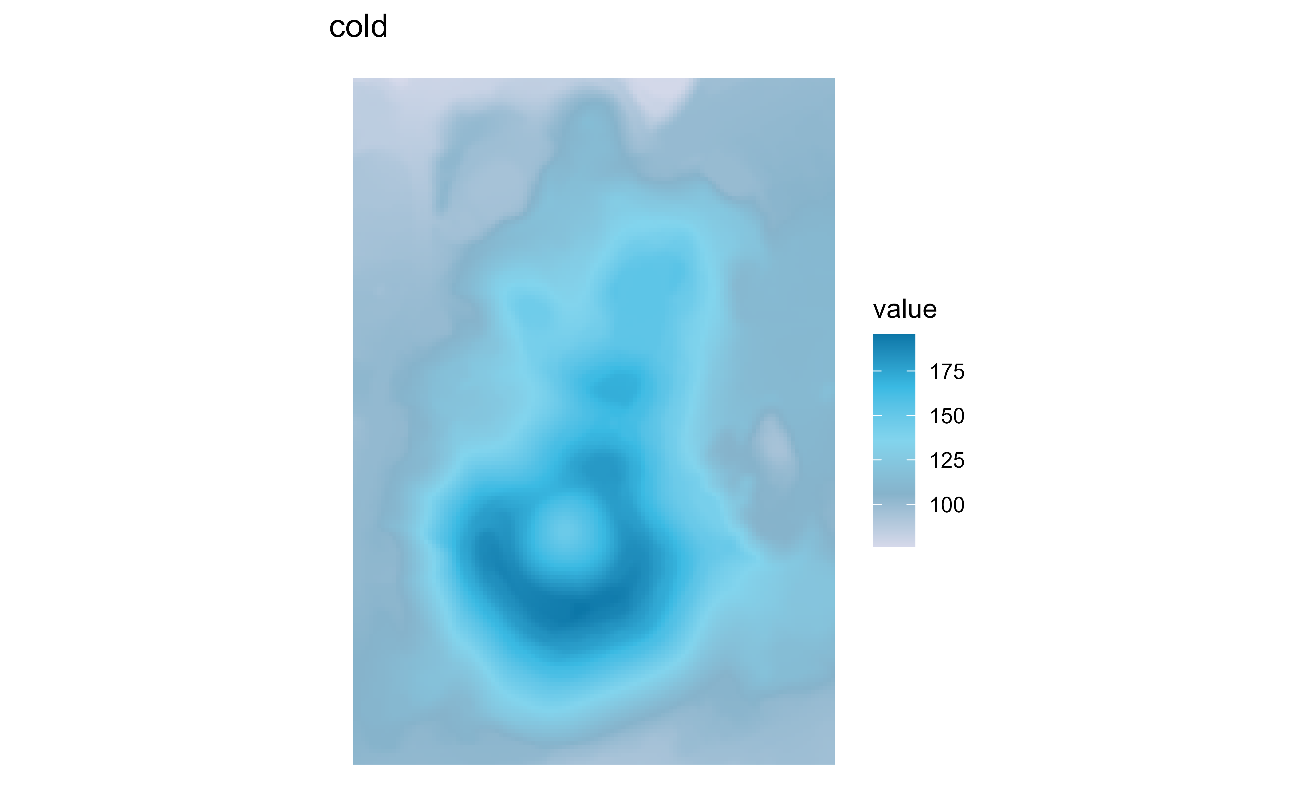
Raster map of volcanic elevation using the Princess cold palette. Fill color encodes elevation across the volcanic terrain.

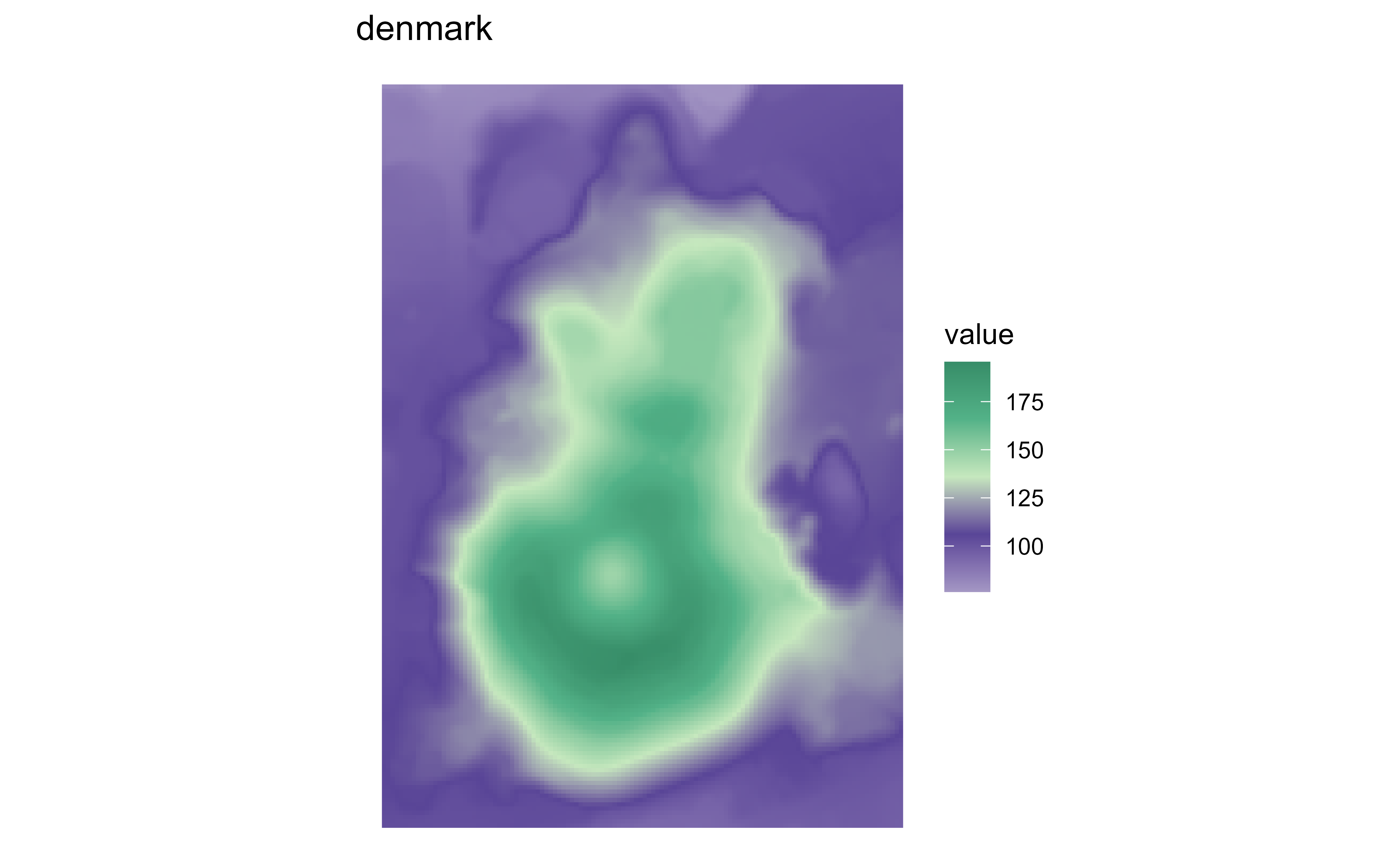
Raster map of volcanic elevation using the Princess denmark palette. Fill color encodes elevation across the volcanic terrain.

Raster map of volcanic elevation using the Princess ella palette. Fill color encodes elevation across the volcanic terrain.

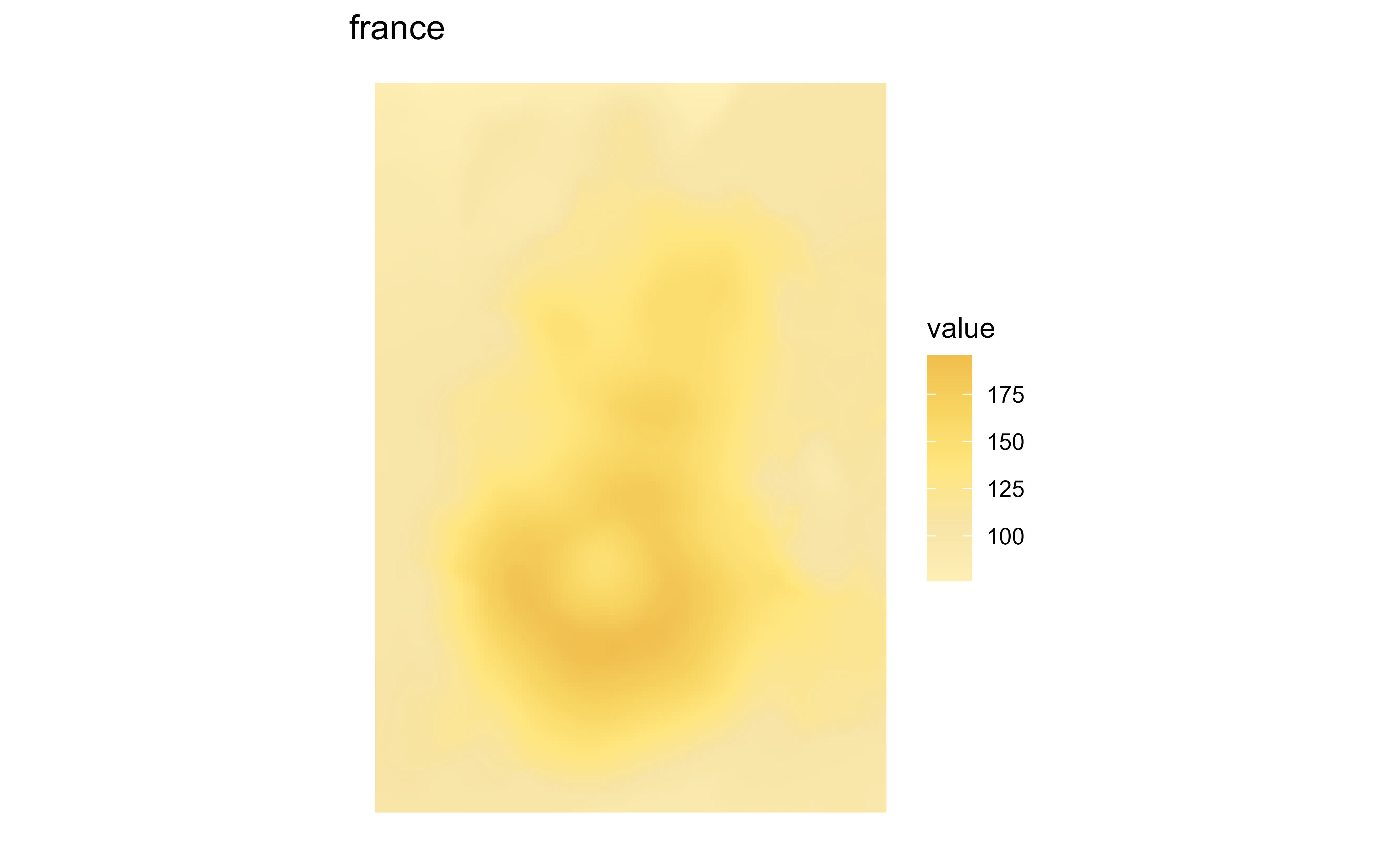
Raster map of volcanic elevation using the Princess france palette. Fill color encodes elevation across the volcanic terrain.

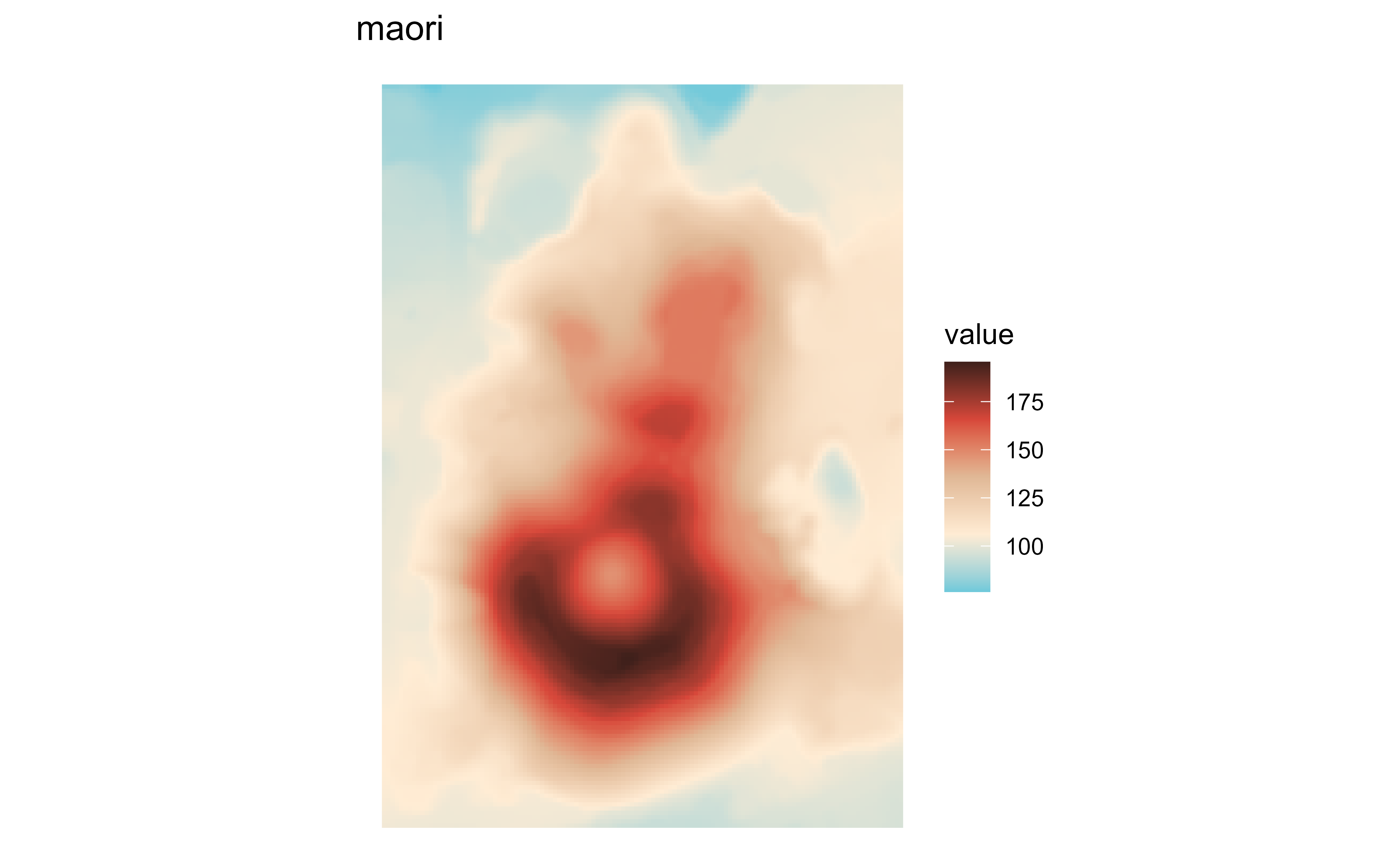
Raster map of volcanic elevation using the Princess maori palette. Fill color encodes elevation across the volcanic terrain.

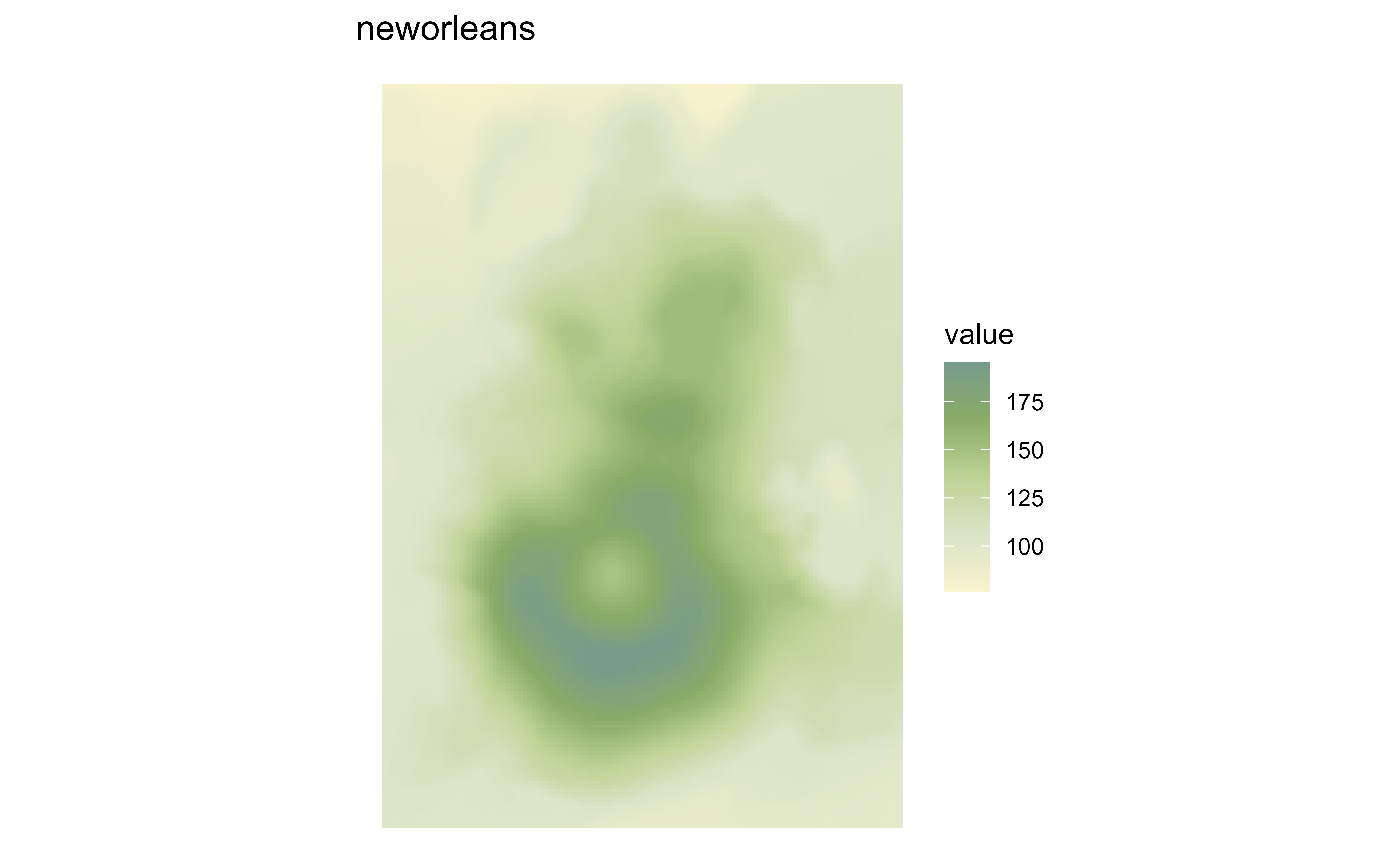
Raster map of volcanic elevation using the Princess neworleans palette. Fill color encodes elevation across the volcanic terrain.

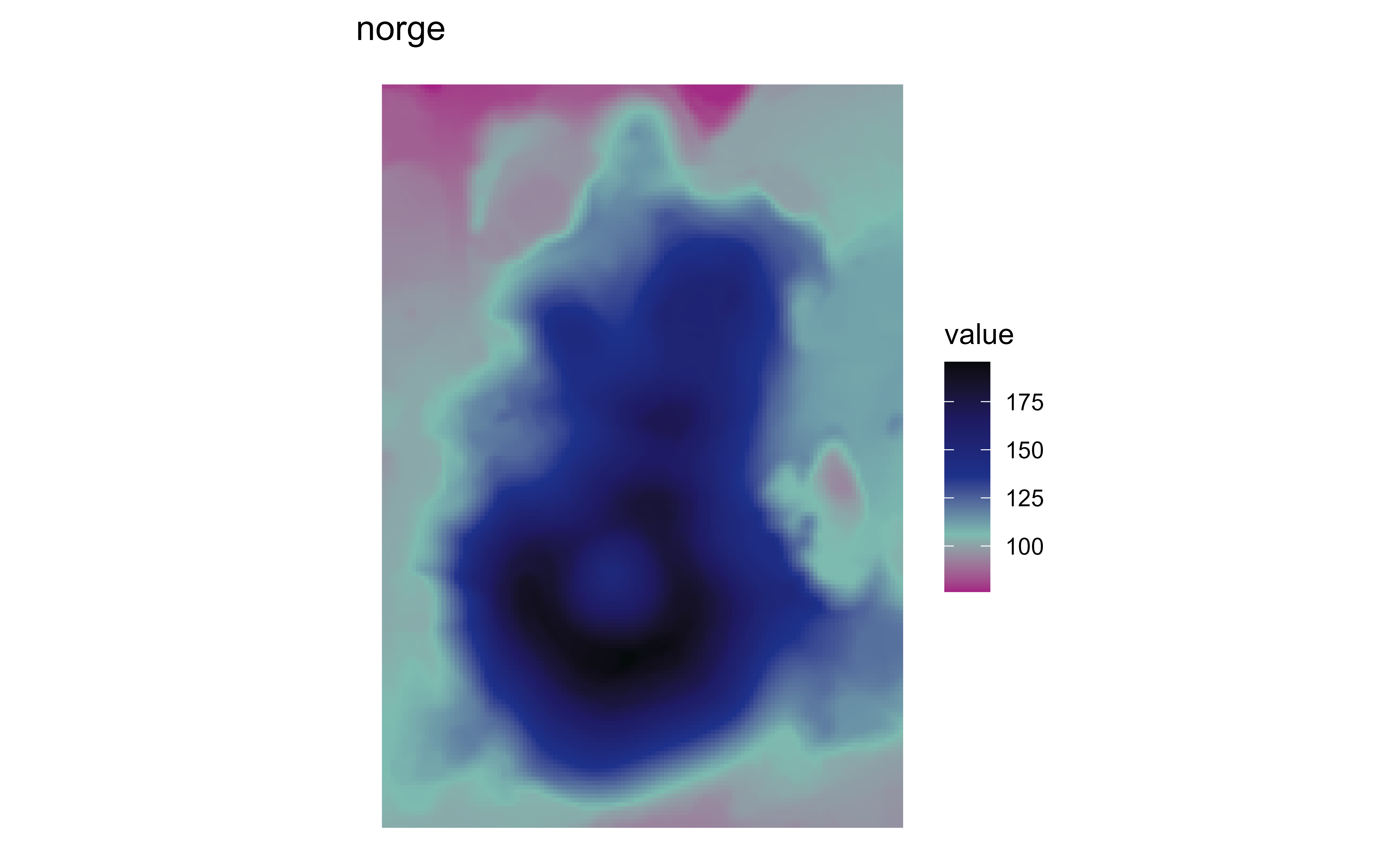
Raster map of volcanic elevation using the Princess norge palette. Fill color encodes elevation across the volcanic terrain.

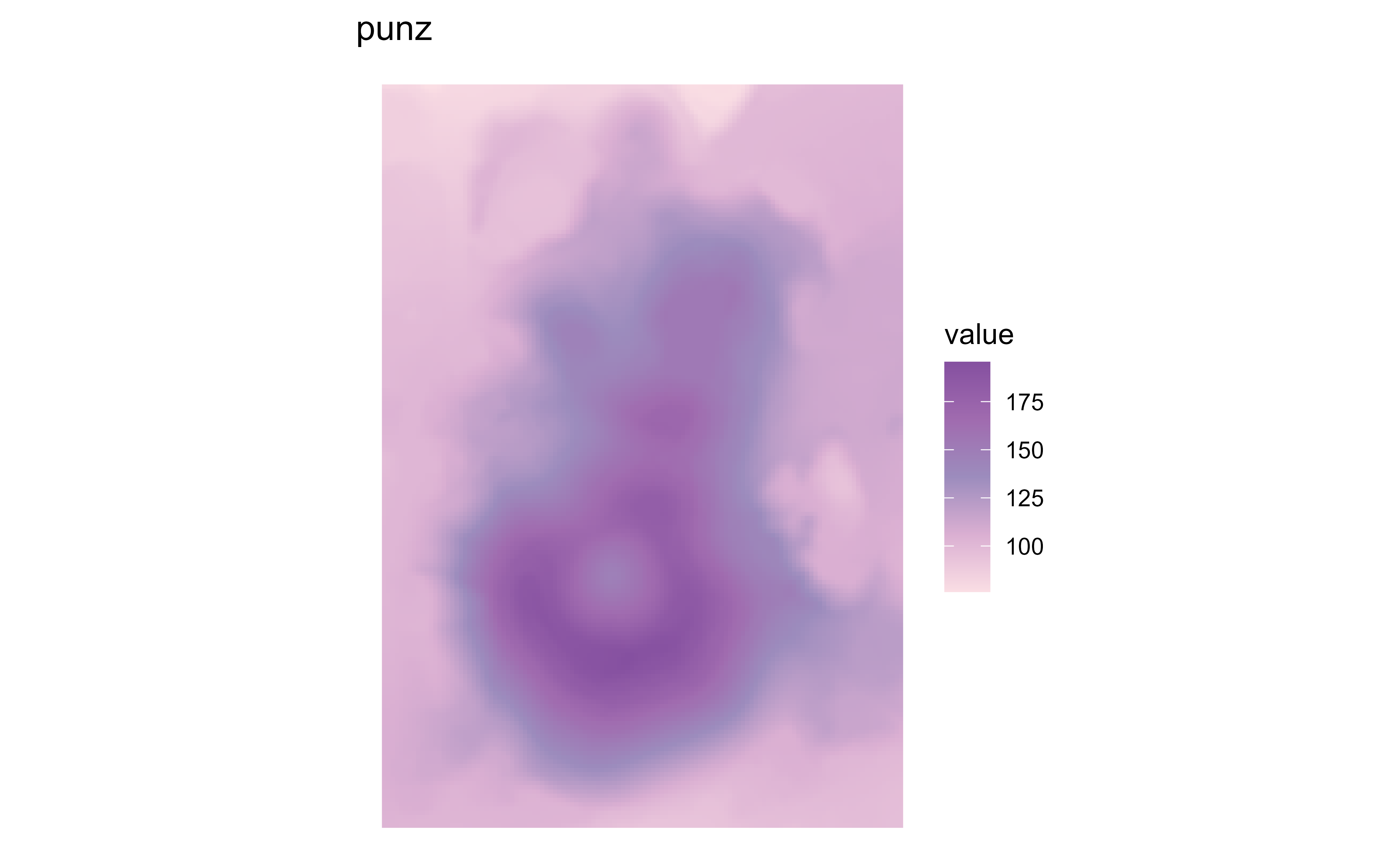
Raster map of volcanic elevation using the Princess punz palette. Fill color encodes elevation across the volcanic terrain.

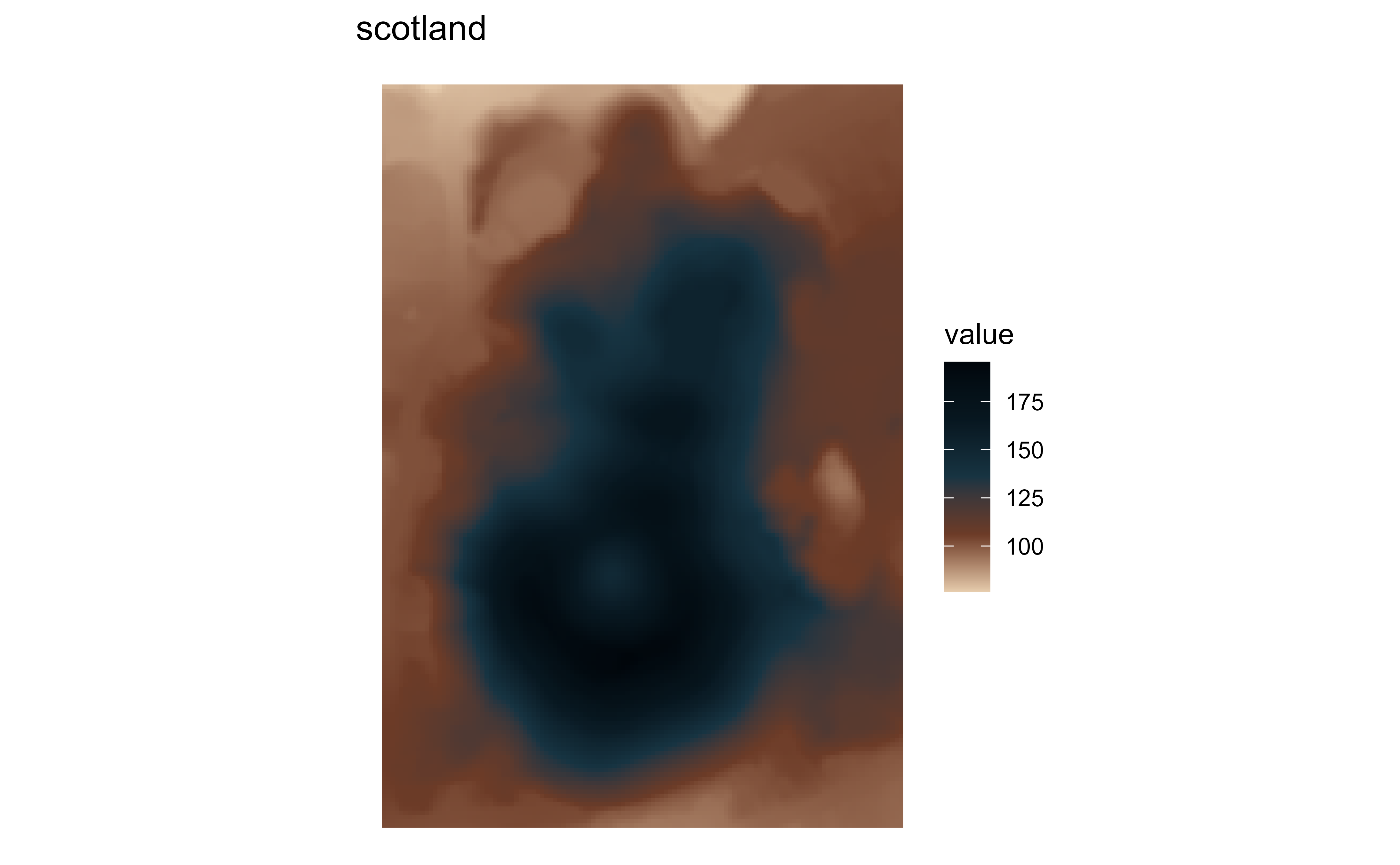
Raster map of volcanic elevation using the Princess scotland palette. Fill color encodes elevation across the volcanic terrain.

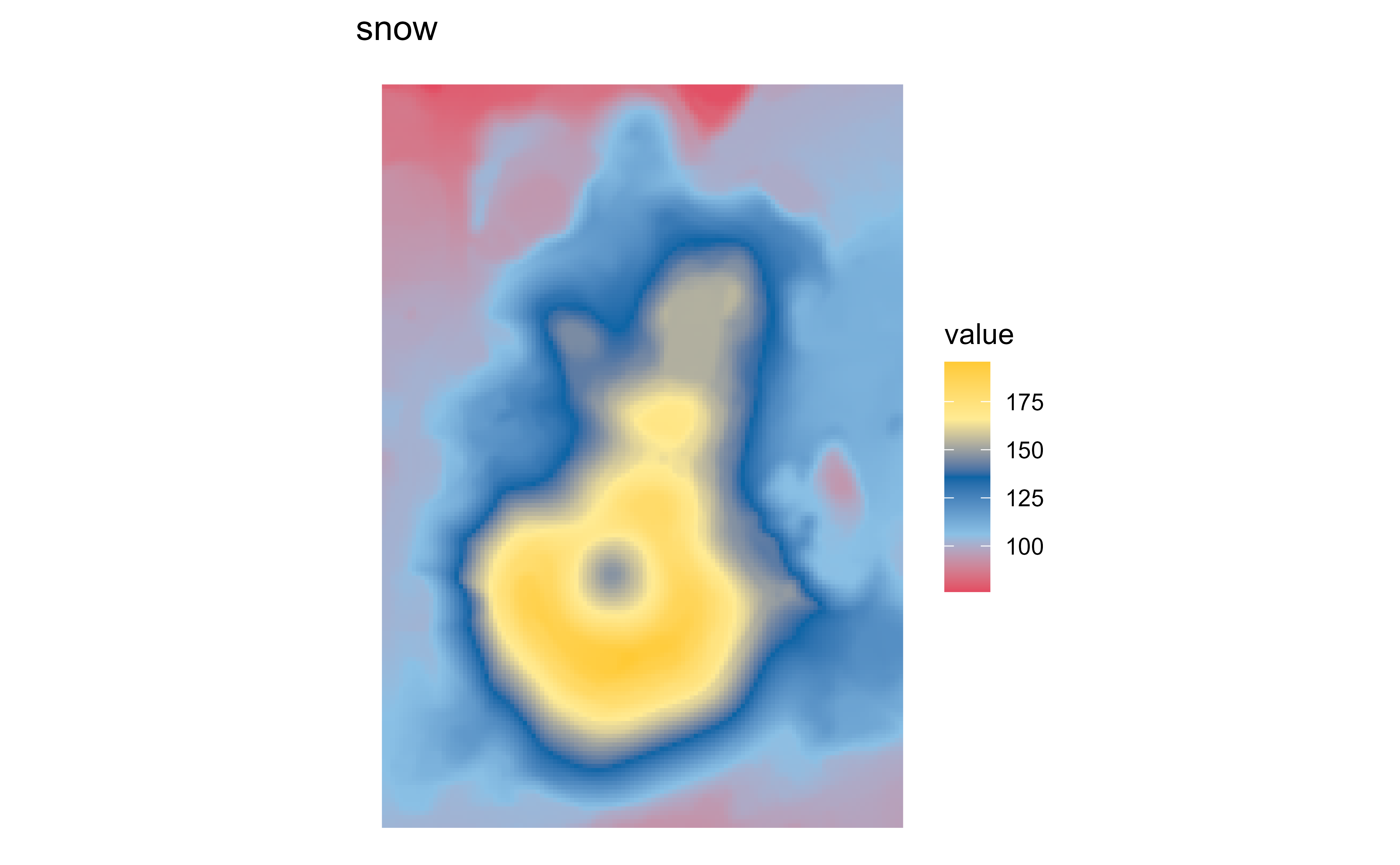
Raster map of volcanic elevation using the Princess snow palette. Fill color encodes elevation across the volcanic terrain.